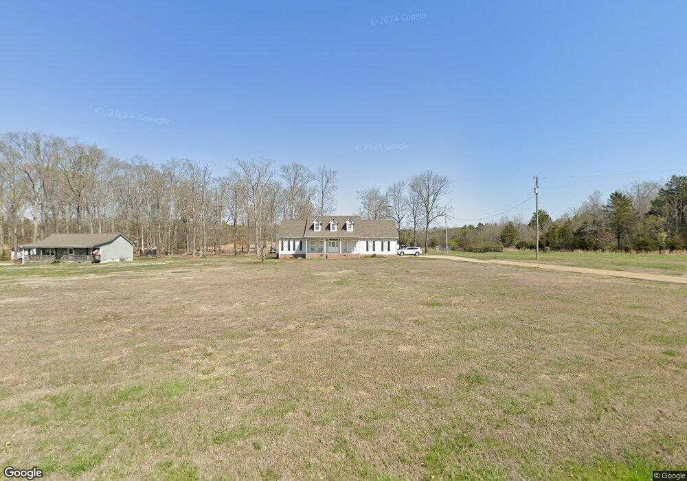
547 County Line Rd Rock Spring, GA 30739
Rock Spring NeighborhoodEstimated Value: $359,000 - $506,413
--
Bed
2
Baths
1,557
Sq Ft
$263/Sq Ft
Est. Value
About This Home
This home is located at 547 County Line Rd, Rock Spring, GA 30739 and is currently estimated at $409,103, approximately $262 per square foot. 547 County Line Rd is a home located in Walker County with nearby schools including Rock Spring Elementary School, Lafayette High School, and Alice M Daley Adventist School.
Ownership History
Date
Name
Owned For
Owner Type
Purchase Details
Closed on
Oct 26, 2000
Sold by
Vaughn Darrell G and Vaughn Tonyia
Bought by
Edwards Mark W and Edwards Janet W
Current Estimated Value
Purchase Details
Closed on
Jun 22, 1998
Sold by
Carter Ladell
Bought by
Vaughn Darrell G and Vaughn Tonyia
Purchase Details
Closed on
Jan 1, 1972
Bought by
Carter Ladell
Create a Home Valuation Report for This Property
The Home Valuation Report is an in-depth analysis detailing your home's value as well as a comparison with similar homes in the area
Home Values in the Area
Average Home Value in this Area
Purchase History
| Date | Buyer | Sale Price | Title Company |
|---|---|---|---|
| Edwards Mark W | $54,500 | -- | |
| Vaughn Darrell G | $37,700 | -- | |
| Carter Ladell | -- | -- |
Source: Public Records
Tax History Compared to Growth
Tax History
| Year | Tax Paid | Tax Assessment Tax Assessment Total Assessment is a certain percentage of the fair market value that is determined by local assessors to be the total taxable value of land and additions on the property. | Land | Improvement |
|---|---|---|---|---|
| 2024 | $3,888 | $193,685 | $40,622 | $153,063 |
| 2023 | $3,741 | $177,599 | $32,240 | $145,359 |
| 2022 | $3,517 | $162,258 | $36,360 | $125,898 |
| 2021 | $3,043 | $130,558 | $36,360 | $94,198 |
| 2020 | $2,710 | $112,344 | $36,360 | $75,984 |
| 2019 | $2,703 | $112,344 | $36,360 | $75,984 |
| 2018 | $2,973 | $112,344 | $36,360 | $75,984 |
| 2017 | $2,731 | $112,344 | $36,360 | $75,984 |
| 2016 | $2,411 | $112,344 | $36,360 | $75,984 |
| 2015 | $2,969 | $106,025 | $33,944 | $72,081 |
| 2014 | $2,754 | $106,025 | $33,944 | $72,081 |
| 2013 | -- | $106,025 | $33,944 | $72,081 |
Source: Public Records
Map
Nearby Homes
- 201 Van Dell Dr
- 1052 Huffman Rd
- 3255 Colbert Hollow Rd
- 533 Van Dell Dr
- 134 Farm View Cir
- 200 Cattail Dr
- 0 Temperance Hall Rd Unit 10506446
- 0 Temperance Hall Rd Unit 1510568
- 0 Alabama Hwy Unit 1520958
- 0 Alabama Hwy Unit 21222630
- 0 Alabama Hwy Unit TRACT 3 10244950
- 72 Brutis Dr
- 1282 Temperance Hall Rd
- 265 Rodeo Dr
- Old Alabama Hwy Ga-151
- 287 E Teems Rd
- 0 Colbert Hollow Rd Unit 1513202
- 6280 Georgia 151
- 76 Side Kick Ln
- 7606 Highway 95
- 566 County Line Rd
- 611 County Line Rd
- 673 County Line Rd
- 18 Hollyhock Ln
- 813 County Line Rd
- 189 County Line Rd
- 1410 County Line Rd
- 1 County Line Rd
- 2 County Line Rd
- 1259 County Line Rd
- 179 Van Horn Rd
- 515 Van Horn Rd
- 104 County Line Rd
- 303 Mcintire Rd
- 159 Van Horn Rd
- 189 Huffman Rd
- 1054 County Line Rd
- 789 Mcintire Rd
- 649 Mcintire Rd
- 302 Mcintire Rd