547 Durham Rd New Gloucester, ME 04260
Estimated Value: $455,000 - $624,000
3
Beds
2
Baths
768
Sq Ft
$736/Sq Ft
Est. Value
About This Home
This home is located at 547 Durham Rd, New Gloucester, ME 04260 and is currently estimated at $564,974, approximately $735 per square foot. 547 Durham Rd is a home located in Cumberland County with nearby schools including Gray-New Gloucester High School.
Ownership History
Date
Name
Owned For
Owner Type
Purchase Details
Closed on
Dec 21, 2017
Sold by
Schlichting Pamela B and Schlichting Douglas E
Bought by
Beck Arne M
Current Estimated Value
Create a Home Valuation Report for This Property
The Home Valuation Report is an in-depth analysis detailing your home's value as well as a comparison with similar homes in the area
Home Values in the Area
Average Home Value in this Area
Purchase History
| Date | Buyer | Sale Price | Title Company |
|---|---|---|---|
| Beck Arne M | -- | -- |
Source: Public Records
Tax History
| Year | Tax Paid | Tax Assessment Tax Assessment Total Assessment is a certain percentage of the fair market value that is determined by local assessors to be the total taxable value of land and additions on the property. | Land | Improvement |
|---|---|---|---|---|
| 2025 | $5,626 | $363,682 | $129,251 | $234,431 |
| 2024 | $5,415 | $363,682 | $129,251 | $234,431 |
| 2023 | $5,197 | $363,682 | $129,251 | $234,431 |
| 2022 | $4,458 | $323,061 | $129,251 | $193,810 |
| 2021 | $4,791 | $347,167 | $129,251 | $217,916 |
| 2020 | $4,739 | $347,167 | $129,251 | $217,916 |
| 2019 | $4,208 | $249,000 | $81,500 | $167,500 |
| 2018 | $3,618 | $249,000 | $81,500 | $167,500 |
| 2017 | $3,884 | $249,000 | $81,500 | $167,500 |
| 2016 | $3,660 | $249,000 | $81,500 | $167,500 |
| 2015 | $3,648 | $249,000 | $81,500 | $167,500 |
| 2014 | $3,611 | $249,000 | $81,500 | $167,500 |
| 2013 | $3,349 | $249,000 | $81,500 | $167,500 |
Source: Public Records
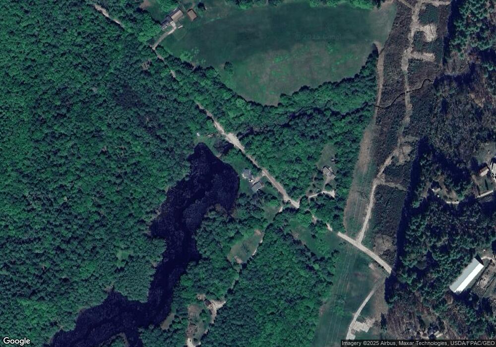
Map
Nearby Homes
- 850 Lawrence Rd
- 768 Lawrence Rd
- 1 Mattie Ln
- 24 Mattie Ln
- 244 Allen Rd
- 39 Pine Knoll Dr
- 26 Hemlock Ln
- 026-01 Dow Ln
- 112 Leighton Rd
- 059-007 Soper's Mill Rd
- 155 & 151 Gloucester Hill Rd
- 238 Hallowell Rd
- 006-114 Old Brunswick Rd
- 110 Bennett Rd
- 84 Town Farm Rd
- 92 Town Farm Rd
- 27 Bull Run
- 4 Harper's Trail
- 1523 North Rd
- 0 New Gloucester Rd
- 577 Durham Rd
- 1069 Durham Rd
- 557B Durham Rd
- 557 Durham Rd
- 510 Durham Rd
- 31 Merrill Ln
- 21 Merrill Ln
- 28 Durham Rd
- 491 Auburn Pownal Rd
- 469 Auburn Pownal Rd
- 455 Auburn Pownal Rd
- 443 Auburn Pownal Rd
- 1039 Durham Rd
- 21 Auburn Pownal Rd
- 401 Auburn Pownal Rd
- 462 Auburn Pownal Rd
- 337 Auburn Pownal Rd
- 923 Lawrence Rd
- 925 Lawrence Rd
- 9 Maine Forest Dr
Your Personal Tour Guide
Ask me questions while you tour the home.