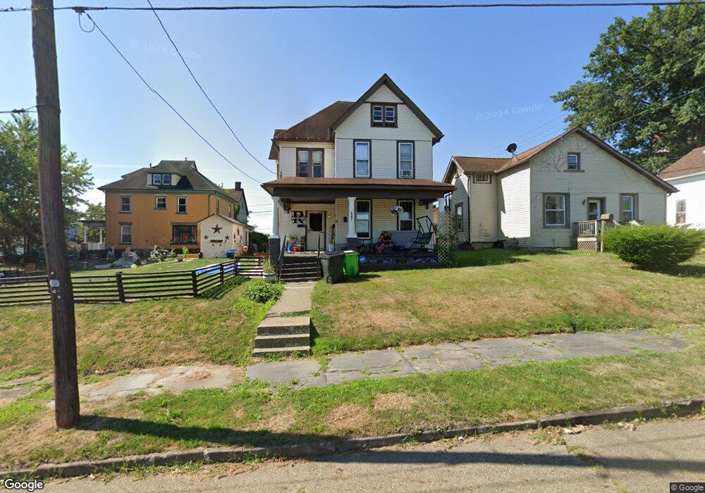
547 E Columbia St Alliance, OH 44601
Estimated Value: $70,058 - $104,000
5
Beds
2
Baths
1,892
Sq Ft
$46/Sq Ft
Est. Value
About This Home
This home is located at 547 E Columbia St, Alliance, OH 44601 and is currently estimated at $87,265, approximately $46 per square foot. 547 E Columbia St is a home located in Stark County with nearby schools including Alliance Intermediate School at Northside, Alliance Elementary School at Rockhill, and Alliance Middle School.
Ownership History
Date
Name
Owned For
Owner Type
Purchase Details
Closed on
Dec 21, 2021
Sold by
Russo Norma F
Bought by
Davis Karen L
Current Estimated Value
Purchase Details
Closed on
Mar 29, 2021
Sold by
Russo Norma F and Russo Norma Faye
Bought by
Russo Charles M and Davis Karen L
Purchase Details
Closed on
Sep 15, 1992
Create a Home Valuation Report for This Property
The Home Valuation Report is an in-depth analysis detailing your home's value as well as a comparison with similar homes in the area
Home Values in the Area
Average Home Value in this Area
Purchase History
| Date | Buyer | Sale Price | Title Company |
|---|---|---|---|
| Davis Karen L | -- | Mahland Jacqueline C | |
| Russo Norma F | -- | Mahland Jacqueline C | |
| Russo Charles M | -- | None Available | |
| -- | -- | -- |
Source: Public Records
Tax History Compared to Growth
Tax History
| Year | Tax Paid | Tax Assessment Tax Assessment Total Assessment is a certain percentage of the fair market value that is determined by local assessors to be the total taxable value of land and additions on the property. | Land | Improvement |
|---|---|---|---|---|
| 2025 | $485 | $23,240 | $3,570 | $19,670 |
| 2024 | -- | $22,190 | $3,570 | $18,620 |
| 2023 | $458 | $10,850 | $1,820 | $9,030 |
| 2022 | $450 | $10,850 | $1,820 | $9,030 |
| 2021 | $85 | $10,850 | $1,820 | $9,030 |
| 2020 | $31 | $9,460 | $1,580 | $7,880 |
| 2019 | $30 | $9,460 | $1,580 | $7,880 |
| 2018 | $30 | $9,460 | $1,580 | $7,880 |
| 2017 | $0 | $8,300 | $1,330 | $6,970 |
| 2016 | $0 | $8,300 | $1,330 | $6,970 |
| 2015 | -- | $8,300 | $1,330 | $6,970 |
| 2014 | -- | $4,620 | $1,260 | $3,360 |
| 2013 | -- | $4,620 | $1,260 | $3,360 |
Source: Public Records
Map
Nearby Homes
- 142 S Seneca Ave
- V/L S Fredeom Ave
- 356 E Broadway St
- 361 E Main St
- 432 S Linden Ave
- 452 E Summit St
- 263 Franklin Ave
- 427 S Union Ave
- 1214 Jersey St
- 831 Wade Ave
- 710 N Freedom Ave
- 1005 S Freedom Ave
- 652 N Webb Ave
- 814 Milner St
- 163 W Market St
- 807 S Union Ave
- 124 E Wayne St
- 132 S Haines Ave
- 1044 S Liberty Ave
- 140 W Summit St
- 537 E Columbia St
- 221 S Seneca Ave
- 525 E Columbia St
- 231 S Seneca Ave
- 515 E Columbia St
- 532 E Broadway St
- 232 S Seneca Ave
- 560 E Broadway St
- 508 E Broadway St
- 508 E Broadway St Unit 2
- 508 E Broadway St Unit 9
- 526 E Columbia St
- 222 S Seneca Ave
- 503 E Columbia St
- 516 E Columbia St
- 242 S Seneca Ave
- 508 E Columbia St
- 537 E Market St
- 545 E Broadway St
- 304 S Seneca Ave