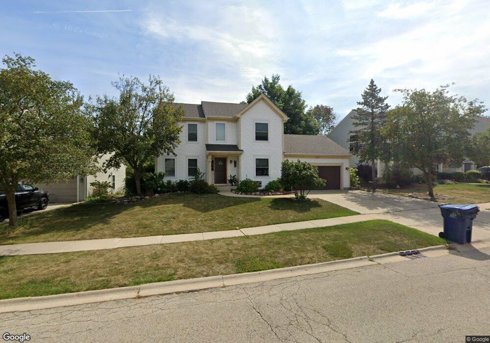
547 Hampton Dr Lake Villa, IL 60046
South Lake Villa NeighborhoodEstimated Value: $361,000 - $407,428
3
Beds
3
Baths
1,984
Sq Ft
$198/Sq Ft
Est. Value
About This Home
This home is located at 547 Hampton Dr, Lake Villa, IL 60046 and is currently estimated at $392,857, approximately $198 per square foot. 547 Hampton Dr is a home located in Lake County with nearby schools including Thompson Elementary School, Palombi Middle School, and Grayslake North High School.
Ownership History
Date
Name
Owned For
Owner Type
Purchase Details
Closed on
Mar 17, 1998
Sold by
Buschman Homes Inc
Bought by
Newby William R and Newby Michele J
Current Estimated Value
Home Financials for this Owner
Home Financials are based on the most recent Mortgage that was taken out on this home.
Original Mortgage
$131,900
Outstanding Balance
$19,164
Interest Rate
7.19%
Estimated Equity
$373,693
Create a Home Valuation Report for This Property
The Home Valuation Report is an in-depth analysis detailing your home's value as well as a comparison with similar homes in the area
Home Values in the Area
Average Home Value in this Area
Purchase History
We collect this data history from publicly available records. To have your information removed, we recommend requesting removal directly through your county’s website.
| Date | Buyer | Sale Price | Title Company |
|---|---|---|---|
| Newby William R | $176,000 | -- | |
| Buschman Homes Inc | $8,000 | Blackhawk Title Services |
Source: Public Records
Mortgage History
We collect this data history from publicly available records. To have your information removed, we recommend requesting removal directly through your county’s website.
| Date | Status | Borrower | Loan Amount |
|---|---|---|---|
| Open | Newby William R | $131,900 | |
| Closed | Newby William R | $26,380 |
Source: Public Records
Tax History
| Year | Tax Paid | Tax Assessment Tax Assessment Total Assessment is a certain percentage of the fair market value that is determined by local assessors to be the total taxable value of land and additions on the property. | Land | Improvement |
|---|---|---|---|---|
| 2025 | $9,955 | $111,982 | $18,535 | $93,447 |
| 2024 | $9,239 | $104,393 | $17,279 | $87,114 |
| 2023 | $8,482 | $92,236 | $15,267 | $76,969 |
| 2022 | $8,482 | $80,961 | $13,084 | $67,877 |
| 2021 | $8,183 | $75,207 | $12,154 | $63,053 |
| 2020 | $8,886 | $76,928 | $12,433 | $64,495 |
| 2019 | $9,016 | $73,934 | $11,949 | $61,985 |
| 2018 | $9,342 | $77,428 | $14,840 | $62,588 |
| 2017 | $9,134 | $75,363 | $14,444 | $60,919 |
| 2016 | $9,315 | $72,311 | $13,859 | $58,452 |
| 2015 | $9,077 | $67,536 | $12,944 | $54,592 |
| 2014 | $7,288 | $58,194 | $13,518 | $44,676 |
| 2012 | $8,430 | $58,474 | $13,583 | $44,891 |
Source: Public Records
Map
Nearby Homes
- 554 Charlton Ct
- 885 Charlton Rd
- 707 Stratford Ct
- 801 Eaton Ln
- 0 Park Ave
- 410 Middlebury Dr
- 36912 N Lawrence Dr
- 27 Lake Vista Ct
- 36812 N Helen Dr
- 26 Sheehan Dr
- 36855 N Elizabeth Dr
- 21564 W Sarah Dr
- 207 Briar Ridge Ln
- 257 Indian Ridge Ln
- 7 Woodhead Dr
- 21339 W Morton Dr
- 21437 W Engle Dr
- 355 Woodhill Ln
- 21290 W Engle Dr
- 102 N Crooked Lake Ln
- 557 Hampton Dr
- 1671 N Milwaukee Ave
- 999 Confidential St
- 50 N Us Highway 45
- LOT 7 Reindeer Trail
- Lot 4 W Columbia Bay Dr
- 37479 N Route 83
- Lot 2 W Woodland Trail
- 567 Hampton Dr
- 537 Hampton Dr
- 570 Huntington Cir
- 577 Hampton Dr
- 560 Huntington Cir
- 580 Huntington Cir
- 569 Charlton Ct
- 546 Hampton Dr
- 550 Huntington Cir
- 527 Hampton Dr
- 536 Hampton Dr
- 590 Huntington Cir
Your Personal Tour Guide
Ask me questions while you tour the home.