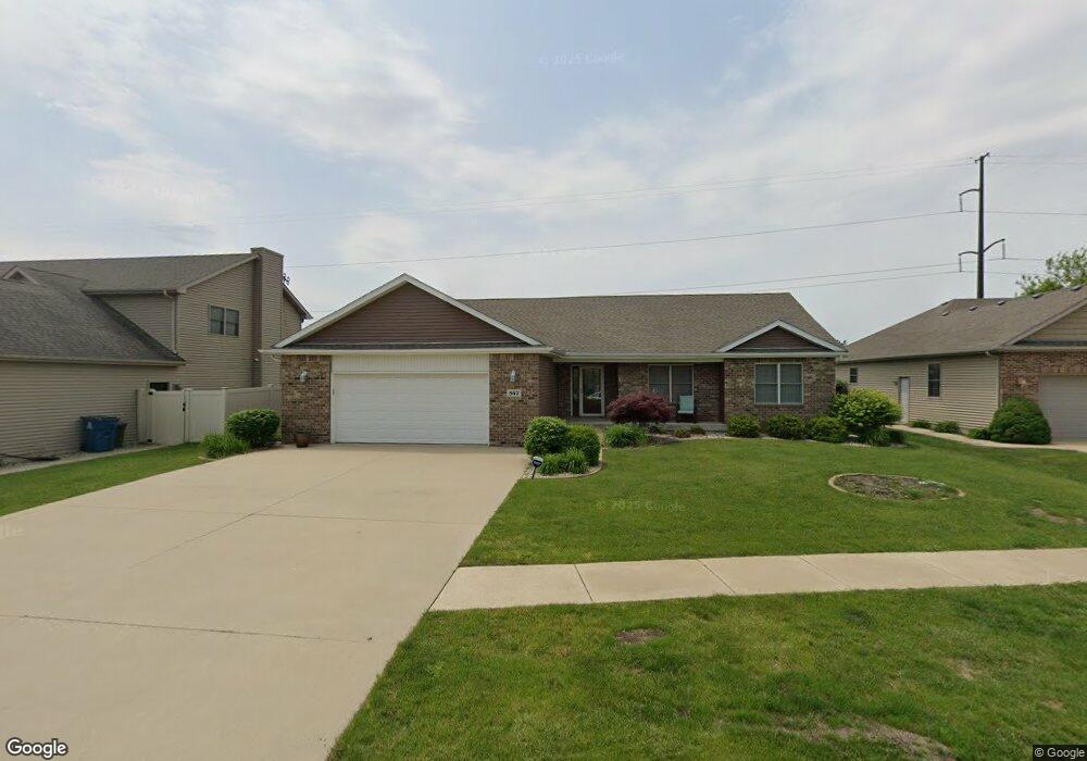
547 Highpoint Cir N Bourbonnais, IL 60914
Estimated Value: $347,000 - $383,000
About This Home
This home is located at 547 Highpoint Cir N, Bourbonnais, IL 60914 and is currently estimated at $359,760, approximately $211 per square foot. 547 Highpoint Cir N is a home located in Kankakee County with nearby schools including Noel Levasseur Elementary School, Liberty Intermediate School, and Bourbonnais Upper Grade Center.
Ownership History
We collect this data history from publicly available records. To have your information removed, we recommend requesting removal directly through your county’s website.
Purchase Details
Home Financials for this Owner
Home Financials are based on the most recent Mortgage that was taken out on this home.Purchase Details
Home Values in the Area
Average Home Value in this Area
Purchase History
We collect this data history from publicly available records. To have your information removed, we recommend requesting removal directly through your county’s website.
| Date | Buyer | Sale Price | Title Company |
|---|---|---|---|
| $310,000 | Kankakee County Title | ||
| -- | Standard Title |
Mortgage History
We collect this data history from publicly available records. To have your information removed, we recommend requesting removal directly through your county’s website.
| Date | Status | Borrower | Loan Amount |
|---|---|---|---|
| Open | $294,500 |
Tax History
We collect this data history from publicly available records. To have your information removed, we recommend requesting removal directly through your county’s website.
| Year | Tax Paid | Tax Assessment Tax Assessment Total Assessment is a certain percentage of the fair market value that is determined by local assessors to be the total taxable value of land and additions on the property. | Land | Improvement |
|---|---|---|---|---|
| 2025 | $7,907 | $109,458 | $12,752 | $96,706 |
| 2024 | $7,907 | $101,473 | $12,030 | $89,443 |
| 2023 | $7,037 | $91,545 | $11,139 | $80,406 |
| 2022 | $6,617 | $83,185 | $10,736 | $72,449 |
| 2021 | $6,379 | $79,966 | $10,500 | $69,466 |
| 2020 | $6,318 | $77,826 | $10,219 | $67,607 |
| 2019 | $6,183 | $75,559 | $9,921 | $65,638 |
| 2018 | $5,935 | $72,558 | $9,774 | $62,784 |
| 2017 | $5,816 | $70,789 | $9,536 | $61,253 |
| 2016 | $5,871 | $69,145 | $9,395 | $59,750 |
| 2015 | $6,071 | $66,921 | $9,302 | $57,619 |
| 2014 | $5,830 | $66,921 | $9,302 | $57,619 |
| 2013 | -- | $68,974 | $9,302 | $59,672 |
Map
- 1515 Eagle Bluff Dr
- 645 Kathy Dr
- 1435 Patriot Way
- 172 Anita Dr
- 52 Emery Dr
- 1995 Craftsman Ave
- 1947 Flagstone Ave
- 5659 N 1000 West Rd
- 855 Magnolia Dr
- 1602 Sun Ridge Dr
- 0 Merlot Blanc Ct
- 5066 N Pin Oak Turn
- 3 Duncan Dr
- 28 Jordan Dr
- 11 Saint George
- 855 Stonewall Dr
- 3627 Toulouse
- 8 Berry Ln
- 357 Princeton Ave
- 1 Apple Ln
- 555 Highpoint Cir N
- 539 Highpoint Cir N
- 529 Highpoint Cir N
- 565 Highpoint Cir N
- 1620 Eagle Bluff Dr
- 542 Highpoint Cir N
- 1630 Eagle Bluff Dr
- 556 Highpoint Cir N
- 528 Highpoint Cir N
- 1640 Eagle Bluff Dr
- 575 Highpoint Cir N
- 570 Highpoint Cir N
- 1600 Eagle Bluff Dr
- 514 Highpoint Cir N
- 1650 Eagle Bluff Dr
- 513 Highpoint Cir N
- Lot 140 School Dr
- 590 Highpoint Cir N
- 396 Centerpoint Dr S
- 390 Centerpoint Dr S
Ask me questions while you tour the home.