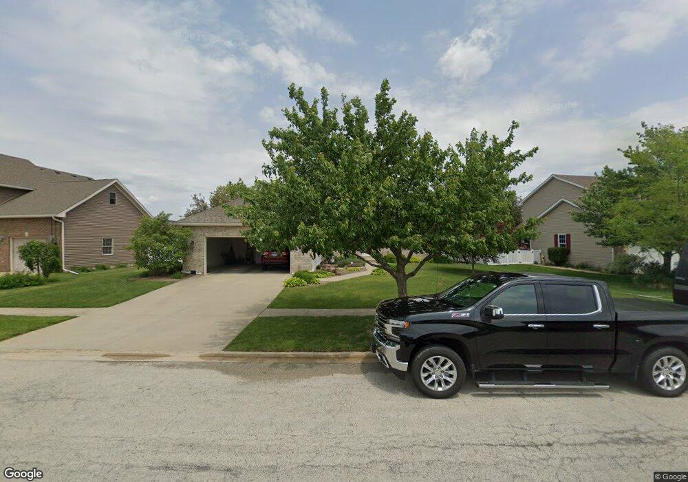
556 Highpoint Cir N Bourbonnais, IL 60914
Bourbonnais AreaEstimated Value: $343,000 - $416,000
About This Home
This home is located at 556 Highpoint Cir N, Bourbonnais, IL 60914 and is currently estimated at $368,520, approximately $210 per square foot. 556 Highpoint Cir N is a home located in Kankakee County with nearby schools including Noel Levasseur Elementary School, Liberty Intermediate School, and Bourbonnais Upper Grade Center.
Ownership History
We collect this data history from publicly available records. To have your information removed, we recommend requesting removal directly through your county’s website.
Purchase Details
Home Values in the Area
Average Home Value in this Area
Purchase History
We collect this data history from publicly available records. To have your information removed, we recommend requesting removal directly through your county’s website.
| Date | Buyer | Sale Price | Title Company |
|---|---|---|---|
| $235,500 | Standard Title |
Tax History
We collect this data history from publicly available records. To have your information removed, we recommend requesting removal directly through your county’s website.
| Year | Tax Paid | Tax Assessment Tax Assessment Total Assessment is a certain percentage of the fair market value that is determined by local assessors to be the total taxable value of land and additions on the property. | Land | Improvement |
|---|---|---|---|---|
| 2025 | $7,583 | $110,632 | $12,752 | $97,880 |
| 2024 | $7,583 | $102,559 | $12,030 | $90,529 |
| 2023 | $6,706 | $92,521 | $11,139 | $81,382 |
| 2022 | $6,226 | $83,630 | $10,736 | $72,894 |
| 2021 | $5,985 | $80,392 | $10,500 | $69,892 |
| 2020 | $5,914 | $78,240 | $10,219 | $68,021 |
| 2019 | $5,775 | $75,961 | $9,921 | $66,040 |
| 2018 | $5,523 | $72,943 | $9,774 | $63,169 |
| 2017 | $5,849 | $71,164 | $9,536 | $61,628 |
| 2016 | $5,689 | $69,511 | $9,395 | $60,116 |
| 2015 | $5,671 | $68,514 | $9,302 | $59,212 |
| 2014 | $5,499 | $69,124 | $9,302 | $59,822 |
| 2013 | -- | $70,732 | $9,302 | $61,430 |
Map
- 1515 Eagle Bluff Dr
- 250 Highpoint Cir S
- 1435 Patriot Way
- 172 Anita Dr
- 260 Karen Dr
- 52 Emery Dr
- 1324 Eagle Bluff Dr
- 1995 Craftsman Ave
- 1947 Flagstone Ave
- 840 Pheasant Run
- 2035 Brook Stone Dr
- 5659 N 1000 West Rd
- 2090 Summerfield Ln
- 0 Merlot Blanc Ct
- 5066 N Pin Oak Turn
- 3 Duncan Dr
- 1573 Stefanie Ln
- 28 Jordan Dr
- 22 Jordan Dr
- 480 W Bethel Dr
- 555 Highpoint Cir N
- 547 Highpoint Cir N
- 565 Highpoint Cir N
- 539 Highpoint Cir N
- 575 Highpoint Cir N
- 1620 Eagle Bluff Dr
- 542 Highpoint Cir N
- 529 Highpoint Cir N
- 1600 Eagle Bluff Dr
- 570 Highpoint Cir N
- 1630 Eagle Bluff Dr
- 528 Highpoint Cir N
- 465 Halfway Rd
- 590 Highpoint Cir N
- 1640 Eagle Bluff Dr
- 1590 Eagle Bluff Dr
- 514 Highpoint Cir N
- 390 Centerpoint Dr S
- 1580 Eagle Bluff Dr
- 1650 Eagle Bluff Dr
Ask me questions while you tour the home.