Estimated Value: $417,000 - $555,000
Studio
--
Bath
1,786
Sq Ft
$280/Sq Ft
Est. Value
About This Home
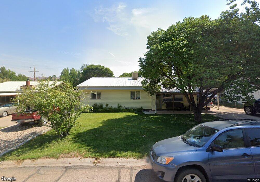
This home is located at 547 Huntridge Dr, Moab, UT 84532 and is currently estimated at $500,812, approximately $280 per square foot. 547 Huntridge Dr is a home with nearby schools including Helen M. Knight School, Grand County Middle School, and Grand County High School.
Ownership History
Date
Name
Owned For
Owner Type
Purchase Details
Closed on
Apr 3, 2013
Sold by
Mccandless Ryan R and Mccandless Melodie J
Bought by
Mccandless Ryan R and Mccandless Melodie J
Current Estimated Value
Home Financials for this Owner
Home Financials are based on the most recent Mortgage that was taken out on this home.
Original Mortgage
$190,000
Outstanding Balance
$37,739
Interest Rate
3.51%
Mortgage Type
New Conventional
Estimated Equity
$463,073
Purchase Details
Closed on
Feb 15, 2008
Sold by
Mele Melodie J
Bought by
Mccandless Ryan R and Mccandless Melodie J
Home Financials for this Owner
Home Financials are based on the most recent Mortgage that was taken out on this home.
Original Mortgage
$200,000
Interest Rate
5.85%
Mortgage Type
New Conventional
Create a Home Valuation Report for This Property
The Home Valuation Report is an in-depth analysis detailing your home's value as well as a comparison with similar homes in the area
Home Values in the Area
Average Home Value in this Area
Purchase History
| Date | Buyer | Sale Price | Title Company |
|---|---|---|---|
| Mccandless Ryan R | -- | South Eastern Utah Title Com | |
| Mccandless Ryan R | -- | -- |
Source: Public Records
Mortgage History
| Date | Status | Borrower | Loan Amount |
|---|---|---|---|
| Open | Mccandless Ryan R | $190,000 | |
| Previous Owner | Mccandless Ryan R | $200,000 |
Source: Public Records
Tax History
| Year | Tax Paid | Tax Assessment Tax Assessment Total Assessment is a certain percentage of the fair market value that is determined by local assessors to be the total taxable value of land and additions on the property. | Land | Improvement |
|---|---|---|---|---|
| 2025 | $3,115 | $537,291 | $90,000 | $447,291 |
| 2024 | $3,115 | $537,291 | $90,000 | $447,291 |
| 2023 | $3,215 | $478,949 | $90,000 | $388,949 |
| 2022 | $2,411 | $452,620 | $75,000 | $377,620 |
| 2021 | $1,308 | $219,063 | $85,000 | $134,063 |
| 2020 | $1,356 | $219,063 | $85,000 | $134,063 |
| 2019 | $1,280 | $219,063 | $85,000 | $134,063 |
| 2018 | $1,269 | $219,063 | $85,000 | $134,063 |
| 2017 | $1,314 | $0 | $0 | $0 |
| 2016 | $1,301 | $0 | $0 | $0 |
| 2015 | $1,020 | $0 | $0 | $0 |
| 2014 | $982 | $0 | $0 | $0 |
| 2013 | $983 | $95,043 | $0 | $0 |
Source: Public Records
Map
Nearby Homes
- 545 Kane Creek Blvd
- 766 Huntridge Dr
- 443 Kane Creek Blvd Unit 211
- 443 Kane Creek Blvd Unit 111
- 443 Kane Creek Blvd Unit 210
- 443 Kane Creek Blvd Unit 301
- 443 Kane Creek Blvd Unit 201
- 443 Kane Creek Blvd Unit A104
- 443 Kane Creek Blvd Unit 112
- 443 Kane Creek Blvd Unit B214
- 440 Mckay Place
- 855 David Ct Unit 34
- 396 W 200 S
- 214 S 200 E Unit 6
- 214 S 200 E Unit 7
- 214 S 200 E Unit 9
- 214 S 200 E Unit 4
- 214 S 200 E Unit 8
- 214 S 200 E Unit 1
- 214 S 200 E Unit 2
- 533 Huntridge Dr
- 561 Huntridge Dr
- 475 Huntridge Dr
- 2176 Navajo Cir
- 0 Navajo Cir
- 12 Navajo Cir
- 569 Huntridge Dr
- 127 Aspen Dr
- 522 Huntridge Dr
- 11 Navajo Cir
- 589 Huntridge Dr
- 6 Navajo Cir
- 209 Aspen Dr
- 584 Huntridge Dr
- 10 Navajo Cir
- 455 Huntridge Dr
- 605 Huntridge Dr
- 221 Aspen Dr
- 7 Navajo Cir
- 460 Huntridge Dr
Your Personal Tour Guide
Ask me questions while you tour the home.