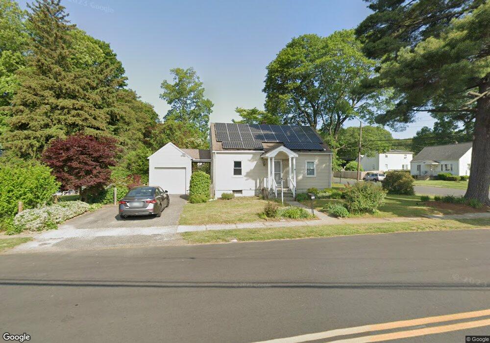
547 Jennings Ave Bridgeport, CT 06610
North Bridgeport NeighborhoodEstimated Value: $343,837 - $373,000
3
Beds
2
Baths
1,267
Sq Ft
$283/Sq Ft
Est. Value
About This Home
This home is located at 547 Jennings Ave, Bridgeport, CT 06610 and is currently estimated at $358,209, approximately $282 per square foot. 547 Jennings Ave is a home located in Fairfield County with nearby schools including Hooker School and Harding High School.
Ownership History
Date
Name
Owned For
Owner Type
Purchase Details
Closed on
Oct 6, 2003
Sold by
Corrigan Mary Ann
Bought by
Strazza Robert M and Ramos-Strazza Teresa
Current Estimated Value
Home Financials for this Owner
Home Financials are based on the most recent Mortgage that was taken out on this home.
Original Mortgage
$181,565
Interest Rate
6.25%
Create a Home Valuation Report for This Property
The Home Valuation Report is an in-depth analysis detailing your home's value as well as a comparison with similar homes in the area
Home Values in the Area
Average Home Value in this Area
Purchase History
| Date | Buyer | Sale Price | Title Company |
|---|---|---|---|
| Strazza Robert M | $183,000 | -- | |
| Strazza Robert M | $183,000 | -- |
Source: Public Records
Mortgage History
| Date | Status | Borrower | Loan Amount |
|---|---|---|---|
| Open | Strazza Robert M | $159,742 | |
| Closed | Strazza Robert M | $181,565 |
Source: Public Records
Tax History Compared to Growth
Tax History
| Year | Tax Paid | Tax Assessment Tax Assessment Total Assessment is a certain percentage of the fair market value that is determined by local assessors to be the total taxable value of land and additions on the property. | Land | Improvement |
|---|---|---|---|---|
| 2025 | $5,813 | $133,790 | $65,510 | $68,280 |
| 2024 | $5,813 | $133,790 | $65,510 | $68,280 |
| 2023 | $5,813 | $133,790 | $65,510 | $68,280 |
| 2022 | $5,813 | $133,790 | $65,510 | $68,280 |
| 2021 | $5,813 | $133,790 | $65,510 | $68,280 |
| 2020 | $6,061 | $112,270 | $53,730 | $58,540 |
| 2019 | $6,061 | $112,270 | $53,730 | $58,540 |
| 2018 | $6,104 | $112,270 | $53,730 | $58,540 |
| 2017 | $6,104 | $112,270 | $53,730 | $58,540 |
| 2016 | $6,104 | $112,270 | $53,730 | $58,540 |
| 2015 | $5,841 | $138,420 | $52,510 | $85,910 |
| 2014 | $5,841 | $138,420 | $52,510 | $85,910 |
Source: Public Records
Map
Nearby Homes
- 123 Beverly Dr
- 53 Beverly Dr
- 69 Glen Cir
- 374 Mapledale Place
- 275 Roger Williams Rd
- 50 Pilgrim Rd
- 165 Nutmeg Rd
- 206 Huntington Turnpike
- 197 Dupont Place Unit 199
- 250 Dayton Rd
- 217 Hillcrest Rd
- 120 Huntington Turnpike Unit 202
- 120 Huntington Turnpike Unit 606
- 120 Huntington Turnpike Unit 801
- 227 Sylvan St
- 16 Oakdale St
- 49 Soundview Ave
- 32 Marshall Ave
- 11 Knollcrest Dr
- 132 Virginia Ave Unit 132
- 166 Rosewood Place
- 150 Rosewood Place
- 204 Rosewood Place
- 515 Jennings Ave
- 157 Kensington Place
- 218 Rosewood Place
- 181 Rosewood Place
- 167 Rosewood Place
- 2 Glenbrook Rd
- 272 Rosewood Place
- 584 Jennings Ave
- 169 Kensington Place
- 130 Rosewood Place
- 16 Beverly Dr
- 230 Rosewood Place
- 215 Rosewood Place
- 227 Rosewood Place
- 181 Kensington Place
- 131 Rosewood Place
- 80 Beverly Dr