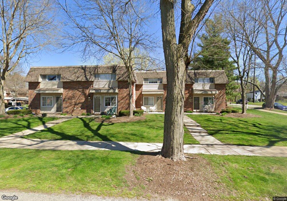
547 Longshore Dr Unit B Ann Arbor, MI 48105
Northside NeighborhoodEstimated Value: $276,000 - $290,000
2
Beds
1
Bath
800
Sq Ft
$353/Sq Ft
Est. Value
About This Home
This home is located at 547 Longshore Dr Unit B, Ann Arbor, MI 48105 and is currently estimated at $282,586, approximately $353 per square foot. 547 Longshore Dr Unit B is a home located in Washtenaw County with nearby schools including Ann Arbor STEAM at Northside, Clague Middle School, and Skyline High School.
Ownership History
Date
Name
Owned For
Owner Type
Purchase Details
Closed on
Sep 13, 2018
Sold by
Lam Alice
Bought by
Thomas Scott
Current Estimated Value
Home Financials for this Owner
Home Financials are based on the most recent Mortgage that was taken out on this home.
Original Mortgage
$131,800
Interest Rate
4.5%
Mortgage Type
New Conventional
Purchase Details
Closed on
May 18, 2004
Sold by
Cubba Stephen P and Cubba Kara P
Bought by
Lam Alice
Home Financials for this Owner
Home Financials are based on the most recent Mortgage that was taken out on this home.
Original Mortgage
$110,800
Interest Rate
5.85%
Mortgage Type
Purchase Money Mortgage
Purchase Details
Closed on
Jan 5, 2001
Sold by
Huntcliff Associates Llc
Bought by
Cubba Stephan P
Purchase Details
Closed on
Dec 8, 2000
Sold by
Crossings Of Ann Arbor L
Bought by
Huntcliff Associates L L C
Create a Home Valuation Report for This Property
The Home Valuation Report is an in-depth analysis detailing your home's value as well as a comparison with similar homes in the area
Home Values in the Area
Average Home Value in this Area
Purchase History
| Date | Buyer | Sale Price | Title Company |
|---|---|---|---|
| Thomas Scott | $203,500 | Ata National Title Group Llc | |
| Lam Alice | $138,500 | Lib | |
| Cubba Stephan P | -- | -- | |
| Huntcliff Associates L L C | $65,990 | -- |
Source: Public Records
Mortgage History
| Date | Status | Borrower | Loan Amount |
|---|---|---|---|
| Open | Thomas Scott | $161,825 | |
| Closed | Thomas Scott | $161,825 | |
| Closed | Thomas Scott | $131,800 | |
| Previous Owner | Lam Alice | $110,800 |
Source: Public Records
Tax History Compared to Growth
Tax History
| Year | Tax Paid | Tax Assessment Tax Assessment Total Assessment is a certain percentage of the fair market value that is determined by local assessors to be the total taxable value of land and additions on the property. | Land | Improvement |
|---|---|---|---|---|
| 2025 | $4,717 | $109,300 | $0 | $0 |
| 2024 | $4,392 | $107,300 | $0 | $0 |
| 2023 | $4,050 | $102,400 | $0 | $0 |
| 2022 | $4,413 | $97,600 | $0 | $0 |
| 2021 | $4,309 | $93,200 | $0 | $0 |
| 2020 | $4,222 | $91,300 | $0 | $0 |
| 2019 | $4,018 | $81,300 | $81,300 | $0 |
| 2018 | $2,871 | $76,200 | $0 | $0 |
| 2017 | $3,110 | $65,100 | $0 | $0 |
| 2016 | $3,030 | $48,979 | $0 | $0 |
| 2015 | $2,906 | $48,833 | $0 | $0 |
| 2014 | $2,906 | $47,308 | $0 | $0 |
| 2013 | -- | $47,308 | $0 | $0 |
Source: Public Records
Map
Nearby Homes
- 519 Longshore Dr Unit A
- 1136 Longshore Dr Unit 1
- 1128 Longshore Dr Unit 2
- 408 Longshore Dr Unit A
- 408 Longshore Dr Unit C
- 207 Sunset Rd
- 209 Sunset Rd
- 718 Indianola Ave
- 651 N 5th Ave
- 530 N Division St Unit D
- 530 N Division St Unit C
- 530 N Division St Unit A
- 530 N Division St Unit B
- 118 W Summit St
- 610 N 5th Ave
- 1050 Wall St Unit 5D
- 1050 Wall St Unit 8D
- 1050 Wall St Unit 5A
- 1050 Wall St Unit 2E
- 1050 Wall St Unit 2C
- 547 Longshore Dr Unit B
- 547 Longshore Dr Unit A
- 547 Longshore Dr
- 547 Longshore Dr Unit 6
- 0 Longshore Drive #B Unit 3259001
- 547 Longshore Dr Apt A Dr
- 545 Longshore Dr Unit A
- 545 Longshore Dr Unit B
- 545 Longshore Dr
- 541b Longshore Dr Unit 5
- 547 Longshore Drive #B
- 541 Longshore Unit B Dr
- 553 Longshore Dr Unit 11
- 553 Longshore Dr Unit A
- 553 Longshore Dr Unit B
- 553 Longshore Dr
- 541 Longshore Dr Unit B DR
- 541 Longshore Dr Unit B
- 541 Longshore Dr Unit A
- 541 Longshore Dr Unit : B