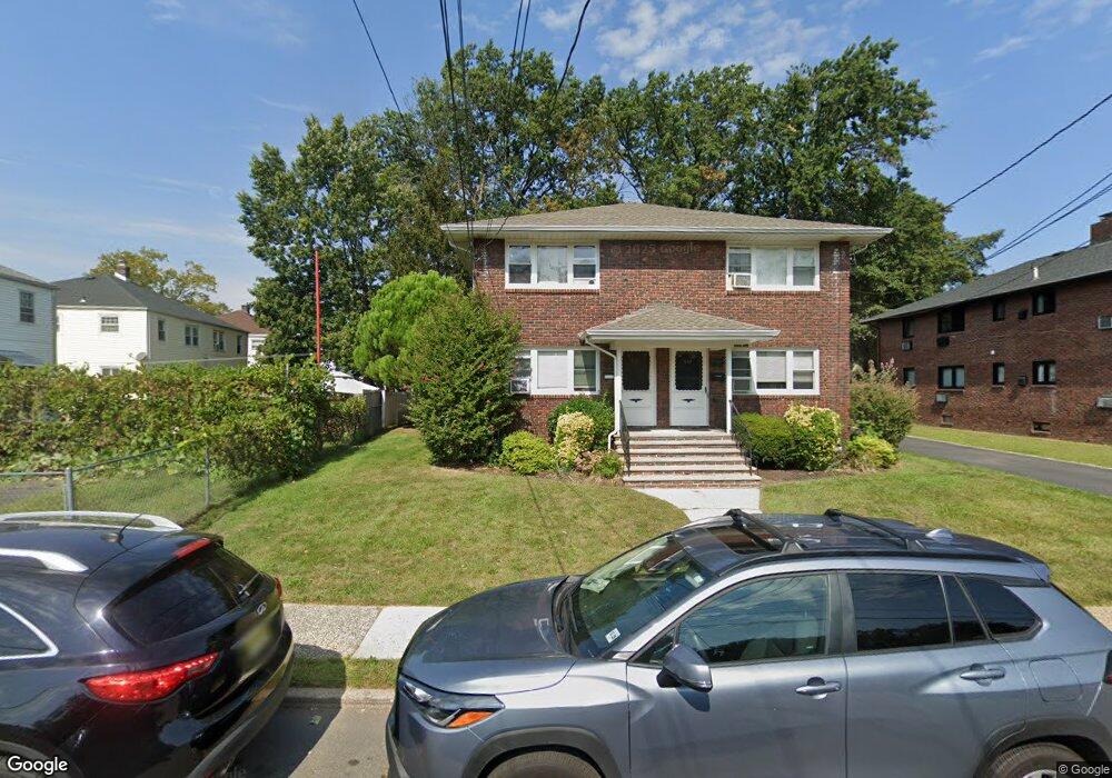
547 Newman Place Unit 549 Roselle, NJ 07203
Estimated Value: $577,000 - $906,000
--
Bed
--
Bath
3,712
Sq Ft
$208/Sq Ft
Est. Value
About This Home
This home is located at 547 Newman Place Unit 549, Roselle, NJ 07203 and is currently estimated at $770,376, approximately $207 per square foot. 547 Newman Place Unit 549 is a home located in Union County with nearby schools including Dr Charles C Polk School, Leonard V. Moore Middle School, and Grace Wilday Junior High School.
Ownership History
Date
Name
Owned For
Owner Type
Purchase Details
Closed on
Nov 17, 2014
Sold by
Merces Eugenia
Bought by
Sg Homes Llc
Current Estimated Value
Home Financials for this Owner
Home Financials are based on the most recent Mortgage that was taken out on this home.
Original Mortgage
$247,000
Outstanding Balance
$84,016
Interest Rate
4%
Mortgage Type
Unknown
Estimated Equity
$686,360
Purchase Details
Closed on
Oct 16, 2007
Sold by
Pombal Builders Llc
Bought by
Pombal Builders Llc
Create a Home Valuation Report for This Property
The Home Valuation Report is an in-depth analysis detailing your home's value as well as a comparison with similar homes in the area
Home Values in the Area
Average Home Value in this Area
Purchase History
| Date | Buyer | Sale Price | Title Company |
|---|---|---|---|
| Sg Homes Llc | $330,000 | Berkshire Abstract & Title | |
| Pombal Builders Llc | -- | None Available |
Source: Public Records
Mortgage History
| Date | Status | Borrower | Loan Amount |
|---|---|---|---|
| Open | Sg Homes Llc | $247,000 |
Source: Public Records
Tax History Compared to Growth
Tax History
| Year | Tax Paid | Tax Assessment Tax Assessment Total Assessment is a certain percentage of the fair market value that is determined by local assessors to be the total taxable value of land and additions on the property. | Land | Improvement |
|---|---|---|---|---|
| 2025 | $18,033 | $207,400 | $54,600 | $152,800 |
| 2024 | $17,581 | $207,400 | $54,600 | $152,800 |
| 2023 | $17,581 | $207,400 | $54,600 | $152,800 |
| 2022 | $17,704 | $207,400 | $54,600 | $152,800 |
| 2021 | $17,598 | $207,400 | $54,600 | $152,800 |
| 2020 | $17,542 | $207,400 | $54,600 | $152,800 |
| 2019 | $17,318 | $207,400 | $54,600 | $152,800 |
| 2018 | $17,223 | $207,400 | $54,600 | $152,800 |
| 2017 | $17,131 | $207,400 | $54,600 | $152,800 |
| 2016 | $16,754 | $207,400 | $54,600 | $152,800 |
| 2015 | $16,752 | $207,400 | $54,600 | $152,800 |
| 2014 | -- | $207,400 | $54,600 | $152,800 |
Source: Public Records
Map
Nearby Homes
- 1107 Drake Ave
- 930 Drake Ave
- 916 Harrison Ave
- 13 Carolyn Terrace Unit A
- 1005 Nora Dr
- 407 E 10th Ave
- 410 Morris Place
- 31 Carolynn Rd
- 1115 Frank St
- 1121 Frank St
- 1206 Morris St
- 1112 Morris St
- 1120 Morris St
- 606 Sheridan Ave
- 395 E 9th Ave
- 1715 Dill Ave
- 387 E 9th Ave
- 423 Bernard Ave
- 1202 Warren St
- 1204 Warren St
- 547-549 Newman Place
- 553 Newman Place Unit 1
- 553 Newman Place Unit 2
- 553 Newman Place Unit 555
- 555 Newman Place
- 1031 Sheridan Ave
- 1027 Sheridan Ave
- 1027 Sheridan Ave Unit D
- 553-555 Newman Place
- 1023 Sheridan Ave
- 1028 Thompson Ave
- 1034 Thompson Ave
- 1024 Thompson Ave
- 1032 Thompson Ave
- 1036 Thompson Ave
- 1103 Sheridan Ave
- 1019 Sheridan Ave
- 1038 Thompson Ave
- 1020 Thompson Ave
- 548 Newman Place Unit 550