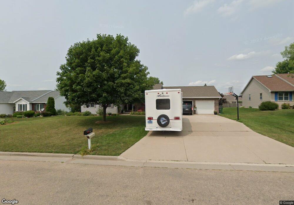
547 Nicole Ln Wrightstown, WI 54180
Estimated Value: $348,952 - $419,000
--
Bed
--
Bath
--
Sq Ft
0.29
Acres
About This Home
This home is located at 547 Nicole Ln, Wrightstown, WI 54180 and is currently estimated at $389,488. 547 Nicole Ln is a home located in Brown County with nearby schools including Wrightstown Elementary School, Wrightstown Middle School, and Wrightstown High School.
Ownership History
Date
Name
Owned For
Owner Type
Purchase Details
Closed on
Jun 26, 2014
Sold by
Binsfeld Matthew C and Binsfeld Jennifer M
Bought by
Delsart Molly Jean
Current Estimated Value
Home Financials for this Owner
Home Financials are based on the most recent Mortgage that was taken out on this home.
Original Mortgage
$129,900
Outstanding Balance
$95,463
Interest Rate
3.25%
Mortgage Type
Adjustable Rate Mortgage/ARM
Estimated Equity
$294,025
Purchase Details
Closed on
Apr 25, 2001
Sold by
The Wright Group Llp
Bought by
Binsfeld Matthew C and Hopfensperger Jennifer M
Create a Home Valuation Report for This Property
The Home Valuation Report is an in-depth analysis detailing your home's value as well as a comparison with similar homes in the area
Home Values in the Area
Average Home Value in this Area
Purchase History
| Date | Buyer | Sale Price | Title Company |
|---|---|---|---|
| Delsart Molly Jean | $169,900 | None Available | |
| Binsfeld Matthew C | $22,900 | Evans Title |
Source: Public Records
Mortgage History
| Date | Status | Borrower | Loan Amount |
|---|---|---|---|
| Open | Delsart Molly Jean | $129,900 |
Source: Public Records
Tax History Compared to Growth
Tax History
| Year | Tax Paid | Tax Assessment Tax Assessment Total Assessment is a certain percentage of the fair market value that is determined by local assessors to be the total taxable value of land and additions on the property. | Land | Improvement |
|---|---|---|---|---|
| 2024 | $4,210 | $301,400 | $43,100 | $258,300 |
| 2023 | $4,556 | $301,400 | $43,100 | $258,300 |
| 2022 | $4,442 | $192,000 | $32,300 | $159,700 |
| 2021 | $4,294 | $192,000 | $32,300 | $159,700 |
| 2020 | $4,211 | $192,000 | $32,300 | $159,700 |
| 2019 | $3,966 | $192,000 | $32,300 | $159,700 |
| 2018 | $3,714 | $192,000 | $32,300 | $159,700 |
| 2017 | $3,461 | $170,500 | $25,200 | $145,300 |
| 2016 | $3,603 | $170,500 | $25,200 | $145,300 |
| 2015 | $3,739 | $170,500 | $25,200 | $145,300 |
| 2014 | $3,019 | $145,500 | $25,200 | $120,300 |
| 2013 | $3,019 | $145,500 | $25,200 | $120,300 |
Source: Public Records
Map
Nearby Homes
- 544 Nicole Ln
- 552 Songbird Ave
- 217 Patricia Ln
- 75 Washington St
- 0 Plum Rd
- 27 Golden Wheat Ln
- 4275 Lost Dauphin Rd
- 4351 Lost Dauphin Rd
- 4251 Lost Dauphin Rd
- 4225 Lost Dauphin Rd
- 814 Main St
- 167 Fox Shores Dr
- 4079 Lost Dauphin Rd
- 4406 Rosin Rd
- 0 Legacy Ln
- 3979 Lost Dauphin Rd
- 3829 Lost Dauphin Rd
- 107 Beckerae Ct
- 110 Beckerae Ct
- 278 Kerrigan Dr
- 551 Nicole Ln
- 543 Nicole Ln
- 544 Fieldcrest Ave
- 548 Fieldcrest Ave
- 540 Fieldcrest Ave
- 555 Nicole Ln
- 552 Fieldcrest Ave
- 548 Nicole Ln
- 540 Nicole Ln
- 554 Nicole Ln
- 420 Longwood Ln
- 416 Longwood Ln
- 547 Fieldcrest Ave
- 412 Longwood Ln
- 543 Fieldcrest Ave
- 551 Fieldcrest Ave
- 547 Songbird Ave
- 307 Songbird Ave
- 543 Songbird Ave
- 551 Songbird Ave