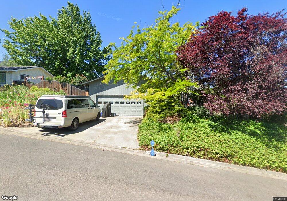
547 Phelps St Ashland, OR 97520
Cottage District NeighborhoodEstimated Value: $447,165 - $524,000
3
Beds
2
Baths
1,165
Sq Ft
$403/Sq Ft
Est. Value
About This Home
This home is located at 547 Phelps St, Ashland, OR 97520 and is currently estimated at $469,041, approximately $402 per square foot. 547 Phelps St is a home located in Jackson County with nearby schools including Walker Elementary School, Ashland Middle School, and Ashland High School.
Ownership History
Date
Name
Owned For
Owner Type
Purchase Details
Closed on
Mar 8, 2011
Sold by
Garcia Cara L
Bought by
Long Brian Patrick
Current Estimated Value
Home Financials for this Owner
Home Financials are based on the most recent Mortgage that was taken out on this home.
Original Mortgage
$244,041
Outstanding Balance
$167,364
Interest Rate
4.75%
Mortgage Type
New Conventional
Estimated Equity
$301,677
Purchase Details
Closed on
Jun 15, 2009
Sold by
Jones Barbara Jayne
Bought by
Jones Barbara Jayne and Barbara Jayne Jones Trust
Purchase Details
Closed on
Mar 1, 2003
Sold by
Garcia Cara L
Bought by
Garcia Cara L and Trust Of Cara L Garcia
Create a Home Valuation Report for This Property
The Home Valuation Report is an in-depth analysis detailing your home's value as well as a comparison with similar homes in the area
Home Values in the Area
Average Home Value in this Area
Purchase History
| Date | Buyer | Sale Price | Title Company |
|---|---|---|---|
| Long Brian Patrick | $235,500 | Amerititle | |
| Jones Barbara Jayne | -- | None Available | |
| Garcia Cara L | -- | -- |
Source: Public Records
Mortgage History
| Date | Status | Borrower | Loan Amount |
|---|---|---|---|
| Open | Long Brian Patrick | $244,041 |
Source: Public Records
Tax History Compared to Growth
Tax History
| Year | Tax Paid | Tax Assessment Tax Assessment Total Assessment is a certain percentage of the fair market value that is determined by local assessors to be the total taxable value of land and additions on the property. | Land | Improvement |
|---|---|---|---|---|
| 2025 | $3,599 | $232,110 | $112,720 | $119,390 |
| 2024 | $3,599 | $225,350 | $109,440 | $115,910 |
| 2023 | $3,481 | $218,790 | $106,260 | $112,530 |
| 2022 | $3,370 | $218,790 | $106,260 | $112,530 |
| 2021 | $3,255 | $212,420 | $103,170 | $109,250 |
| 2020 | $3,164 | $206,240 | $100,170 | $106,070 |
| 2019 | $3,114 | $194,410 | $94,430 | $99,980 |
| 2018 | $2,942 | $188,750 | $91,680 | $97,070 |
| 2017 | $2,920 | $188,750 | $91,680 | $97,070 |
| 2016 | $2,844 | $177,930 | $86,430 | $91,500 |
| 2015 | $2,734 | $177,930 | $86,430 | $91,500 |
| 2014 | $2,646 | $167,720 | $81,470 | $86,250 |
Source: Public Records
Map
Nearby Homes
- 401 Clinton St
- 403 Briscoe Place
- 419 Clinton St
- 500 Poplar Place
- 453 Williamson Way
- 224 Alicia St
- 533 N Mountain Ave
- 496 Starflower Ln
- 767 Oak St
- 411 N Mountain Ave
- 380 Hemlock Ln
- 520 Helman St
- 817 N Mountain Ave Unit 3
- 820 Satsuma Ct Unit 6
- 597 Mariposa Ct Unit 14
- 237 B St
- 586 B St
- 815 Creek Stone Way
- 833 Cobblestone Ct
- 292 B St
- 557 Phelps St
- 537 Phelps St
- 319 Patterson St
- 309 Patterson St
- 328 Clinton St
- 560 Phelps St
- 343 Patterson St
- 316 Clinton St
- 350 Clinton St
- 299 Patterson St
- 304 Clinton St
- 374 Clinton St
- 316 Patterson St
- 308 Patterson St
- 350 Patterson St
- 350 Phelps St
- 558 Carol St
- 544 Carol St
- 384 Clinton St
- 289 Patterson St