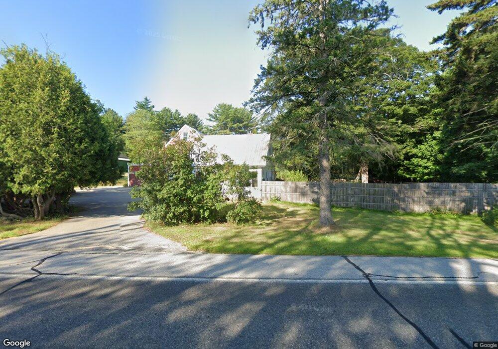
547 Portland Rd Bridgton, ME 04009
Estimated Value: $331,656
--
Bed
--
Bath
1,819
Sq Ft
$182/Sq Ft
Est. Value
About This Home
This home is located at 547 Portland Rd, Bridgton, ME 04009 and is currently priced at $331,656, approximately $182 per square foot. 547 Portland Rd is a home located in Cumberland County with nearby schools including Lake Region High School.
Ownership History
Date
Name
Owned For
Owner Type
Purchase Details
Closed on
Feb 12, 2007
Sold by
Corcoran Michael and Corcoran Marla S
Bought by
Orlandella Antonietta
Current Estimated Value
Home Financials for this Owner
Home Financials are based on the most recent Mortgage that was taken out on this home.
Original Mortgage
$132,000
Outstanding Balance
$79,326
Interest Rate
6.22%
Mortgage Type
Purchase Money Mortgage
Create a Home Valuation Report for This Property
The Home Valuation Report is an in-depth analysis detailing your home's value as well as a comparison with similar homes in the area
Home Values in the Area
Average Home Value in this Area
Purchase History
| Date | Buyer | Sale Price | Title Company |
|---|---|---|---|
| Orlandella Antonietta | -- | -- |
Source: Public Records
Mortgage History
| Date | Status | Borrower | Loan Amount |
|---|---|---|---|
| Open | Orlandella Antonietta | $132,000 |
Source: Public Records
Tax History Compared to Growth
Tax History
| Year | Tax Paid | Tax Assessment Tax Assessment Total Assessment is a certain percentage of the fair market value that is determined by local assessors to be the total taxable value of land and additions on the property. | Land | Improvement |
|---|---|---|---|---|
| 2024 | $2,938 | $172,306 | $59,080 | $113,226 |
| 2023 | $2,964 | $172,306 | $59,080 | $113,226 |
| 2022 | $2,619 | $172,306 | $59,080 | $113,226 |
| 2021 | $2,550 | $172,306 | $59,080 | $113,226 |
| 2020 | $2,576 | $172,306 | $59,080 | $113,226 |
| 2019 | $2,585 | $172,306 | $59,080 | $113,226 |
| 2018 | $2,550 | $172,306 | $59,080 | $113,226 |
| 2017 | $2,636 | $172,306 | $59,080 | $113,226 |
| 2016 | $2,559 | $172,306 | $59,080 | $113,226 |
| 2015 | $2,403 | $174,798 | $54,080 | $120,718 |
| 2014 | $2,458 | $174,798 | $54,080 | $120,718 |
Source: Public Records
Map
Nearby Homes
- 86 Beaver Creek Farm Rd
- 64-74 Portland Rd
- 323 Portland Rd
- 364 Kansas Rd
- 11 Camp Loop Ln
- Lot 3 Camp Woodlands Rd
- Lot 1 Camp Woodlands Rd
- Lot 8 Camp Loop Rd
- 236 Portland Rd Unit A
- 27 Stonehedge Dr
- Lot 7 Camp Loop Rd
- Lot 3 Wildwood Rd
- Lot 23 - D Smally Way
- 209 Portland Rd
- Lot 23 G Smally Way
- Lot 23 - F Smally Way
- 4 C St
- 3 A St
- 220 S High St
- 161 Swamp Rd
- 555 Portland Rd
- 566 Portland Rd
- 1 Beaver Creek Farm Rd
- 1 Beaver Creek Farm Rd
- 1 Beaver Creek Farm Rd
- 1 Beaver Creek Farm Rd
- 1 Beaver Creek Farm Rd
- Lot 1 Beaver Creek Farm
- 15 Beaver Creek Farm Rd
- Lot 13 Beaver Creek Farm
- 7 Beaver Creek Farm Rd
- Lot # 7 Beaver Creek Farm Rd
- 5 Beaver Creek Farm Rd
- Lot 3 Beaver Creek Farm Rd
- 534 Portland Rd
- 2 Hannah's
- 0 Hannah's Ridge - Lot 3
- 0 Hannah's Ridge - Lot 2
- 1 Hannah's
- Lot 12 Beaver Creek Farm