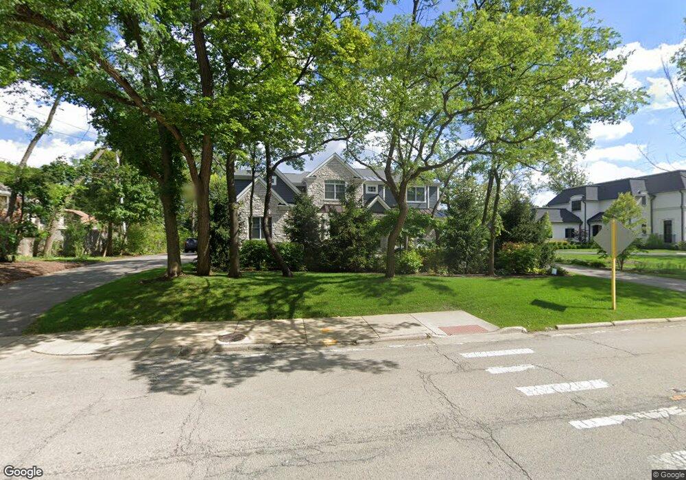
547 Sheridan Rd Highland Park, IL 60035
East Highland Park NeighborhoodEstimated Value: $1,660,000 - $2,097,203
4
Beds
6
Baths
4,604
Sq Ft
$403/Sq Ft
Est. Value
About This Home
This home is located at 547 Sheridan Rd, Highland Park, IL 60035 and is currently estimated at $1,857,051, approximately $403 per square foot. 547 Sheridan Rd is a home with nearby schools including Braeside Elementary School, Edgewood Middle School, and Highland Park High School.
Ownership History
Date
Name
Owned For
Owner Type
Purchase Details
Closed on
Dec 22, 2014
Sold by
Chicago Title Land Trust Company
Bought by
Brown David J and Brown Nicole A
Current Estimated Value
Home Financials for this Owner
Home Financials are based on the most recent Mortgage that was taken out on this home.
Original Mortgage
$1,200,000
Interest Rate
3.87%
Mortgage Type
Adjustable Rate Mortgage/ARM
Create a Home Valuation Report for This Property
The Home Valuation Report is an in-depth analysis detailing your home's value as well as a comparison with similar homes in the area
Home Values in the Area
Average Home Value in this Area
Purchase History
| Date | Buyer | Sale Price | Title Company |
|---|---|---|---|
| Brown David J | $600,000 | Chicago Title Land Trust Co |
Source: Public Records
Mortgage History
| Date | Status | Borrower | Loan Amount |
|---|---|---|---|
| Previous Owner | Brown David J | $1,200,000 |
Source: Public Records
Tax History Compared to Growth
Tax History
| Year | Tax Paid | Tax Assessment Tax Assessment Total Assessment is a certain percentage of the fair market value that is determined by local assessors to be the total taxable value of land and additions on the property. | Land | Improvement |
|---|---|---|---|---|
| 2024 | $40,854 | $525,536 | $137,070 | $388,466 |
| 2023 | $40,892 | $473,712 | $123,553 | $350,159 |
| 2022 | $40,892 | $460,094 | $135,730 | $324,364 |
| 2021 | $37,712 | $444,750 | $131,203 | $313,547 |
| 2020 | $36,491 | $444,750 | $131,203 | $313,547 |
| 2019 | $35,257 | $442,669 | $130,589 | $312,080 |
| 2018 | $34,093 | $453,480 | $145,433 | $308,047 |
| 2017 | $33,562 | $450,865 | $144,594 | $306,271 |
| 2016 | $10,530 | $137,656 | $137,656 | $0 |
| 2015 | $10,225 | $127,897 | $127,897 | $0 |
Source: Public Records
Map
Nearby Homes
- 625 Sheridan Rd
- 378 Oakland Dr
- 325 Lincolnwood Rd
- 732 Bronson Ln
- 855 Sheridan Rd
- 590 Rambler Ln
- 111 Sheridan Rd
- 277 Charal Ln
- 721 Marion Ave
- 600 Broadview Ave
- 333 Marshman Ave
- 867 Timber Hill Rd
- 186 S Deere Park Dr
- 566 Bellevue Place
- 847 Marion Ave
- 901 Stonegate Dr
- 32 Valley Rd
- 55 S Deere Park Dr
- 906 Pleasant Ave
- 19 Heritage Dr
- 521 Sheridan Rd
- 535 Sheridan Rd
- 188 Lakewood Place
- 200 Lakewood Place
- 178 Lakewood Place
- 527 Sheridan Rd
- 520 Sheridan Rd
- 550 Sheridan Rd
- 168 Lakewood Place
- 560 Sheridan Rd
- 156 Lakewood Place
- 248 Oakland Dr
- 230 Braeburn Rd
- 251 Oakland Dr
- 220 Braeburn Rd
- 576 Sheridan Rd
- 200 Braeburn Rd
- 508 Sheridan Rd
- 146 Lakewood Place
- 565 Lyman Ct