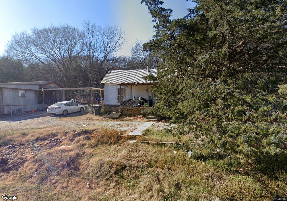
547 State Highway 53 Ardmore, OK 73401
Estimated Value: $66,400 - $216,000
2
Beds
1
Bath
832
Sq Ft
$151/Sq Ft
Est. Value
About This Home
This home is located at 547 State Highway 53, Ardmore, OK 73401 and is currently estimated at $125,600, approximately $150 per square foot. 547 State Highway 53 is a home with nearby schools including Dickson Elementary School, Dickson Upper Elementary School, and Dickson Middle School.
Ownership History
Date
Name
Owned For
Owner Type
Purchase Details
Closed on
Dec 2, 2004
Sold by
Fox Barbara A
Bought by
White Jack and White Donna
Current Estimated Value
Purchase Details
Closed on
Mar 14, 1998
Sold by
Owens Bill and Owens Pam
Bought by
Fox Barbara A
Purchase Details
Closed on
Aug 5, 1996
Sold by
Fox Barbara A
Bought by
Owens Bill and Owens Pam
Purchase Details
Closed on
Nov 22, 1995
Sold by
Fox Roy W and Fox Nellie J
Bought by
Fox Barbara A
Purchase Details
Closed on
Oct 28, 1993
Sold by
Shelton Ken
Bought by
Fox Roy W and Fox Nellie J
Create a Home Valuation Report for This Property
The Home Valuation Report is an in-depth analysis detailing your home's value as well as a comparison with similar homes in the area
Home Values in the Area
Average Home Value in this Area
Purchase History
| Date | Buyer | Sale Price | Title Company |
|---|---|---|---|
| White Jack | $12,500 | -- | |
| White Jack | $12,500 | -- | |
| Fox Barbara A | -- | -- | |
| Owens Bill | -- | -- | |
| Fox Barbara A | -- | -- | |
| Fox Roy W | $5,000 | -- |
Source: Public Records
Tax History Compared to Growth
Tax History
| Year | Tax Paid | Tax Assessment Tax Assessment Total Assessment is a certain percentage of the fair market value that is determined by local assessors to be the total taxable value of land and additions on the property. | Land | Improvement |
|---|---|---|---|---|
| 2025 | -- | $3,093 | $106 | $2,987 |
| 2024 | -- | $3,003 | $103 | $2,900 |
| 2023 | $0 | $2,915 | $100 | $2,815 |
| 2022 | $0 | $2,831 | $95 | $2,736 |
| 2021 | $0 | $2,748 | $92 | $2,656 |
| 2020 | $0 | $2,668 | $90 | $2,578 |
| 2019 | $223 | $2,590 | $87 | $2,503 |
| 2018 | $0 | $2,467 | $112 | $2,355 |
| 2017 | $0 | $2,350 | $107 | $2,243 |
| 2016 | $195 | $2,238 | $118 | $2,120 |
| 2015 | $195 | $2,131 | $135 | $1,996 |
| 2014 | $186 | $2,030 | $175 | $1,855 |
Source: Public Records
Map
Nearby Homes
- Two 0.74 Acre (Both Equal 1 48 Acre Parcel Total)
- Two 1.39
- 0.68 Acre Parcel
- 0 Tbd Tumbleweed Rd
- 2304 Pleasant Rd
- 203 Fernwood Rd
- 586 Grassland Rd
- 0 Grassland Rd Unit 2544291
- 0 Grassland Rd Unit 2544372
- 0 Grassland Rd Unit 2544109
- 1416 Smokey Ridge Rd
- 6600 Refinery Rd
- 58 Smokey Ridge Rd
- 00 Refinery Rd
- 503 Forest Ln
- 7 Ponderosa Rd
- 7590 Mount Washington Rd
- 1905 Grandview Rd
- 6080 Red Cedar Rd
- 1617 Ponderosa Rd
- 589 State Highway 53
- 550 State Highway 53a
- 334 Prairie St
- 352 Washita St
- 629 State Highway 53a
- 318 Washita St
- 655 State Highway 53
- 318 Washita St
- 262 Washita St
- 555 Chickasaw Rd
- 555 Chikasaw St
- 677 State Highway 53
- 428 State Highway 53a St
- 371 Chickasaw Rd
- 709 State Highway 53a
- 247 Washita St
- 441 Chickasaw St
- 744 State Highway 53a
- 0 Gene Autry Washita
- 775 State Highway 53a