547 Tatum Ln Rabun Gap, GA 30568
Estimated Value: $459,393 - $624,000
4
Beds
3
Baths
4,100
Sq Ft
$139/Sq Ft
Est. Value
About This Home
This home is located at 547 Tatum Ln, Rabun Gap, GA 30568 and is currently estimated at $568,848, approximately $138 per square foot. 547 Tatum Ln is a home located in Rabun County with nearby schools including Rabun County Primary School, Rabun County High School, and Rabun Gap Nacoochee School.
Ownership History
Date
Name
Owned For
Owner Type
Purchase Details
Closed on
Jan 7, 2011
Sold by
Robinson Grace Virginia
Bought by
Burney Robert B
Current Estimated Value
Purchase Details
Closed on
Jun 1, 1989
Bought by
Robinson Virginia Grace
Create a Home Valuation Report for This Property
The Home Valuation Report is an in-depth analysis detailing your home's value as well as a comparison with similar homes in the area
Home Values in the Area
Average Home Value in this Area
Purchase History
| Date | Buyer | Sale Price | Title Company |
|---|---|---|---|
| Burney Robert B | $169,000 | -- | |
| Burney Robert B | $169,000 | -- | |
| Burney Robert B | $169,000 | -- | |
| Robinson Virginia Grace | $19,500 | -- | |
| Robinson Virginia Grace | $19,500 | -- |
Source: Public Records
Tax History Compared to Growth
Tax History
| Year | Tax Paid | Tax Assessment Tax Assessment Total Assessment is a certain percentage of the fair market value that is determined by local assessors to be the total taxable value of land and additions on the property. | Land | Improvement |
|---|---|---|---|---|
| 2025 | $2,219 | $138,279 | $14,000 | $124,279 |
| 2024 | $2,085 | $129,923 | $14,000 | $115,923 |
| 2023 | $2,120 | $115,840 | $14,000 | $101,840 |
| 2022 | $2,052 | $112,136 | $14,000 | $98,136 |
| 2021 | $1,878 | $100,146 | $14,000 | $86,146 |
| 2020 | $1,764 | $90,968 | $14,000 | $76,968 |
| 2019 | $1,777 | $90,968 | $14,000 | $76,968 |
| 2018 | $1,783 | $90,968 | $14,000 | $76,968 |
| 2017 | $1,710 | $90,968 | $14,000 | $76,968 |
| 2016 | $1,953 | $103,586 | $14,000 | $89,586 |
| 2015 | $1,995 | $103,608 | $14,000 | $89,608 |
| 2014 | $2,006 | $103,608 | $14,000 | $89,608 |
Source: Public Records
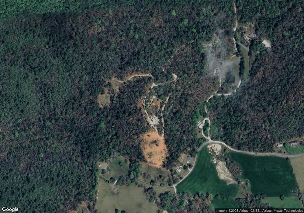
Map
Nearby Homes
- 0 Ov Justus Rd
- 243 Degroff Ln
- 137 Olds Mountain Peak Rd
- 786 Hope Haven Ln
- 0 Wolffork Rd Unit 10624471
- 108 Olds Mountain Peak Rd
- 0 John Beck Dockins Rd Unit 10606531
- 0 Uplander Unit 10628218
- 0 Uplander Unit M181832
- 0 N U S 441 NW Unit 10489249
- 0 Us-441 S Unit 10226435
- 1422 Wolffork Rd
- 5192 Wolffork Rd
- LOT SM4 Raven Fork Trail
- 153 Coleman Heights Ln
- 0 Smokey Hollow Dr Unit LOT 27 10561110
- LOT 18 Wynngate Dr
- 476 Franklin St
- 784 Wolffork Church Rd
- 205 Carolina St
- 5 Tatum Ln
- 950 Meadow Brook Ln
- 768 Meadow Brook
- 752 Meadow Brook Ln
- 752 Meadow Brook Ln Unit N/
- 021 Meadow Brook Ln Unit 21
- 97 Tatum Ln
- 309 Tatum Ln
- 0 Shake Hollow Deep Woo Unit LT 208 3134526
- 0 Shake Hollow Deep Woo Unit LT 206 3134522
- 0 Shake Hollow Deep Woo Unit LT 208 7247661
- 0 Shake Hollow Deep Woo Unit LT 206 7247659
- 272 Tatum Ln
- 244 Tatum Ln
- 310 Bob Mark Trail
- 430 Bob Mark Trail
- 411 Bob Mark Trail
- 260 Bob Mark Trail
- 468 Meadow Brook Ln
- 230 Bob Mark Trail