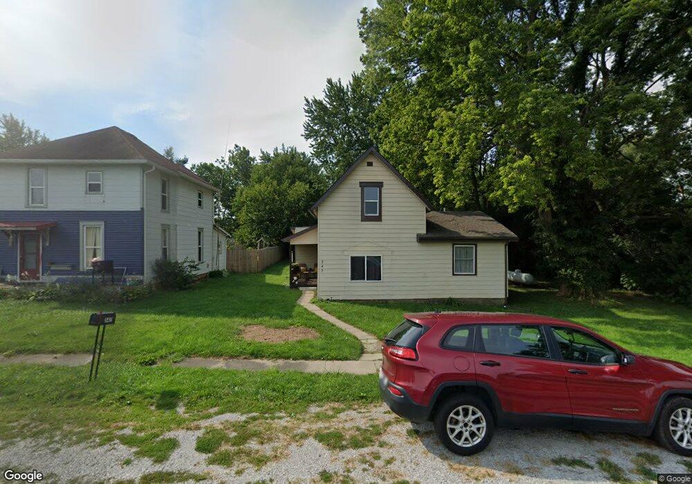
547 W County Road 700 N Frankfort, IN 46041
Estimated Value: $111,000 - $265,000
3
Beds
1
Bath
1,621
Sq Ft
$112/Sq Ft
Est. Value
About This Home
This home is located at 547 W County Road 700 N, Frankfort, IN 46041 and is currently estimated at $181,949, approximately $112 per square foot. 547 W County Road 700 N is a home located in Clinton County with nearby schools including Rossville Elementary School and Rossville Middle/High School.
Ownership History
Date
Name
Owned For
Owner Type
Purchase Details
Closed on
May 4, 2023
Sold by
Pluhar Edward R
Bought by
Sci Properties Llc
Current Estimated Value
Purchase Details
Closed on
Apr 21, 2003
Sold by
Reyes Marcos L
Bought by
Pluhar Edward R
Purchase Details
Closed on
Apr 15, 2003
Sold by
Secretary Of Housing & Urban Develo
Bought by
Reyes Marcos L
Purchase Details
Closed on
Apr 8, 2002
Sold by
Mortgage Electronic Registration
Bought by
Secretary Of Housing & Urban Develo
Purchase Details
Closed on
Mar 11, 2002
Sold by
Robinson William J
Bought by
Mortgage Electronic Registration
Create a Home Valuation Report for This Property
The Home Valuation Report is an in-depth analysis detailing your home's value as well as a comparison with similar homes in the area
Home Values in the Area
Average Home Value in this Area
Purchase History
| Date | Buyer | Sale Price | Title Company |
|---|---|---|---|
| Sci Properties Llc | -- | None Listed On Document | |
| Pluhar Edward R | $7,500 | -- | |
| Reyes Marcos L | $4,500 | -- | |
| Secretary Of Housing & Urban Develo | -- | -- | |
| Mortgage Electronic Registration | -- | -- |
Source: Public Records
Tax History Compared to Growth
Tax History
| Year | Tax Paid | Tax Assessment Tax Assessment Total Assessment is a certain percentage of the fair market value that is determined by local assessors to be the total taxable value of land and additions on the property. | Land | Improvement |
|---|---|---|---|---|
| 2024 | $556 | $50,800 | $5,500 | $45,300 |
| 2023 | $292 | $25,800 | $5,500 | $20,300 |
| 2022 | $392 | $25,800 | $5,500 | $20,300 |
| 2021 | $388 | $24,000 | $5,500 | $18,500 |
| 2020 | $342 | $24,000 | $5,500 | $18,500 |
| 2019 | $342 | $24,000 | $5,500 | $18,500 |
| 2018 | $331 | $24,000 | $5,500 | $18,500 |
| 2017 | $292 | $23,900 | $5,500 | $18,400 |
| 2016 | $303 | $30,200 | $7,900 | $22,300 |
| 2014 | $399 | $29,800 | $7,900 | $21,900 |
Source: Public Records
Map
Nearby Homes
- 6732 N State Road 39
- E E 800 S
- 105 E North St
- 0 W 700 Rd S Unit 202531697
- 114 N Plank St
- 23 Freeman Dr
- 1700 N Redbud Dr
- 1660 N Redbud Dr
- 8774 N Co Road 600 W
- 1309 N County Road 30 E
- 5979 State Route 38
- 5314 W Gas Line Rd
- 5371 E County Road 500 N
- 5418 W Gas Line Rd
- 6953 N State Road 29
- 1300 Myrtle Ave
- 756 Delphi Ave
- 2696 E Michigantown Rd
- 1059 N Main St
- 2174 Washington Ave
- 543 W County Road 700 N
- 529 W County Road 700 N
- 523 W County Road 700 N
- 554 W Moran Main St
- 528 Moran Main St
- 519 W County Road 700 N
- 530 W County Road 700 N
- 569 Moran Main St
- 428 W County Road 700 N
- 514 W County Road 700 N
- 6970 N County Road 50 W
- 543 W Moran Main St
- 557 W Moran Main St
- 6932 N County Road 50 W
- 488 W County Road 700 N
- 6959 N County Road 50 W
- 6914 N County Road 50 W
- 6929 N County Road 50 W
- 7035 N Moran Brown St
- 6905 N Co Road 50 W