Estimated Value: $279,005 - $328,000
3
Beds
2
Baths
1,654
Sq Ft
$184/Sq Ft
Est. Value
About This Home
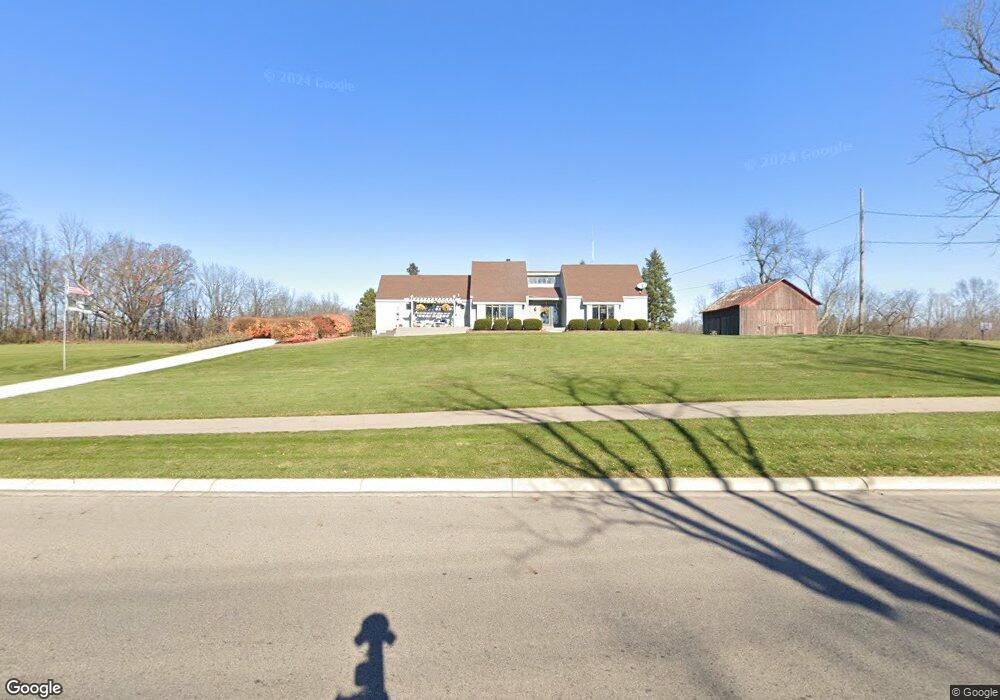
This home is located at 5470 Holt Rd, Holt, MI 48842 and is currently estimated at $304,251, approximately $183 per square foot. 5470 Holt Rd is a home located in Ingham County with nearby schools including Horizon Elementary School, Washington Woods Middle School, and Holt Junior High School.
Ownership History
Date
Name
Owned For
Owner Type
Purchase Details
Closed on
Sep 25, 2025
Sold by
Brockhaus Jack W and Brockhaus Linda J
Bought by
Brockhaus Jack W and Brockhaus Linda J
Current Estimated Value
Purchase Details
Closed on
Sep 10, 2025
Sold by
Brockhaus Jack W and Brockhaus Linda J
Bought by
Price Matthew and Price Cynthia Marie
Purchase Details
Closed on
Sep 5, 2025
Sold by
Brockhaus Jack W and Brockhaus Linda J
Bought by
Brockhaus Jack W and Brockhaus Linda J
Purchase Details
Closed on
May 31, 2019
Sold by
Brockhaus Jack W and Brockhaus Linda J
Bought by
Brockhaus Jack W and Brockhaus Linda J
Create a Home Valuation Report for This Property
The Home Valuation Report is an in-depth analysis detailing your home's value as well as a comparison with similar homes in the area
Home Values in the Area
Average Home Value in this Area
Purchase History
| Date | Buyer | Sale Price | Title Company |
|---|---|---|---|
| Brockhaus Jack W | -- | None Listed On Document | |
| Price Matthew | -- | None Listed On Document | |
| Brockhaus Jack W | -- | None Listed On Document | |
| Brockhaus Jack W | -- | None Available |
Source: Public Records
Tax History Compared to Growth
Tax History
| Year | Tax Paid | Tax Assessment Tax Assessment Total Assessment is a certain percentage of the fair market value that is determined by local assessors to be the total taxable value of land and additions on the property. | Land | Improvement |
|---|---|---|---|---|
| 2025 | $4,529 | $130,400 | $18,700 | $111,700 |
| 2024 | $4,237 | $111,300 | $18,700 | $92,600 |
| 2023 | $4,237 | $106,300 | $16,600 | $89,700 |
| 2022 | $4,013 | $99,300 | $16,600 | $82,700 |
| 2021 | $3,915 | $96,200 | $16,600 | $79,600 |
| 2020 | $3,913 | $90,500 | $16,600 | $73,900 |
| 2019 | $3,735 | $83,100 | $16,600 | $66,500 |
| 2018 | $3,691 | $74,800 | $16,500 | $58,300 |
| 2017 | $3,371 | $74,800 | $16,500 | $58,300 |
| 2016 | $3,341 | $72,700 | $16,500 | $56,200 |
| 2015 | $3,282 | $68,500 | $33,084 | $35,416 |
| 2014 | $3,282 | $66,500 | $36,977 | $29,523 |
Source: Public Records
Map
Nearby Homes
- 5360 Holt Rd
- 5386 Auben Ln
- 1946 Gunn Rd
- 1800 N Onondaga Rd
- 1931 Nightingale Dr
- 2134 Cedar Bend Dr
- 1820 Merganser Dr
- The Newton Plan at Meadow Ridge
- The Windsor Plan at Meadow Ridge
- The Hickory Plan at Meadow Ridge
- The Hatfield Plan at Meadow Ridge
- The Norway Plan at Meadow Ridge
- The Waverly Plan at Meadow Ridge
- The Westfield Plan at Meadow Ridge
- The Nantucket Plan at Meadow Ridge
- The Hartwell Plan at Meadow Ridge
- 1819 Merganser Dr
- 2174 Cedar Bend Dr
- 1915 Hollowbrook Dr
- 1851 Hollowbrook Dr