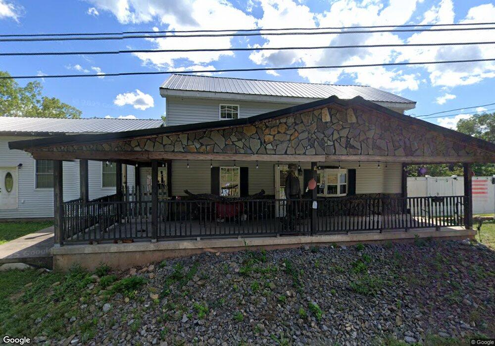
5470 Upper Rd Shamokin, PA 17872
Estimated Value: $75,091 - $183,000
Studio
--
Bath
--
Sq Ft
168,577
Sq Ft Lot
About This Home
This home is located at 5470 Upper Rd, Shamokin, PA 17872 and is currently estimated at $140,523. 5470 Upper Rd is a home located in Northumberland County with nearby schools including Shamokin Area Elementary School, Shamokin Area Middle School, and Shamokin Area High School.
Ownership History
Date
Name
Owned For
Owner Type
Purchase Details
Closed on
Feb 27, 2007
Sold by
Fisher Barbara A
Bought by
Libby Barry L
Current Estimated Value
Create a Home Valuation Report for This Property
The Home Valuation Report is an in-depth analysis detailing your home's value as well as a comparison with similar homes in the area
Purchase History
| Date | Buyer | Sale Price | Title Company |
|---|---|---|---|
| Libby Barry L | -- | None Available | |
| Fisher Barbara A | -- | None Available |
Source: Public Records
Tax History
| Year | Tax Paid | Tax Assessment Tax Assessment Total Assessment is a certain percentage of the fair market value that is determined by local assessors to be the total taxable value of land and additions on the property. | Land | Improvement |
|---|---|---|---|---|
| 2025 | $1,705 | $19,490 | $2,290 | $17,200 |
| 2024 | $1,547 | $19,490 | $2,290 | $17,200 |
| 2023 | $1,547 | $19,490 | $2,290 | $17,200 |
| 2022 | $1,511 | $19,490 | $2,290 | $17,200 |
| 2021 | $1,480 | $19,490 | $2,290 | $17,200 |
| 2020 | $1,454 | $19,490 | $2,290 | $17,200 |
| 2019 | $1,419 | $19,490 | $2,290 | $17,200 |
| 2018 | $1,397 | $19,490 | $2,290 | $17,200 |
| 2017 | $1,310 | $19,490 | $2,290 | $17,200 |
| 2016 | -- | $19,490 | $2,290 | $17,200 |
| 2015 | -- | $19,490 | $2,290 | $17,200 |
| 2014 | -- | $10,310 | $2,290 | $8,020 |
Source: Public Records
Map
Nearby Homes
- 4617 Upper Rd
- 4556 Upper Rd
- 15 Snyder Rd
- 6852 Upper Rd
- 0 Old Excelsior Rd
- 1674 Pulaski Ave
- 1705 Pulaski Ave
- 1701 Pulaski Ave
- 1542 Pulaski Ave
- 1665 Tioga St
- 456 S Shamokin St
- 1439 Scott St
- 1227 Pulaski Ave
- 400 and 402 S Shamokin St
- 1336 Scott St
- 328 S Shamokin St
- 1221 Chemung St
- 924 Hemlock St
- 1127 Pulaski Ave
- 1151 Poplar St
Your Personal Tour Guide
Ask me questions while you tour the home.