5470 Urbana Rd Unit 5480 Springfield, OH 45502
Estimated Value: $191,000 - $332,000
3
Beds
1
Bath
1,408
Sq Ft
$189/Sq Ft
Est. Value
About This Home
This home is located at 5470 Urbana Rd Unit 5480, Springfield, OH 45502 and is currently estimated at $265,783, approximately $188 per square foot. 5470 Urbana Rd Unit 5480 is a home located in Clark County with nearby schools including Rolling Hills Elementary School, Northridge Middle School, and Kenton Ridge Middle & High School.
Ownership History
Date
Name
Owned For
Owner Type
Purchase Details
Closed on
Dec 21, 2005
Sold by
Sterzenbach Norman C and Sterzenbach Charlotte E
Bought by
Sterzenbach William F and Sterzenbach Amy M
Current Estimated Value
Home Financials for this Owner
Home Financials are based on the most recent Mortgage that was taken out on this home.
Original Mortgage
$54,750
Outstanding Balance
$30,978
Interest Rate
6.48%
Mortgage Type
Fannie Mae Freddie Mac
Estimated Equity
$234,805
Purchase Details
Closed on
Oct 16, 1990
Bought by
Sterzenbach Norman C and Sterzenbach Charlotte E
Create a Home Valuation Report for This Property
The Home Valuation Report is an in-depth analysis detailing your home's value as well as a comparison with similar homes in the area
Home Values in the Area
Average Home Value in this Area
Purchase History
| Date | Buyer | Sale Price | Title Company |
|---|---|---|---|
| Sterzenbach William F | $73,000 | None Available | |
| Sterzenbach Norman C | $37,000 | -- |
Source: Public Records
Mortgage History
| Date | Status | Borrower | Loan Amount |
|---|---|---|---|
| Open | Sterzenbach William F | $54,750 |
Source: Public Records
Tax History Compared to Growth
Tax History
| Year | Tax Paid | Tax Assessment Tax Assessment Total Assessment is a certain percentage of the fair market value that is determined by local assessors to be the total taxable value of land and additions on the property. | Land | Improvement |
|---|---|---|---|---|
| 2024 | $2,803 | $65,680 | $36,690 | $28,990 |
| 2023 | $4,539 | $65,680 | $36,690 | $28,990 |
| 2022 | $3,307 | $88,430 | $36,690 | $51,740 |
| 2021 | $3,680 | $72,550 | $30,080 | $42,470 |
| 2020 | $3,683 | $72,550 | $30,080 | $42,470 |
| 2019 | $3,753 | $72,550 | $30,080 | $42,470 |
| 2018 | $3,387 | $62,800 | $28,250 | $34,550 |
| 2017 | $2,909 | $62,797 | $28,245 | $34,552 |
| 2016 | $2,889 | $62,797 | $28,245 | $34,552 |
| 2015 | $2,851 | $59,654 | $28,245 | $31,409 |
| 2014 | $2,850 | $59,654 | $28,245 | $31,409 |
| 2013 | $2,785 | $68,579 | $37,170 | $31,409 |
Source: Public Records
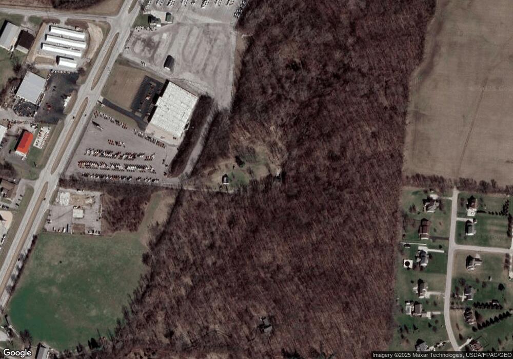
Map
Nearby Homes
- 593 Hiser Ave
- 880 Brendle Trace Unit 28
- 4514 Dowden St
- 916 Sawmill Ct
- 794 Donnelly Ave
- 4712 Cullen Ave
- 5249 Taywell Dr
- 970 Forest Edge Ave
- 5127 Stoneridge Dr
- 4622 W Ridgewood Rd
- 5220 Ridgewood Rd E
- Pendleton Plan at Liberty Place
- Holcombe Plan at Liberty Place
- Newcastle Plan at Liberty Place
- Chatham Plan at Liberty Place
- 1470 Oldham Dr Unit 12
- 1709 Thomas Dr
- 4740 Merrimont Ave
- 4109 Derr Rd
- 5363 Hearthstone Dr
- 5329 Hearthstone Dr
- 5291 Hearthstone Dr
- 5362 Hearthstone Dr
- 5522 Urbana Rd
- 5328 Hearthstone Dr
- 5253 Hearthstone Dr
- 5532 Urbana Rd
- 5188 Urbana Rd
- 557 Stonecroft Dr
- 5215 Hearthstone Dr
- 612 Stonecroft Dr
- 5252 Hearthstone Dr
- 5165 Hearthstone Dr
- 5200 Hearthstone Dr
- 640 Stonecroft Dr
- 615 Stonecroft Dr
- 5130 Hearthstone Dr
- 696 Stonecroft Dr
- 671 Stonecroft Dr