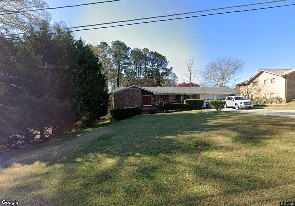
5471 Ledford Dr Austell, GA 30106
Estimated Value: $278,711 - $329,000
3
Beds
2
Baths
1,563
Sq Ft
$189/Sq Ft
Est. Value
About This Home
This home is located at 5471 Ledford Dr, Austell, GA 30106 and is currently estimated at $295,928, approximately $189 per square foot. 5471 Ledford Dr is a home located in Cobb County with nearby schools including Deerwood Elementary School, Austell Elementary School, and Garrett Middle School.
Ownership History
Date
Name
Owned For
Owner Type
Purchase Details
Closed on
Mar 29, 2004
Sold by
Doyle Clifford B and E M
Bought by
Ramahi Misbah A and Ramahi Ammar
Current Estimated Value
Home Financials for this Owner
Home Financials are based on the most recent Mortgage that was taken out on this home.
Original Mortgage
$152,000
Outstanding Balance
$70,341
Interest Rate
5.53%
Mortgage Type
New Conventional
Estimated Equity
$225,587
Create a Home Valuation Report for This Property
The Home Valuation Report is an in-depth analysis detailing your home's value as well as a comparison with similar homes in the area
Home Values in the Area
Average Home Value in this Area
Purchase History
| Date | Buyer | Sale Price | Title Company |
|---|---|---|---|
| Ramahi Misbah A | $152,000 | -- |
Source: Public Records
Mortgage History
| Date | Status | Borrower | Loan Amount |
|---|---|---|---|
| Open | Ramahi Misbah A | $152,000 |
Source: Public Records
Tax History Compared to Growth
Tax History
| Year | Tax Paid | Tax Assessment Tax Assessment Total Assessment is a certain percentage of the fair market value that is determined by local assessors to be the total taxable value of land and additions on the property. | Land | Improvement |
|---|---|---|---|---|
| 2025 | $690 | $129,396 | $30,000 | $99,396 |
| 2024 | $693 | $129,396 | $30,000 | $99,396 |
| 2023 | $533 | $144,772 | $20,000 | $124,772 |
| 2022 | $651 | $115,284 | $10,000 | $105,284 |
| 2021 | $536 | $76,812 | $10,000 | $66,812 |
| 2020 | $536 | $76,812 | $10,000 | $66,812 |
| 2019 | $496 | $63,348 | $6,000 | $57,348 |
| 2018 | $496 | $63,348 | $6,000 | $57,348 |
| 2017 | $440 | $63,348 | $6,000 | $57,348 |
| 2016 | $390 | $46,684 | $6,000 | $40,684 |
| 2015 | $418 | $46,684 | $6,000 | $40,684 |
| 2014 | $290 | $33,632 | $0 | $0 |
Source: Public Records
Map
Nearby Homes
- 2093 Gherry Dr
- 1803 Gherry Dr
- 5025 Bishops Row SW
- 1971 Annette Ln
- 1841 Mobley St
- 2070 Ravencliff Dr
- 1943 Arnold Dr
- 0 Harris St Unit 7661273
- 1 Perkerson Mill Rd SW
- 2136 Perkerson Mill Rd SW
- 5466 Davis Dr
- 2335 Ravencliff Dr
- 2335 Ravencliff Dr Unit 91
- 2140 Perkerson Mill Rd
- 2425 Ravencliff Dr Unit 88
- 2425 Ravencliff Dr
- 0 Dogwood Cir Unit 7671035
- 0 Dogwood Cir Unit 10630776
- 5425 Davis Dr
- 3045 Sunlight Dr
- 5461 Ledford Dr
- 5481 Ledford Dr
- 2091 Gherry Dr
- 5451 Ledford Dr
- 5451 Ledford Dr Unit 4
- 5460 Ledford Dr
- 5470 Ledford Dr
- 5480 Ledford Dr
- 5480 Ledford Dr
- 2088 Gherry Dr
- 2086 Gherry Dr
- 2084 Gherry Dr Unit 5
- 2090 Gherry Dr
- 5450 Ledford Dr
- 5440 Ledford Dr
- 2082 Gherry Dr
- 2051 Gherry Dr
- 5421 Ledford Dr
- 2041 Gherry Dr
- 5430 Ledford Dr