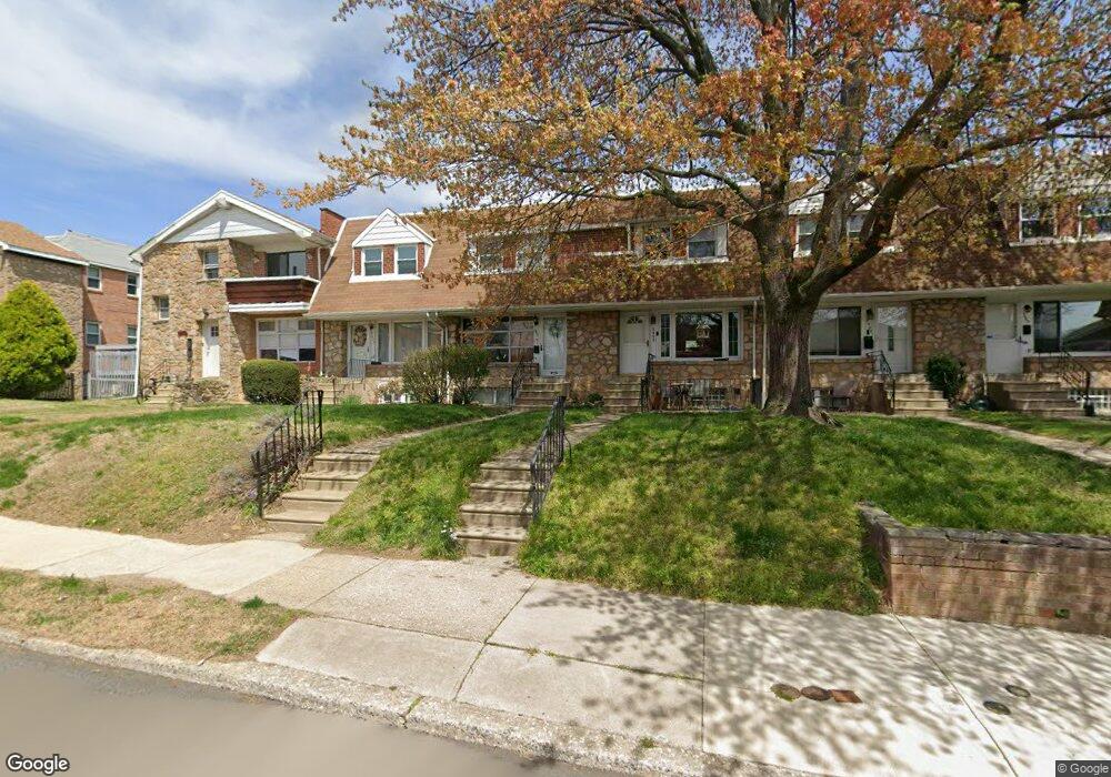
5471 Quentin St Philadelphia, PA 19128
Wissahickon NeighborhoodEstimated Value: $329,733 - $351,000
3
Beds
1
Bath
1,132
Sq Ft
$303/Sq Ft
Est. Value
About This Home
This home is located at 5471 Quentin St, Philadelphia, PA 19128 and is currently estimated at $342,933, approximately $302 per square foot. 5471 Quentin St is a home located in Philadelphia County with nearby schools including Cook-Wissahickon School, Roxborough High School, and St. John the Baptist School.
Ownership History
Date
Name
Owned For
Owner Type
Purchase Details
Closed on
Sep 28, 2001
Sold by
Quarino Theresa and Poulos Theresa
Bought by
Laganella Mark
Current Estimated Value
Home Financials for this Owner
Home Financials are based on the most recent Mortgage that was taken out on this home.
Original Mortgage
$109,125
Outstanding Balance
$42,840
Interest Rate
6.93%
Estimated Equity
$300,093
Create a Home Valuation Report for This Property
The Home Valuation Report is an in-depth analysis detailing your home's value as well as a comparison with similar homes in the area
Home Values in the Area
Average Home Value in this Area
Purchase History
| Date | Buyer | Sale Price | Title Company |
|---|---|---|---|
| Laganella Mark | $112,500 | -- |
Source: Public Records
Mortgage History
| Date | Status | Borrower | Loan Amount |
|---|---|---|---|
| Open | Laganella Mark | $109,125 |
Source: Public Records
Tax History Compared to Growth
Tax History
| Year | Tax Paid | Tax Assessment Tax Assessment Total Assessment is a certain percentage of the fair market value that is determined by local assessors to be the total taxable value of land and additions on the property. | Land | Improvement |
|---|---|---|---|---|
| 2025 | $3,514 | $299,400 | $59,880 | $239,520 |
| 2024 | $3,514 | $299,400 | $59,880 | $239,520 |
| 2023 | $3,514 | $251,000 | $50,200 | $200,800 |
| 2022 | $3,514 | $251,000 | $50,200 | $200,800 |
| 2021 | $2,842 | $0 | $0 | $0 |
| 2020 | $2,842 | $0 | $0 | $0 |
| 2019 | $2,793 | $0 | $0 | $0 |
| 2018 | $2,594 | $0 | $0 | $0 |
| 2017 | $2,594 | $0 | $0 | $0 |
| 2016 | $2,594 | $0 | $0 | $0 |
| 2015 | $2,458 | $0 | $0 | $0 |
| 2014 | -- | $185,300 | $33,784 | $151,516 |
| 2012 | -- | $22,368 | $1,638 | $20,730 |
Source: Public Records
Map
Nearby Homes
- 243 Lauriston St
- 559 Righter St
- 423 Righter St
- 5460 Ridge Ave
- 534 Seville St
- 600 Seville St
- 252 Sumac St
- 174-76 Lauriston St
- 367 W Salaignac St
- 202 Kalos St
- 208 Kalos St
- 386 Dawson St
- 371 Dawson St
- 3811 Lauriston St
- 210 Kalos St
- 3823 Lauriston St
- 354 Dawson St
- 4015 Mitchell St
- 543 Walnut Ln
- 179 Osborn St
- 5469 Quentin St
- 5473 Quentin St
- 5467 Quentin St
- 5465 Quentin St
- 5475 Quentin St
- 5475 Quentin St Unit 1ST FLOOR
- 5463 Quentin St
- 5477 Quentin St
- 5461 Quentin St Unit A
- 5461 Quentin St
- 5445 Houghton Place
- 5459 Quentin St
- 5479 Quentin St Unit 1
- 5479 Quentin St
- 5447 Houghton Place
- 5449 Houghton Place
- 5457 Quentin St
- 5451 Houghton Place
- 5481 Quentin St Unit 1
- 5481 Quentin St