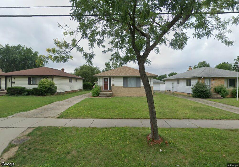
5472 E 141st St Maple Heights, OH 44137
Estimated Value: $144,973 - $159,000
3
Beds
1
Bath
1,176
Sq Ft
$128/Sq Ft
Est. Value
About This Home
This home is located at 5472 E 141st St, Maple Heights, OH 44137 and is currently estimated at $150,493, approximately $127 per square foot. 5472 E 141st St is a home located in Cuyahoga County with nearby schools including Abraham Lincoln Elementary School, Rockside/ J.F. Kennedy School, and Barack Obama School.
Ownership History
Date
Name
Owned For
Owner Type
Purchase Details
Closed on
Aug 18, 2013
Sold by
James Maria A
Bought by
James Joseph L and James Joe L
Current Estimated Value
Purchase Details
Closed on
May 14, 1999
Sold by
Depew Barbara J Revocable Living Trust and Depew Barbara J
Bought by
James Joseph L and James Maria A
Home Financials for this Owner
Home Financials are based on the most recent Mortgage that was taken out on this home.
Original Mortgage
$88,454
Outstanding Balance
$22,760
Interest Rate
6.99%
Mortgage Type
FHA
Estimated Equity
$127,733
Purchase Details
Closed on
Jan 27, 1994
Sold by
Depew David G and Depew Barbara J
Bought by
Depew, Barbara J. Lvg Trust
Purchase Details
Closed on
Jan 1, 1975
Bought by
Depew David G and Depew Barbara J
Create a Home Valuation Report for This Property
The Home Valuation Report is an in-depth analysis detailing your home's value as well as a comparison with similar homes in the area
Home Values in the Area
Average Home Value in this Area
Purchase History
| Date | Buyer | Sale Price | Title Company |
|---|---|---|---|
| James Joseph L | -- | Attorney | |
| James Joseph L | $88,500 | Transcounty Title Agency Inc | |
| Depew, Barbara J. Lvg Trust | -- | -- | |
| Depew David G | -- | -- |
Source: Public Records
Mortgage History
| Date | Status | Borrower | Loan Amount |
|---|---|---|---|
| Open | James Joseph L | $88,454 |
Source: Public Records
Tax History
| Year | Tax Paid | Tax Assessment Tax Assessment Total Assessment is a certain percentage of the fair market value that is determined by local assessors to be the total taxable value of land and additions on the property. | Land | Improvement |
|---|---|---|---|---|
| 2024 | $4,163 | $47,110 | $8,050 | $39,060 |
| 2023 | $3,319 | $32,340 | $5,950 | $26,390 |
| 2022 | $3,307 | $32,340 | $5,950 | $26,390 |
| 2021 | $3,534 | $32,340 | $5,950 | $26,390 |
| 2020 | $3,001 | $24,500 | $4,520 | $19,990 |
| 2019 | $2,986 | $70,000 | $12,900 | $57,100 |
| 2018 | $2,888 | $24,500 | $4,520 | $19,990 |
| 2017 | $3,012 | $24,330 | $4,060 | $20,270 |
| 2016 | $2,913 | $24,330 | $4,060 | $20,270 |
| 2015 | $2,780 | $24,330 | $4,060 | $20,270 |
| 2014 | $2,780 | $25,100 | $4,200 | $20,900 |
Source: Public Records
Map
Nearby Homes
- 13719 Wolf Ave
- 13917 Maple Leaf Dr
- 5408 Roland Dr
- 13704 Linn Ave
- 13616 Oakview Blvd
- 13508 Oakview Blvd
- 13206 Shady Oak Blvd
- 13905 Thraves Ave
- 13116 Oak Park Blvd
- 14404 Tokay Ave
- 14512 Granger Rd
- 14203 Tabor Ave
- 14510 Granger Rd
- 14818 Reddington Ave
- 13109 Oakview Blvd
- 14305 Granger Rd
- 14619 Tokay Ave
- 14214 Tabor Ave
- 13008 Willard Ave
- 13008 Oakview Blvd
- 5468 E 141st St
- 5476 E 141st St
- 5464 E 141st St
- 5480 E 141st St
- 5605 E 139th St
- 5609 E 139th St
- 5484 E 141st St
- 5460 E 141st St
- 5601 E 139th St
- 5613 E 139th St
- 5597 E 139th St
- 5473 E 141st St
- 5488 E 141st St
- 5477 E 141st St
- 5593 E 139th St
- 5617 E 139th St
- 5456 E 141st St
- 5469 E 141st St
- 5481 E 141st St
- 5465 E 141st St
Your Personal Tour Guide
Ask me questions while you tour the home.