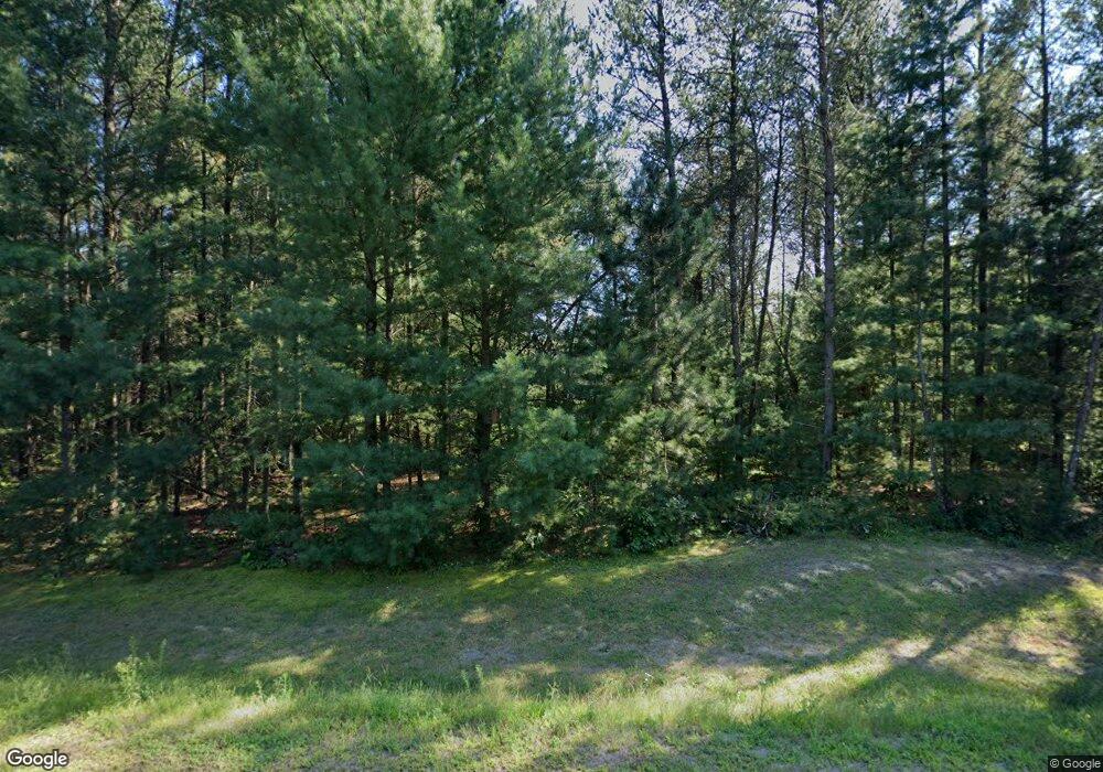
5473 Tower Dr Eau Claire, WI 54703
Estimated Value: $397,000 - $585,217
--
Bed
--
Bath
--
Sq Ft
3.73
Acres
About This Home
This home is located at 5473 Tower Dr, Eau Claire, WI 54703 and is currently estimated at $486,739. 5473 Tower Dr is a home located in Eau Claire County with nearby schools including Northwoods Elementary School, Northstar Middle School, and North High School.
Ownership History
Date
Name
Owned For
Owner Type
Purchase Details
Closed on
Sep 14, 2005
Sold by
Harmon Ritsch Llc
Bought by
Day Thomas E and Day Marilyn K
Current Estimated Value
Purchase Details
Closed on
Apr 20, 2005
Sold by
Harmon Kirk D and Ritsch Gerald R
Bought by
Harmon Ritsch Llc
Home Financials for this Owner
Home Financials are based on the most recent Mortgage that was taken out on this home.
Original Mortgage
$119,000
Interest Rate
5.89%
Mortgage Type
Purchase Money Mortgage
Create a Home Valuation Report for This Property
The Home Valuation Report is an in-depth analysis detailing your home's value as well as a comparison with similar homes in the area
Home Values in the Area
Average Home Value in this Area
Purchase History
| Date | Buyer | Sale Price | Title Company |
|---|---|---|---|
| Day Thomas E | $50,000 | None Available | |
| Harmon Ritsch Llc | -- | None Available |
Source: Public Records
Mortgage History
| Date | Status | Borrower | Loan Amount |
|---|---|---|---|
| Previous Owner | Harmon Ritsch Llc | $119,000 |
Source: Public Records
Tax History Compared to Growth
Tax History
| Year | Tax Paid | Tax Assessment Tax Assessment Total Assessment is a certain percentage of the fair market value that is determined by local assessors to be the total taxable value of land and additions on the property. | Land | Improvement |
|---|---|---|---|---|
| 2024 | $5,527 | $558,800 | $70,100 | $488,700 |
| 2023 | $4,794 | $311,600 | $50,500 | $261,100 |
| 2022 | $4,565 | $311,600 | $50,500 | $261,100 |
| 2021 | $4,722 | $311,600 | $50,500 | $261,100 |
| 2020 | $4,532 | $311,600 | $50,500 | $261,100 |
| 2019 | $4,368 | $311,600 | $50,500 | $261,100 |
| 2018 | $4,354 | $311,600 | $50,500 | $261,100 |
| 2017 | $4,630 | $311,600 | $50,500 | $261,100 |
| 2016 | $4,571 | $311,600 | $50,500 | $261,100 |
| 2014 | -- | $306,100 | $44,200 | $261,900 |
| 2013 | -- | $302,900 | $44,200 | $258,700 |
Source: Public Records
Map
Nearby Homes
- 3917 N Shore Dr
- 4786 N Shore Dr
- Lot 10 Legacy Dr
- 5839 N Shore Dr
- Lot 8 Legacy Dr
- Lot 14 Legacy Dr
- Lot 12 Legacy Dr
- Lot 7 Legacy Dr
- Lot 3 Legacy Dr
- Lot 4 Legacy Dr
- 4400 Lasalle St
- 6720 S Shore Dr
- 0 Bullhead Pond Dr
- 1012 Garfield Ave
- Lot 1 Richards Dr
- LOT 28 Sequoia Dr
- 904 Timber View Dr
- 2020 Providence Ct Unit D-14
- 907 Sandalwood Dr
- 767 Sequoia Dr
- 5468 Tower Dr
- 5528 Perth Dr
- 1116 McClaflin Ave
- 1116 McClaflin Ave
- 5509 Perth Dr
- 5513 Perth Dr
- 0 Tower Dr Unit 358239
- 0 Tower Dr Unit 903615
- 0 Tower Dr Unit 1500404
- 0 Tower Dr Unit 356653
- Lot 4 Tower Dr
- 0 Tower Dr Unit 879793
- 0 Tower Dr Unit 1514228
- Lot 3 Tower Dr
- 0 Tower Dr Unit 879788
- 0 Tower Dr Unit 1567748
- 0 Tower Dr Unit 1503967
- 1048 McClaflin Ave
- 5546 Perth Dr
- 5533 Perth Dr
