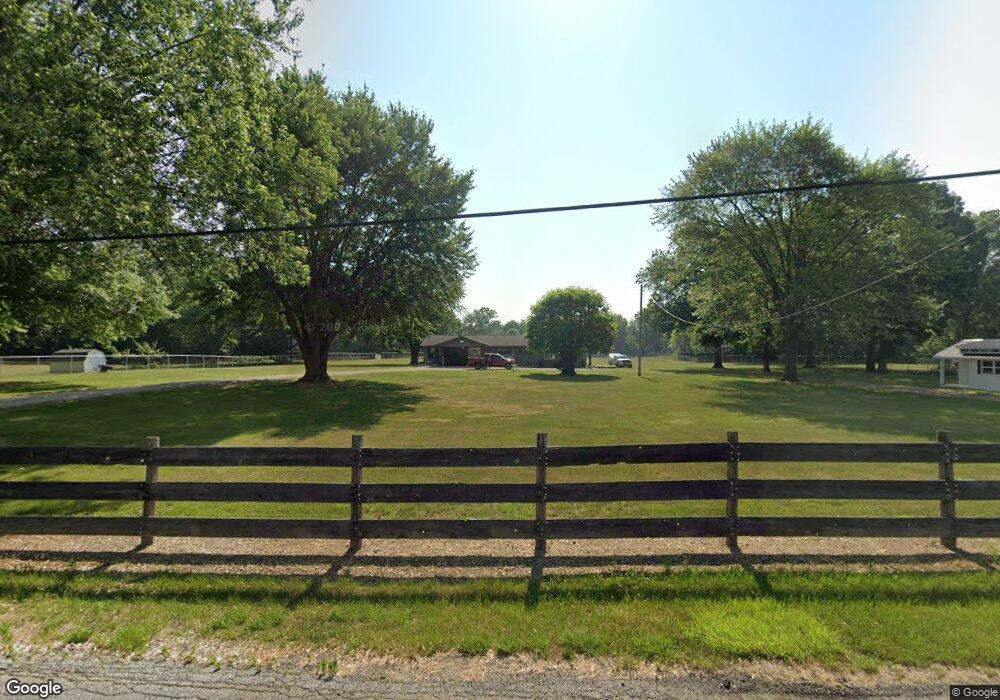
54768 Pear Rd South Bend, IN 46628
Estimated Value: $279,000 - $365,000
2
Beds
1
Bath
2,060
Sq Ft
$156/Sq Ft
Est. Value
About This Home
This home is located at 54768 Pear Rd, South Bend, IN 46628 and is currently estimated at $320,718, approximately $155 per square foot. 54768 Pear Rd is a home located in St. Joseph County with nearby schools including Paton-Churdan Elementary School, Warren Elementary School, and Clay Intermediate Center.
Ownership History
Date
Name
Owned For
Owner Type
Purchase Details
Closed on
Mar 14, 2023
Sold by
Bishop Angelica Noelle
Bought by
Bishop Nathan T and Bishop Angelica Noelle
Current Estimated Value
Purchase Details
Closed on
Mar 9, 2023
Sold by
Bishop Angelica Noelle
Bought by
Bishop Nathan T and Bishop Angelica Noelle
Create a Home Valuation Report for This Property
The Home Valuation Report is an in-depth analysis detailing your home's value as well as a comparison with similar homes in the area
Home Values in the Area
Average Home Value in this Area
Purchase History
| Date | Buyer | Sale Price | Title Company |
|---|---|---|---|
| Bishop Nathan T | -- | None Listed On Document | |
| Bishop Nathan T | -- | -- |
Source: Public Records
Tax History Compared to Growth
Tax History
| Year | Tax Paid | Tax Assessment Tax Assessment Total Assessment is a certain percentage of the fair market value that is determined by local assessors to be the total taxable value of land and additions on the property. | Land | Improvement |
|---|---|---|---|---|
| 2024 | $1,006 | $284,100 | $54,800 | $229,300 |
| 2023 | $949 | $160,800 | $50,900 | $109,900 |
| 2022 | $263 | $161,500 | $54,800 | $106,700 |
| 2021 | $316 | $100,200 | $42,200 | $58,000 |
| 2020 | $154 | $88,100 | $37,000 | $51,100 |
| 2019 | $212 | $92,500 | $38,800 | $53,700 |
| 2018 | $170 | $88,100 | $36,700 | $51,400 |
| 2017 | $159 | $86,700 | $36,700 | $50,000 |
| 2016 | $256 | $96,000 | $36,700 | $59,300 |
| 2014 | $136 | $88,200 | $30,500 | $57,700 |
Source: Public Records
Map
Nearby Homes
- 54962 Quince Rd
- 54492 Avalon Dr
- 54483 Whitesell Dr
- 54520 Norwood Dr
- 26427 Evans Dr
- 0 Lakewood Dr
- 54221 Longwood Dr
- 54000 Block Whitesell Dr
- 25849 Kenwood Dr
- 26366 Hummingbird Rd
- 55629 Cardinal Dr
- 26896 Mc Arthur Ct
- 26896 Mcarthur Ct
- 26882 Marshall Dr N
- 25700 Lakewood Dr
- Integrity 1605 Plan at West Pointe Estates
- Integrity 2060 Plan at West Pointe Estates
- Integrity 2280 Plan at West Pointe Estates
- Elements 1680 Plan at West Pointe Estates
- The Gipper Plan at West Pointe Estates