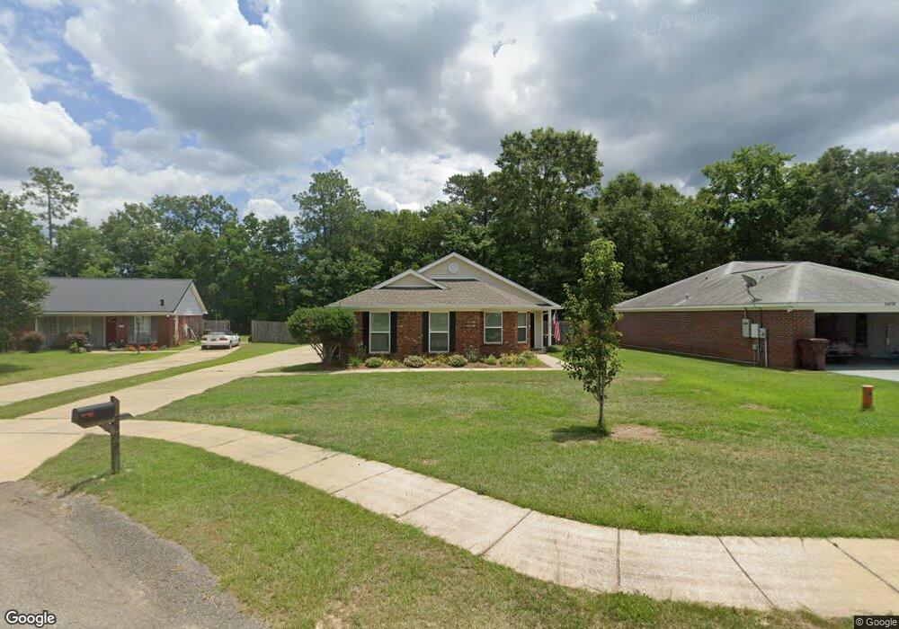
5478 Colony Trace Ct Satsuma, AL 36572
Estimated Value: $240,970 - $260,000
3
Beds
2
Baths
1,325
Sq Ft
$188/Sq Ft
Est. Value
About This Home
This home is located at 5478 Colony Trace Ct, Satsuma, AL 36572 and is currently estimated at $248,743, approximately $187 per square foot. 5478 Colony Trace Ct is a home located in Mobile County with nearby schools including Robert E. Lee Elementary School, Satsuma High School, and Satsuma Christian School.
Ownership History
Date
Name
Owned For
Owner Type
Purchase Details
Closed on
Nov 1, 2004
Sold by
Giovinazzi Crista A
Bought by
Morgan Neil E
Current Estimated Value
Home Financials for this Owner
Home Financials are based on the most recent Mortgage that was taken out on this home.
Original Mortgage
$108,300
Interest Rate
5.6%
Mortgage Type
FHA
Purchase Details
Closed on
Feb 27, 2003
Sold by
The Mitchell Co Inc
Bought by
Giovinazzi Crista A
Home Financials for this Owner
Home Financials are based on the most recent Mortgage that was taken out on this home.
Original Mortgage
$104,062
Interest Rate
3.47%
Create a Home Valuation Report for This Property
The Home Valuation Report is an in-depth analysis detailing your home's value as well as a comparison with similar homes in the area
Home Values in the Area
Average Home Value in this Area
Purchase History
| Date | Buyer | Sale Price | Title Company |
|---|---|---|---|
| Morgan Neil E | $110,000 | Stewart Title Guaranty Compa | |
| Giovinazzi Crista A | -- | -- |
Source: Public Records
Mortgage History
| Date | Status | Borrower | Loan Amount |
|---|---|---|---|
| Previous Owner | Morgan Neil E | $108,300 | |
| Previous Owner | Giovinazzi Crista A | $104,062 |
Source: Public Records
Tax History Compared to Growth
Tax History
| Year | Tax Paid | Tax Assessment Tax Assessment Total Assessment is a certain percentage of the fair market value that is determined by local assessors to be the total taxable value of land and additions on the property. | Land | Improvement |
|---|---|---|---|---|
| 2024 | $994 | $17,390 | $2,500 | $14,890 |
| 2023 | $994 | $17,440 | $3,500 | $13,940 |
| 2022 | $929 | $16,300 | $3,360 | $12,940 |
| 2021 | $876 | $15,440 | $2,800 | $12,640 |
| 2020 | $766 | $13,650 | $2,800 | $10,850 |
| 2019 | $711 | $12,760 | $0 | $0 |
| 2018 | $717 | $12,860 | $0 | $0 |
| 2017 | $738 | $13,200 | $0 | $0 |
| 2016 | $746 | $13,320 | $0 | $0 |
| 2013 | $720 | $12,800 | $0 | $0 |
Source: Public Records
Map
Nearby Homes
- 5454 Colony Trace Ct
- 0 Travellers Ct Unit 34 0653435
- 336 Avondale Ct
- 5463 Barbara Dr
- 5366 Scanlan Way E
- 315 Thunderbird Dr
- 0 Orchard St
- 5640 Orchard St
- 100 Baker Rd
- 334 Avondale Ave
- 5718 Apache Dr
- 5719 Warrior Dr
- 5726 Apache Dr
- 5503 Darring St
- 5509 Darring St
- 5303 U S 43
- 612 Saraland Ave
- 615 Saraland Ave
- 000 I-65 Service Rd
- 00 I-65 Service Rd
- 5474 Colony Trace Ct
- 5482 Colony Trace Ct
- 5470 Colony Trace Ct
- 5483 Travellers Ct
- 5486 Colony Trace Ct
- 5466 Colony Trace Ct
- 5487 Travellers Ct
- 5475 Colony Trace Ct
- 5462 Colony Trace Ct
- 5487 Colony Trace Ct
- 5491 Travellers Ct
- 5471 Colony Trace Ct
- 5483 Colony Trace Ct
- 292 Travellers Ct
- 5467 Colony Trace Ct
- 379 Braxton Dr
- 5495 Travellers Ct
- 5458 Colony Trace Ct
- 5463 Colony Trace Ct
- 288 Travellers Ct