548 Boundary Bay Rd Point Roberts, WA 98281
Estimated Value: $438,000 - $499,000
3
Beds
2
Baths
1,575
Sq Ft
$302/Sq Ft
Est. Value
About This Home
This home is located at 548 Boundary Bay Rd, Point Roberts, WA 98281 and is currently estimated at $476,205, approximately $302 per square foot. 548 Boundary Bay Rd is a home located in Whatcom County with nearby schools including Point Roberts Primary School, Blaine Middle School, and Blaine High School.
Ownership History
Date
Name
Owned For
Owner Type
Purchase Details
Closed on
Sep 25, 2008
Sold by
Peltier Jeffery H and Peltier Fern
Bought by
Valdes Gonzalo and Valdes Ana Catalina
Current Estimated Value
Home Financials for this Owner
Home Financials are based on the most recent Mortgage that was taken out on this home.
Original Mortgage
$212,800
Outstanding Balance
$53,031
Interest Rate
6.49%
Mortgage Type
Purchase Money Mortgage
Estimated Equity
$423,174
Purchase Details
Closed on
Jan 27, 2004
Sold by
Gaudette Lawrence Joseph and Gaudette Iris Ethel Ellen
Bought by
Peltier Jeffrey H and Peltier Fern
Create a Home Valuation Report for This Property
The Home Valuation Report is an in-depth analysis detailing your home's value as well as a comparison with similar homes in the area
Home Values in the Area
Average Home Value in this Area
Purchase History
| Date | Buyer | Sale Price | Title Company |
|---|---|---|---|
| Valdes Gonzalo | $266,280 | Whatcom Land Title | |
| Peltier Jeffrey H | -- | Whatcom Land Title |
Source: Public Records
Mortgage History
| Date | Status | Borrower | Loan Amount |
|---|---|---|---|
| Open | Valdes Gonzalo | $212,800 |
Source: Public Records
Tax History Compared to Growth
Tax History
| Year | Tax Paid | Tax Assessment Tax Assessment Total Assessment is a certain percentage of the fair market value that is determined by local assessors to be the total taxable value of land and additions on the property. | Land | Improvement |
|---|---|---|---|---|
| 2024 | $3,433 | $430,203 | $102,383 | $327,820 |
| 2023 | $3,433 | $420,895 | $93,075 | $327,820 |
| 2022 | $2,797 | $384,379 | $85,000 | $299,379 |
| 2021 | $2,786 | $280,889 | $40,128 | $240,761 |
| 2020 | $2,773 | $260,079 | $37,155 | $222,924 |
| 2019 | $2,570 | $249,474 | $35,640 | $213,834 |
| 2018 | $2,466 | $224,275 | $32,040 | $192,235 |
| 2017 | $2,138 | $214,195 | $30,600 | $183,595 |
| 2016 | $2,318 | $209,995 | $30,000 | $179,995 |
| 2015 | $2,466 | $221,478 | $32,847 | $188,631 |
| 2014 | -- | $231,537 | $34,340 | $197,197 |
| 2013 | -- | $221,160 | $32,980 | $188,180 |
Source: Public Records
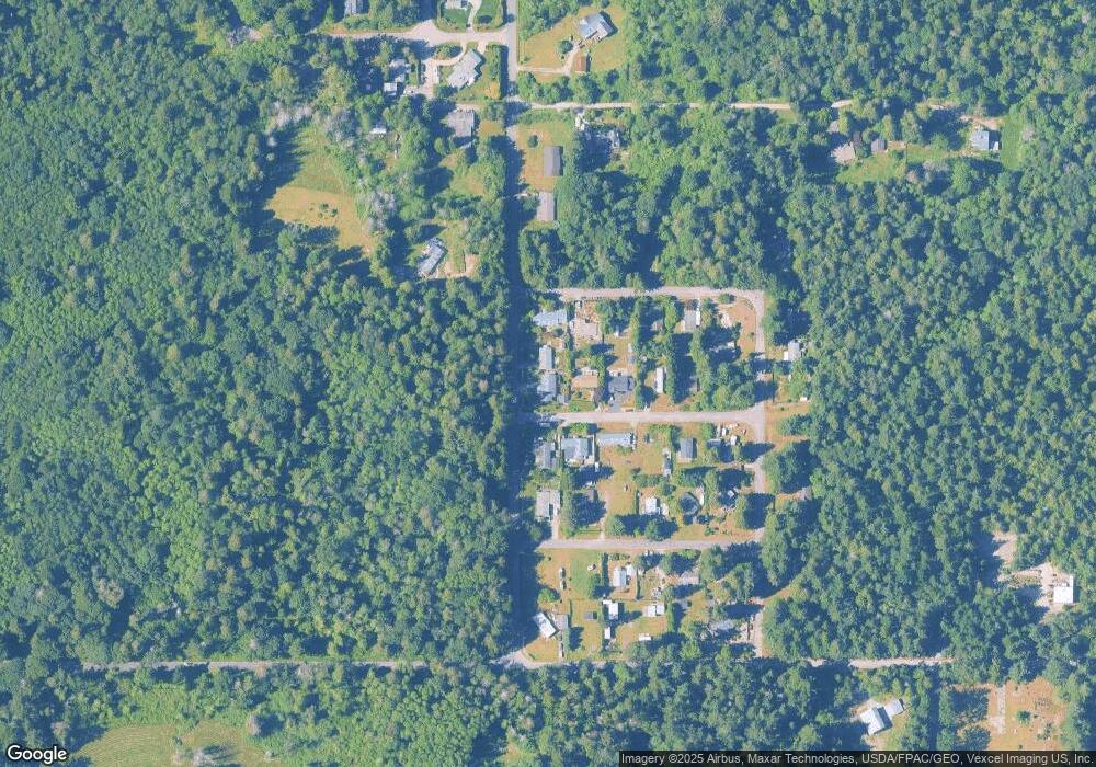
Map
Nearby Homes
- 500 Moose Trail
- 2128 Seabright Loop
- 2202 Seabright Loop
- 58 Seabright Loop
- 2149 Seabright Loop
- 0 Lot 7 Weasel Run Rd
- 6 Weasel Run Rd
- 0 X Weasel Run
- 2250 Seabright Loop
- 2242 Seabright Loop
- 2246 Seabright Loop
- 412 High Bluff Dr
- 2045 Apa Rd
- 302 Boundary Bay Rd
- 4 Boundary Bay Rd
- Lot 35 Boundary Bay Rd
- 2138 Benson Rd
- 675 Sylvia Dr
- 1976 Cedar Park Dr
- Lot 2 Greenwood Dr
- 542 Boundary Bay Rd
- 2209 Ross Rd
- 2215 Ross Rd
- 2215 Williams Rd
- 2220 Williams Rd
- 2227 Williams Rd
- 2228 Williams Rd
- 2216 Olson Rd
- 574 Boundary Bay Rd
- 2233 Ross Rd
- 2230 Williams Rd
- 541 Mclaren Rd
- 525 Boundary Bay Rd
- 520 Boundary Bay Rd
- 2224 Ross Rd
- 2226 Olson Rd
- 2225 Olson Rd
- 548 Mclaren Rd
- 2210 Apa Rd
- 510 Boundary Bay Rd