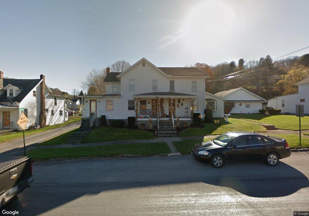
548 Broad St Unit 550 Brockway, PA 15824
Estimated Value: $144,000 - $175,000
--
Bed
--
Bath
1,272
Sq Ft
$122/Sq Ft
Est. Value
About This Home
This home is located at 548 Broad St Unit 550, Brockway, PA 15824 and is currently estimated at $155,468, approximately $122 per square foot. 548 Broad St Unit 550 is a home located in Jefferson County with nearby schools including Brockway Area Elementary School, Brockway Area Junior/Senior High School, and Hillside School.
Create a Home Valuation Report for This Property
The Home Valuation Report is an in-depth analysis detailing your home's value as well as a comparison with similar homes in the area
Home Values in the Area
Average Home Value in this Area
Tax History Compared to Growth
Tax History
| Year | Tax Paid | Tax Assessment Tax Assessment Total Assessment is a certain percentage of the fair market value that is determined by local assessors to be the total taxable value of land and additions on the property. | Land | Improvement |
|---|---|---|---|---|
| 2025 | $2,448 | $51,700 | $6,870 | $44,830 |
| 2024 | $2,794 | $51,700 | $6,870 | $44,830 |
| 2023 | $2,397 | $51,700 | $6,870 | $44,830 |
| 2022 | $2,397 | $51,700 | $6,870 | $44,830 |
| 2021 | $2,397 | $51,700 | $6,870 | $44,830 |
| 2020 | $2,397 | $51,700 | $6,870 | $44,830 |
| 2019 | $2,312 | $51,700 | $6,870 | $44,830 |
| 2018 | $2,211 | $51,700 | $6,870 | $44,830 |
| 2017 | $2,183 | $51,700 | $6,870 | $44,830 |
| 2016 | $1,971 | $51,700 | $6,870 | $44,830 |
| 2015 | -- | $51,700 | $6,870 | $44,830 |
| 2012 | -- | $51,700 | $6,870 | $44,830 |
Source: Public Records
Map
Nearby Homes
- 1074 10th Ave
- 1549 Main St
- 924 Elm St
- 0 U S 219
- 970 Baghdad Rd
- 19 Salandra Ln
- 7956 U S 219
- 425 Zuccolotto Ln
- 1083 Rattlesnake Rd
- 101 Howard Rd
- 5850 U S 219
- 5546 Stevenson Hill Rd
- 390 Galliot Ct
- 0 Coal Glen Rd
- 636 Cap Haitien Rd
- 0 Cap Haitien Rd Unit SEC 17 LOT 14
- 13 Cap Haitien Rd
- Section 14 Lot 24 Port-Au-prince Rd
- 14 Port-Au-prince Rd
- 579 Codrington Rd