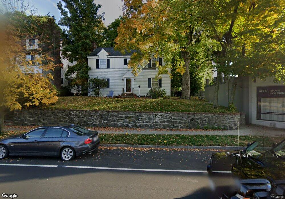
548 Commonwealth Ave Unit 550 Newton Center, MA 02459
Newton Centre NeighborhoodEstimated Value: $1,480,000 - $1,561,126
4
Beds
3
Baths
2,176
Sq Ft
$701/Sq Ft
Est. Value
About This Home
This home is located at 548 Commonwealth Ave Unit 550, Newton Center, MA 02459 and is currently estimated at $1,524,532, approximately $700 per square foot. 548 Commonwealth Ave Unit 550 is a home located in Middlesex County with nearby schools including Ward Elementary School, Mason Rice Elementary School, and Charles E Brown Middle School.
Ownership History
Date
Name
Owned For
Owner Type
Purchase Details
Closed on
Sep 1, 2000
Sold by
Mcmullin Thomas M and Mcmullin Claire T
Bought by
Butts Christopher W
Current Estimated Value
Home Financials for this Owner
Home Financials are based on the most recent Mortgage that was taken out on this home.
Original Mortgage
$325,000
Outstanding Balance
$118,954
Interest Rate
8.16%
Mortgage Type
Purchase Money Mortgage
Estimated Equity
$1,405,578
Create a Home Valuation Report for This Property
The Home Valuation Report is an in-depth analysis detailing your home's value as well as a comparison with similar homes in the area
Home Values in the Area
Average Home Value in this Area
Purchase History
| Date | Buyer | Sale Price | Title Company |
|---|---|---|---|
| Butts Christopher W | $500,000 | -- |
Source: Public Records
Mortgage History
| Date | Status | Borrower | Loan Amount |
|---|---|---|---|
| Open | Butts Christopher W | $325,000 |
Source: Public Records
Tax History Compared to Growth
Tax History
| Year | Tax Paid | Tax Assessment Tax Assessment Total Assessment is a certain percentage of the fair market value that is determined by local assessors to be the total taxable value of land and additions on the property. | Land | Improvement |
|---|---|---|---|---|
| 2025 | $10,384 | $1,059,600 | $917,900 | $141,700 |
| 2024 | $10,040 | $1,028,700 | $891,200 | $137,500 |
| 2023 | $9,593 | $942,300 | $711,300 | $231,000 |
| 2022 | $9,179 | $872,500 | $658,600 | $213,900 |
| 2021 | $8,613 | $800,500 | $604,200 | $196,300 |
| 2020 | $8,357 | $800,500 | $604,200 | $196,300 |
| 2019 | $7,818 | $748,100 | $564,700 | $183,400 |
| 2018 | $7,761 | $717,300 | $529,100 | $188,200 |
| 2017 | $7,318 | $658,100 | $485,400 | $172,700 |
| 2016 | $6,871 | $603,800 | $445,300 | $158,500 |
| 2015 | $6,552 | $564,300 | $416,200 | $148,100 |
Source: Public Records
Map
Nearby Homes
- 44 Irving St
- 21 Francis St Unit 21A
- 23 Francis St Unit 23-1
- 92 Grant Ave
- 1004 Centre St
- 31 W Boulevard Rd
- 9 The Ledges Rd
- 173-175 Warren St
- 145 Warren St Unit 4
- 73 Elmore St
- 5 Merrill Rd
- 5 Hammond St
- 154 Langley Rd Unit 1
- 9 Ripley St Unit 1
- Lot 3 Chapin Rd
- Lot 2 Chapin Rd
- Lots 2 & 3 Chapin Rd
- 3 Cedar St
- 20 Bartlett Terrace
- 0,351&335 Langley Rd
- 548 Commonwealth Ave
- 546 Commonwealth Ave
- 546 Commonwealth Ave Unit 2
- 546 Commonwealth Ave Unit 1
- 546 Commonwealth Ave Unit 1A
- 18 Devon Terrace
- 542 Commonwealth Ave
- 12 Devon Terrace
- 8 Devon Terrace
- 540 Commonwealth Ave Unit 1
- 555 Commonwealth Ave
- 538 Commonwealth Ave Unit 540
- 538 Commonwealth Ave Unit 2
- 545 Commonwealth Ave
- 543 Commonwealth Ave
- 16 Chestnut Terrace
- 16 Chestnut Terrace Unit Lot 70
- 53 Irving St
- 53 Irving St Unit 53
- 53 Irving St Unit 55