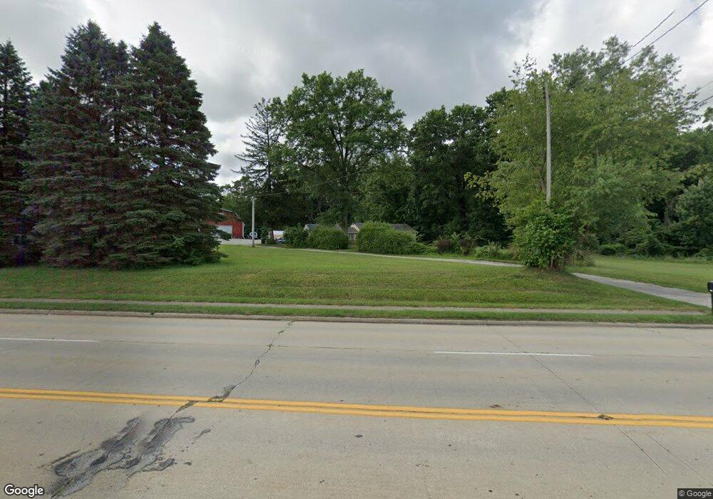
548 E Howe Rd Tallmadge, OH 44278
Estimated Value: $214,000 - $254,000
4
Beds
1
Bath
1,260
Sq Ft
$187/Sq Ft
Est. Value
About This Home
This home is located at 548 E Howe Rd, Tallmadge, OH 44278 and is currently estimated at $235,431, approximately $186 per square foot. 548 E Howe Rd is a home located in Summit County with nearby schools including Tallmadge Middle School, Tallmadge High School, and Cornerstone Community School.
Ownership History
Date
Name
Owned For
Owner Type
Purchase Details
Closed on
Oct 14, 2016
Sold by
Headrick Donald E and Headrick Donna J
Bought by
Hope Property Management Llc
Current Estimated Value
Home Financials for this Owner
Home Financials are based on the most recent Mortgage that was taken out on this home.
Interest Rate
3.47%
Purchase Details
Closed on
Oct 15, 2004
Sold by
Cooper Anna M
Bought by
Headrick Donald E and Headrick Donna J
Create a Home Valuation Report for This Property
The Home Valuation Report is an in-depth analysis detailing your home's value as well as a comparison with similar homes in the area
Home Values in the Area
Average Home Value in this Area
Purchase History
| Date | Buyer | Sale Price | Title Company |
|---|---|---|---|
| Hope Property Management Llc | -- | -- | |
| Headrick Donald E | $90,000 | Commerce Title Company |
Source: Public Records
Mortgage History
| Date | Status | Borrower | Loan Amount |
|---|---|---|---|
| Closed | Hope Property Management Llc | -- |
Source: Public Records
Tax History Compared to Growth
Tax History
| Year | Tax Paid | Tax Assessment Tax Assessment Total Assessment is a certain percentage of the fair market value that is determined by local assessors to be the total taxable value of land and additions on the property. | Land | Improvement |
|---|---|---|---|---|
| 2025 | $3,444 | $64,775 | $16,643 | $48,132 |
| 2024 | $3,444 | $64,775 | $16,643 | $48,132 |
| 2023 | $3,444 | $64,775 | $16,643 | $48,132 |
| 2022 | $3,350 | $51,447 | $12,803 | $38,644 |
| 2021 | $3,364 | $51,447 | $12,803 | $38,644 |
| 2020 | $3,340 | $51,440 | $12,800 | $38,640 |
| 2019 | $2,786 | $38,030 | $14,700 | $23,330 |
| 2018 | $2,478 | $38,030 | $14,700 | $23,330 |
| 2017 | $2,437 | $38,030 | $14,700 | $23,330 |
| 2016 | $2,612 | $36,960 | $14,700 | $22,260 |
| 2015 | $2,437 | $36,960 | $14,700 | $22,260 |
| 2014 | $2,422 | $36,960 | $14,700 | $22,260 |
| 2013 | $2,065 | $31,750 | $14,700 | $17,050 |
Source: Public Records
Map
Nearby Homes
- 0 Northeast Ave Unit 5114314
- 557 Wring Dr
- 617 Northeast Ave
- 313 Whittlesey Dr
- 532 Beverly Dr
- 0 North Ave Unit 5116540
- 779 Atwood Dr
- 617 North Ave
- 368 Knollwood Ave
- 528 Fernwood Ave
- 0 East Ave
- 1072 Carol Ln
- 736 Craig Dr
- 185 Reserve Dr
- 999 Howard Dr
- 71 Steeplechase Ln
- 481 Buttevant Dr
- 465 Spring Grove Dr
- 211 Cherry Ridge Unit 33
- 98 Benjamin Way
- 570 E Howe Rd
- 538 E Howe Rd
- 587 E Howe Rd
- 781 Northeast Ave
- 518 E Howe Rd
- 528 E Howe Rd
- 799 Northeast Ave
- 789 Northeast Ave
- 508 E Howe Rd
- 809 Northeast Ave
- 596 E Howe Rd
- 817 Northeast Ave
- 769 Northeast Ave
- 827 Northeast Ave
- 837 Northeast Ave
- 751 Northeast Ave
- 496 E Howe Rd
- 631 E Howe Rd
- 847 Northeast Ave
- 741 Northeast Ave
