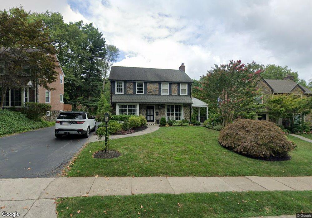
548 Howe Rd Merion Station, PA 19066
Estimated Value: $945,406 - $1,079,000
4
Beds
3
Baths
2,398
Sq Ft
$420/Sq Ft
Est. Value
About This Home
This home is located at 548 Howe Rd, Merion Station, PA 19066 and is currently estimated at $1,008,102, approximately $420 per square foot. 548 Howe Rd is a home located in Montgomery County with nearby schools including Cynwyd School, Bala-Cynwyd Middle School, and Lower Merion High School.
Ownership History
Date
Name
Owned For
Owner Type
Purchase Details
Closed on
Sep 21, 2018
Sold by
Oldstein Robert L and Oldstein Nita L
Bought by
Silk Jason B and Silk Lisa
Current Estimated Value
Home Financials for this Owner
Home Financials are based on the most recent Mortgage that was taken out on this home.
Original Mortgage
$160,750
Outstanding Balance
$140,184
Interest Rate
4.5%
Mortgage Type
New Conventional
Estimated Equity
$867,918
Purchase Details
Closed on
Apr 12, 1984
Bought by
Oldstein Robert L and Oldstein Nita L
Create a Home Valuation Report for This Property
The Home Valuation Report is an in-depth analysis detailing your home's value as well as a comparison with similar homes in the area
Home Values in the Area
Average Home Value in this Area
Purchase History
| Date | Buyer | Sale Price | Title Company |
|---|---|---|---|
| Silk Jason B | $643,000 | None Available | |
| Oldstein Robert L | $137,000 | -- |
Source: Public Records
Mortgage History
| Date | Status | Borrower | Loan Amount |
|---|---|---|---|
| Open | Silk Jason B | $160,750 | |
| Open | Silk Jason B | $450,100 |
Source: Public Records
Tax History Compared to Growth
Tax History
| Year | Tax Paid | Tax Assessment Tax Assessment Total Assessment is a certain percentage of the fair market value that is determined by local assessors to be the total taxable value of land and additions on the property. | Land | Improvement |
|---|---|---|---|---|
| 2025 | $10,685 | $255,850 | $113,360 | $142,490 |
| 2024 | $10,685 | $255,850 | $113,360 | $142,490 |
| 2023 | $10,240 | $255,850 | $113,360 | $142,490 |
| 2022 | $10,050 | $255,850 | $113,360 | $142,490 |
| 2021 | $9,821 | $255,850 | $113,360 | $142,490 |
| 2020 | $9,581 | $255,850 | $113,360 | $142,490 |
| 2019 | $9,412 | $255,850 | $113,360 | $142,490 |
| 2018 | $9,412 | $255,850 | $113,360 | $142,490 |
| 2017 | $9,066 | $255,850 | $113,360 | $142,490 |
| 2016 | $8,966 | $255,850 | $113,360 | $142,490 |
| 2015 | $8,360 | $255,850 | $113,360 | $142,490 |
| 2014 | $8,360 | $255,850 | $113,360 | $142,490 |
Source: Public Records
Map
Nearby Homes
- 650 Revere Rd
- 508 Lafayette Rd
- 623 Broad Acres Rd
- 51 Academy Rd
- 534 Ott Rd
- 19 Rock Hill Rd Unit 7-D
- 717 Stradone Rd
- 275 Brookway Rd
- 346 Winding Way
- 1140 Greentree Ln
- 603 Old Gulph Rd
- 42 Madison Ave Unit 272
- 216 N Narberth Ave
- 116 E Princeton Rd
- 404 Merwyn Rd
- 345 Valley Rd
- 101 Montgomery Ave Unit A-5
- 354 Trevor Ln
- 180 School St
- 135 Cornell Rd
- 546 Howe Rd
- 552 Howe Rd
- 250 Hamilton Rd Unit 254
- 559 Lafayette Rd
- 544 Howe Rd
- 555 Lafayette Rd
- 551 Howe Rd
- 547 Howe Rd
- 251 Hamilton Rd
- 545 Howe Rd
- 247 Hamilton Rd
- 551 Lafayette Rd
- 243 Hamilton Rd
- 541 Howe Rd
- 251 Standish Rd
- 603 Lafayette Rd
- 241 Hamilton Rd
- 558 Lafayette Rd
- 253 Standish Rd
- 547 Lafayette Rd