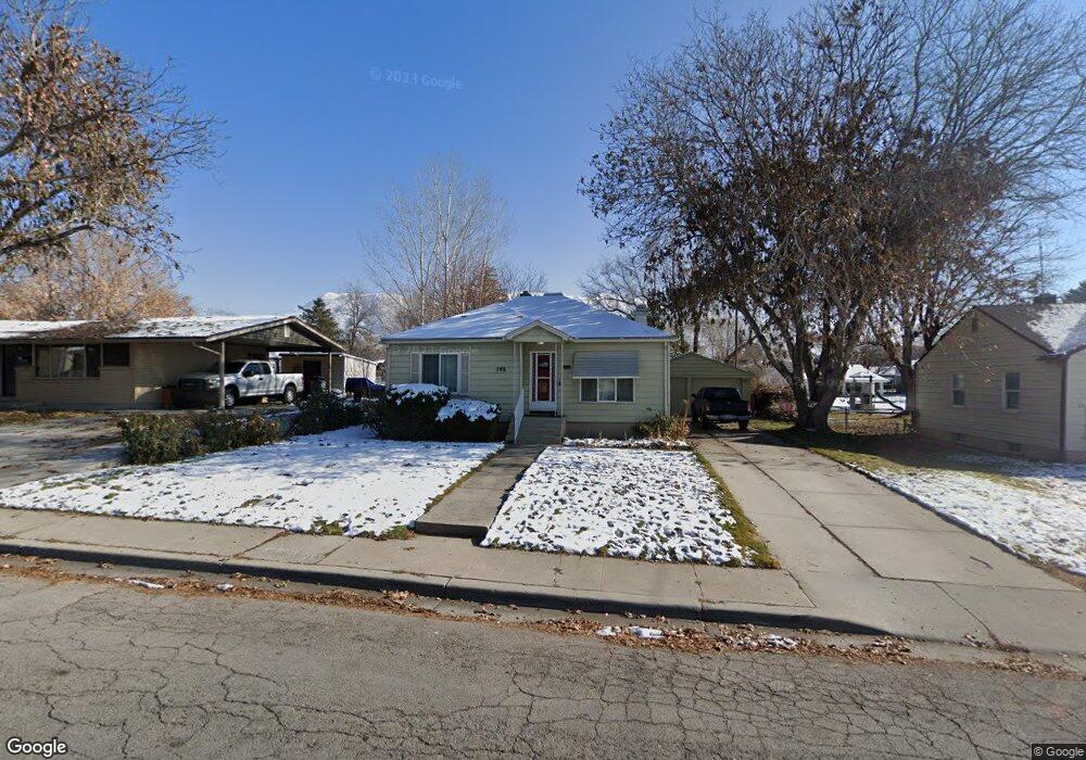
548 N 350 W American Fork, UT 84003
Estimated Value: $425,000 - $488,000
3
Beds
2
Baths
2,130
Sq Ft
$213/Sq Ft
Est. Value
About This Home
This home is located at 548 N 350 W, American Fork, UT 84003 and is currently estimated at $454,684, approximately $213 per square foot. 548 N 350 W is a home located in Utah County with nearby schools including Shelley Elementary School, American Fork Junior High School, and American Fork High School.
Ownership History
Date
Name
Owned For
Owner Type
Purchase Details
Closed on
Oct 17, 2022
Sold by
Margaret B Ceccherini Family Trust
Bought by
Anderson Jon Thomas and Anderson Emily
Current Estimated Value
Home Financials for this Owner
Home Financials are based on the most recent Mortgage that was taken out on this home.
Original Mortgage
$380,000
Outstanding Balance
$367,268
Interest Rate
6.7%
Mortgage Type
New Conventional
Estimated Equity
$87,416
Purchase Details
Closed on
Jun 21, 2016
Sold by
Ceccherini Margaret B
Bought by
Margaret B Ceccherini Family Trust
Purchase Details
Closed on
Dec 29, 1998
Sold by
Ceecherini Margaret B and Ceccherini Margaret B
Bought by
Ceccherini Margaret B
Purchase Details
Closed on
Sep 21, 1998
Sold by
Benson Clay M and Benson Luana T
Bought by
Cheecherini Margaret B
Home Financials for this Owner
Home Financials are based on the most recent Mortgage that was taken out on this home.
Original Mortgage
$86,600
Interest Rate
6.88%
Create a Home Valuation Report for This Property
The Home Valuation Report is an in-depth analysis detailing your home's value as well as a comparison with similar homes in the area
Home Values in the Area
Average Home Value in this Area
Purchase History
| Date | Buyer | Sale Price | Title Company |
|---|---|---|---|
| Anderson Jon Thomas | -- | Metro National Title | |
| Margaret B Ceccherini Family Trust | -- | None Listed On Document | |
| Ceccherini Margaret B | -- | First American Title Co | |
| Cheecherini Margaret B | -- | -- |
Source: Public Records
Mortgage History
| Date | Status | Borrower | Loan Amount |
|---|---|---|---|
| Open | Anderson Jon Thomas | $380,000 | |
| Previous Owner | Cheecherini Margaret B | $86,600 |
Source: Public Records
Tax History Compared to Growth
Tax History
| Year | Tax Paid | Tax Assessment Tax Assessment Total Assessment is a certain percentage of the fair market value that is determined by local assessors to be the total taxable value of land and additions on the property. | Land | Improvement |
|---|---|---|---|---|
| 2025 | $1,904 | $240,185 | $191,600 | $245,100 |
| 2024 | $1,904 | $211,585 | $0 | $0 |
| 2023 | $1,737 | $204,655 | $0 | $0 |
| 2022 | $1,793 | $208,450 | $0 | $0 |
| 2021 | $1,529 | $277,700 | $137,500 | $140,200 |
| 2020 | $1,428 | $251,400 | $122,800 | $128,600 |
| 2019 | $1,284 | $233,900 | $105,300 | $128,600 |
| 2018 | $1,186 | $206,500 | $94,700 | $111,800 |
| 2017 | $1,174 | $110,385 | $0 | $0 |
| 2016 | $1,141 | $99,660 | $0 | $0 |
| 2015 | $1,106 | $91,630 | $0 | $0 |
| 2014 | $1,081 | $88,385 | $0 | $0 |
Source: Public Records
Map
Nearby Homes
- 540 N 300 W
- 641 N 420 W
- 356 N 480 W
- 621 N 100 W
- 782 N 200 W
- 796 N 200 W
- 365 N 100 W
- 370 W Pacific Dr Unit 1
- 399 W Pacific Dr
- 914 N 400 W Unit A
- 3889 W 950 Cir N Unit 366
- 984 N 300 W
- 602 W 860 N
- 374 N Center St
- 987 N 410 W
- 962 N 780 St W Unit 508
- 974 N 780 St W Unit 509
- 916 N 780 St W Unit 501
- 777 W State Rd
- 183 E 760 St N