548 Parnell Place Philadelphia, PA 19144
East Germantown NeighborhoodEstimated Value: $159,000 - $192,000
3
Beds
1
Bath
1,152
Sq Ft
$148/Sq Ft
Est. Value
About This Home
This home is located at 548 Parnell Place, Philadelphia, PA 19144 and is currently estimated at $170,175, approximately $147 per square foot. 548 Parnell Place is a home located in Philadelphia County with nearby schools including Roosevelt Theodore Middle School, Oak Street Elementary School, and Martin Luther King High School.
Ownership History
Date
Name
Owned For
Owner Type
Purchase Details
Closed on
Feb 20, 2003
Sold by
Gisondi Albert M and Estate Of Albert M Gisondi Sr
Bought by
Price Jamiya
Current Estimated Value
Home Financials for this Owner
Home Financials are based on the most recent Mortgage that was taken out on this home.
Original Mortgage
$67,400
Outstanding Balance
$28,502
Interest Rate
5.9%
Mortgage Type
FHA
Estimated Equity
$141,673
Create a Home Valuation Report for This Property
The Home Valuation Report is an in-depth analysis detailing your home's value as well as a comparison with similar homes in the area
Home Values in the Area
Average Home Value in this Area
Purchase History
| Date | Buyer | Sale Price | Title Company |
|---|---|---|---|
| Price Jamiya | $68,000 | -- |
Source: Public Records
Mortgage History
| Date | Status | Borrower | Loan Amount |
|---|---|---|---|
| Open | Price Jamiya | $67,400 |
Source: Public Records
Tax History Compared to Growth
Tax History
| Year | Tax Paid | Tax Assessment Tax Assessment Total Assessment is a certain percentage of the fair market value that is determined by local assessors to be the total taxable value of land and additions on the property. | Land | Improvement |
|---|---|---|---|---|
| 2026 | $1,533 | $153,700 | $30,740 | $122,960 |
| 2025 | $1,533 | $153,700 | $30,740 | $122,960 |
| 2024 | $1,533 | $153,700 | $30,740 | $122,960 |
| 2023 | $1,533 | $109,500 | $21,900 | $87,600 |
| 2022 | $945 | $109,500 | $21,900 | $87,600 |
| 2021 | $945 | $0 | $0 | $0 |
| 2020 | $945 | $0 | $0 | $0 |
| 2019 | $987 | $0 | $0 | $0 |
| 2018 | $1,100 | $0 | $0 | $0 |
| 2017 | $1,100 | $0 | $0 | $0 |
| 2016 | $1,100 | $0 | $0 | $0 |
| 2015 | $1,068 | $0 | $0 | $0 |
| 2014 | -- | $79,700 | $6,890 | $72,810 |
| 2012 | -- | $13,024 | $2,084 | $10,940 |
Source: Public Records
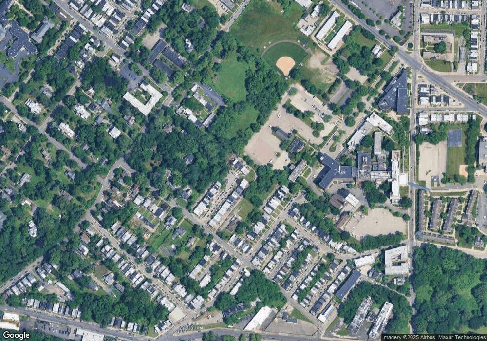
Map
Nearby Homes
- 529 E Queen Ln
- 540 E Ashmead St
- 604 E Locust Ave
- 5301 Belfield Ave
- 5502 Crowson St
- 543 E Locust Ave
- 617 E Locust Ave
- 5610 Mcmahon St
- 5357 Belfield Ave
- 5626 Mcmahon St
- 1000 E Woodlawn St
- 2110 W Chew Ave
- 5625 Crowson St
- 809 E Locust Ave
- 851 Church Ln
- 83 E Ashmead St
- 5767 N Beechwood St
- 5688 90 Magnolia St
- 436 E Chelten Ave
- 5638 Morton St
- 546 Parnell Place
- 547 Parnell Place
- 545 Parnell Place
- 543 Parnell Place
- 544 Parnell Place
- 541 Parnell Place
- 542 Parnell Place
- 540 Parnell Place
- 538 Parnell Place
- 536 Parnell Place
- 534 Parnell Place
- 532 Parnell Place
- 529 Parnell Place
- 530 Parnell Place
- 528 Parnell Place
- 526 Parnell Place
- 527 Parnell Place
- 524 Parnell Place
- 525 Parnell Place
- 522 Parnell Place
