Estimated Value: $204,235 - $249,000
3
Beds
1
Bath
962
Sq Ft
$228/Sq Ft
Est. Value
About This Home
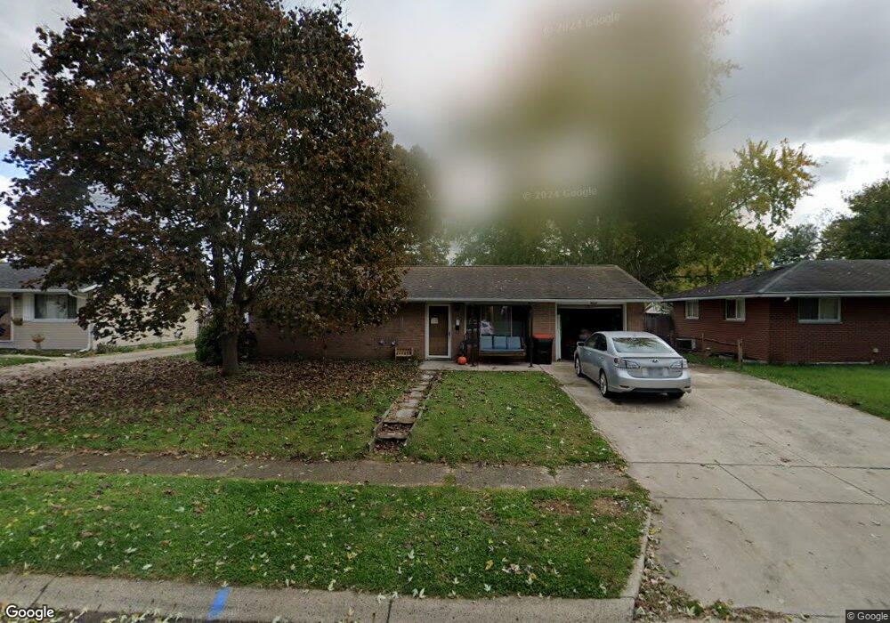
This home is located at 548 Partridge Rd, Heath, OH 43056 and is currently estimated at $219,559, approximately $228 per square foot. 548 Partridge Rd is a home located in Licking County with nearby schools including Garfield Elementary School, Stevenson Elementary School, and Heath Middle School.
Ownership History
Date
Name
Owned For
Owner Type
Purchase Details
Closed on
Apr 7, 2004
Sold by
Murphy Scott E and Murphy Tammy Sue
Bought by
Sutton Thomas Richard
Current Estimated Value
Home Financials for this Owner
Home Financials are based on the most recent Mortgage that was taken out on this home.
Original Mortgage
$90,250
Outstanding Balance
$42,441
Interest Rate
5.65%
Mortgage Type
Unknown
Estimated Equity
$177,118
Purchase Details
Closed on
Jan 7, 2004
Sold by
Murphy Lisa A
Bought by
Murphy Scott E
Purchase Details
Closed on
Jan 27, 1998
Sold by
Hockingberry Larry L
Bought by
Murphy Scott E and Murphy Lisa A
Home Financials for this Owner
Home Financials are based on the most recent Mortgage that was taken out on this home.
Original Mortgage
$68,426
Interest Rate
7.24%
Mortgage Type
FHA
Create a Home Valuation Report for This Property
The Home Valuation Report is an in-depth analysis detailing your home's value as well as a comparison with similar homes in the area
Home Values in the Area
Average Home Value in this Area
Purchase History
| Date | Buyer | Sale Price | Title Company |
|---|---|---|---|
| Sutton Thomas Richard | $93,000 | -- | |
| Murphy Scott E | -- | -- | |
| Murphy Scott E | $68,771 | -- |
Source: Public Records
Mortgage History
| Date | Status | Borrower | Loan Amount |
|---|---|---|---|
| Open | Sutton Thomas Richard | $90,250 | |
| Previous Owner | Murphy Scott E | $68,426 |
Source: Public Records
Tax History
| Year | Tax Paid | Tax Assessment Tax Assessment Total Assessment is a certain percentage of the fair market value that is determined by local assessors to be the total taxable value of land and additions on the property. | Land | Improvement |
|---|---|---|---|---|
| 2024 | $2,112 | $49,070 | $16,870 | $32,200 |
| 2023 | $2,337 | $49,070 | $16,870 | $32,200 |
| 2022 | $2,145 | $39,550 | $8,750 | $30,800 |
| 2021 | $2,189 | $39,550 | $8,750 | $30,800 |
| 2020 | $2,203 | $39,550 | $8,750 | $30,800 |
| 2019 | $1,846 | $33,740 | $10,920 | $22,820 |
| 2018 | $1,866 | $0 | $0 | $0 |
| 2017 | $1,803 | $0 | $0 | $0 |
| 2016 | $1,712 | $0 | $0 | $0 |
| 2015 | $1,742 | $0 | $0 | $0 |
| 2014 | $2,448 | $0 | $0 | $0 |
| 2013 | $1,692 | $0 | $0 | $0 |
Source: Public Records
Map
Nearby Homes
- 101 Fieldpoint Rd
- 514 S 30th St
- 18 Swainford Dr
- 231 Fieldpoint Rd
- 224 Walden Rd
- 780 Fieldson Dr
- 944 Fieldson Dr
- 233 Wildwood Ct Unit 233C
- 1223 W Main St
- 164 Licking View Dr
- 915 W Main St
- 452 Saint James Gate
- 67 N 31st St
- 616 Huron Dr
- 132 Cambria St
- 139 N 26th St
- 149 Maholm St
- 30 Neal Ave
- 69 N Terrace Ave
- 114-116 Maholm St
- 542 Partridge Rd
- 554 Partridge Rd
- 547 Woodland Dr
- 560 Partridge Rd
- 553 Woodland Dr
- 541 Woodland Dr
- 559 Woodland Dr
- 543 Partridge Rd
- 551 Partridge Rd
- 530 Partridge Rd
- 566 Partridge Rd
- 539 Partridge Rd
- 533 Woodland Dr
- 557 Partridge Rd
- 567 Woodland Dr
- 563 Partridge Rd
- 524 Partridge Rd
- 527 Woodland Dr
- 572 Partridge Rd
- 527 Partridge Rd
Your Personal Tour Guide
Ask me questions while you tour the home.