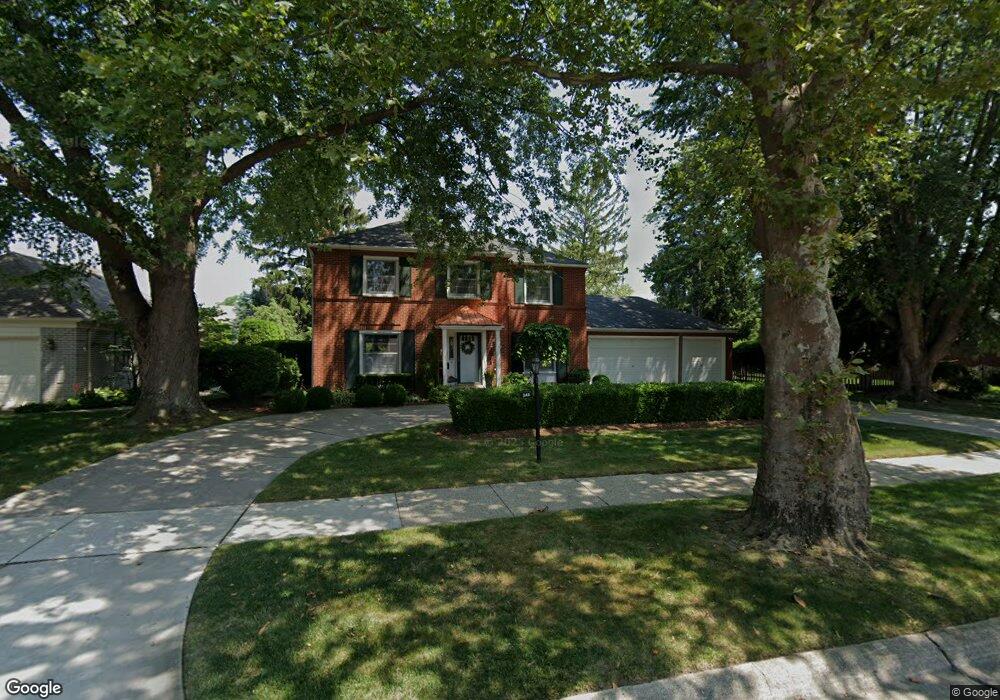
548 Pear Tree Ln Grosse Pointe Woods, MI 48236
Estimated Value: $632,025 - $745,000
3
Beds
4
Baths
3,200
Sq Ft
$219/Sq Ft
Est. Value
About This Home
This home is located at 548 Pear Tree Ln, Grosse Pointe Woods, MI 48236 and is currently estimated at $700,756, approximately $218 per square foot. 548 Pear Tree Ln is a home located in Wayne County with nearby schools including John Monteith Elementary School, Parcells Middle School, and Grosse Pointe North High School.
Ownership History
Date
Name
Owned For
Owner Type
Purchase Details
Closed on
May 18, 2021
Sold by
Colby Sally Snethkamp and Colby Henry H
Bought by
Colby Henry H and Colby Sally A
Current Estimated Value
Home Financials for this Owner
Home Financials are based on the most recent Mortgage that was taken out on this home.
Original Mortgage
$216,125
Interest Rate
2.9%
Mortgage Type
New Conventional
Purchase Details
Closed on
Mar 16, 2018
Sold by
Snethkamp Sally A
Bought by
Coby Henry H
Create a Home Valuation Report for This Property
The Home Valuation Report is an in-depth analysis detailing your home's value as well as a comparison with similar homes in the area
Home Values in the Area
Average Home Value in this Area
Purchase History
| Date | Buyer | Sale Price | Title Company |
|---|---|---|---|
| Colby Henry H | -- | Amrock Llc | |
| Coby Henry H | -- | None Available |
Source: Public Records
Mortgage History
| Date | Status | Borrower | Loan Amount |
|---|---|---|---|
| Closed | Colby Henry H | $216,125 |
Source: Public Records
Tax History Compared to Growth
Tax History
| Year | Tax Paid | Tax Assessment Tax Assessment Total Assessment is a certain percentage of the fair market value that is determined by local assessors to be the total taxable value of land and additions on the property. | Land | Improvement |
|---|---|---|---|---|
| 2025 | $6,677 | $295,400 | $0 | $0 |
| 2024 | $6,677 | $274,500 | $0 | $0 |
| 2023 | $6,421 | $260,900 | $0 | $0 |
| 2022 | $10,057 | $262,900 | $0 | $0 |
| 2021 | $9,587 | $257,800 | $0 | $0 |
| 2020 | $9,871 | $250,800 | $0 | $0 |
| 2019 | $5,845 | $241,600 | $0 | $0 |
| 2018 | $5,744 | $220,900 | $0 | $0 |
| 2017 | $6,675 | $215,200 | $0 | $0 |
| 2016 | $9,100 | $203,900 | $0 | $0 |
| 2015 | $15,772 | $177,500 | $0 | $0 |
| 2013 | $15,070 | $154,100 | $0 | $0 |
| 2012 | -- | $150,400 | $29,600 | $120,800 |
Source: Public Records
Map
Nearby Homes
- 535 Ballantyne Rd
- 59 Fordcroft St
- 720 Fairford Rd
- 809 Fairford Rd
- 745- 749 Lake Shore Rd
- 475 Lake Shore Rd
- 565 Lochmoor Blvd
- 587 Lochmoor Blvd
- 499 Sunningdale Dr
- 963 Lochmoor Blvd
- 622 Sunningdale Dr
- 410 Roland Ct
- 528 Hidden Ln
- 343 Beaupre Ave
- 54 Belle Meade St
- 463 Colonial Ct
- 81 Moross Rd
- 340 Kercheval Ave
- 486 Bournemouth Rd
- 419 Maison Rd
- 570 Pear Tree Ln
- 500 Pear Tree Ln
- 557 Thorn Tree Rd
- 577 Thorn Tree Rd
- 563 Thorn Tree Rd
- 583 Thorn Tree Rd
- 565 Pear Tree Ln
- 545 Pear Tree Ln
- 594 Pear Tree Ln
- 585 Pear Tree Ln
- 595 Thorn Tree Rd
- 525 Thorn Tree Rd
- 519 E Deeplands Lane Lot# 10
- 597 Pear Tree Ln
- 2 N Deeplands Rd
- 517 W Deeplands Lane Lot#3
- 512 Deeplands Rd Unit 5
- 524 Deeplands Rd Unit 8
- 523 Deeplands Rd Unit 9
- 519 Deeplands Rd Unit 10