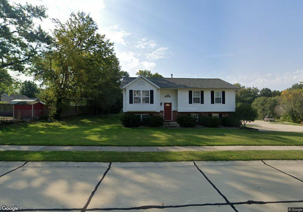
548 Pennsylvania St Collinsville, IL 62234
Estimated Value: $222,000 - $256,000
3
Beds
2
Baths
1,050
Sq Ft
$229/Sq Ft
Est. Value
About This Home
This home is located at 548 Pennsylvania St, Collinsville, IL 62234 and is currently estimated at $240,619, approximately $229 per square foot. 548 Pennsylvania St is a home located in Madison County with nearby schools including John A Renfro Elementary School, Dorris Intermediate School, and Collinsville Middle School.
Ownership History
Date
Name
Owned For
Owner Type
Purchase Details
Closed on
May 13, 2004
Sold by
Osborn Homes Inc
Bought by
Sullivan Linda L
Current Estimated Value
Home Financials for this Owner
Home Financials are based on the most recent Mortgage that was taken out on this home.
Original Mortgage
$116,900
Outstanding Balance
$54,810
Interest Rate
5.5%
Mortgage Type
Purchase Money Mortgage
Estimated Equity
$185,809
Create a Home Valuation Report for This Property
The Home Valuation Report is an in-depth analysis detailing your home's value as well as a comparison with similar homes in the area
Home Values in the Area
Average Home Value in this Area
Purchase History
| Date | Buyer | Sale Price | Title Company |
|---|---|---|---|
| Sullivan Linda L | $139,000 | Abstracts & Titles Inc |
Source: Public Records
Mortgage History
| Date | Status | Borrower | Loan Amount |
|---|---|---|---|
| Open | Sullivan Linda L | $116,900 |
Source: Public Records
Tax History Compared to Growth
Tax History
| Year | Tax Paid | Tax Assessment Tax Assessment Total Assessment is a certain percentage of the fair market value that is determined by local assessors to be the total taxable value of land and additions on the property. | Land | Improvement |
|---|---|---|---|---|
| 2024 | $3,595 | $62,240 | $14,650 | $47,590 |
| 2023 | $3,322 | $56,470 | $13,330 | $43,140 |
| 2022 | $3,322 | $52,220 | $12,330 | $39,890 |
| 2021 | $2,974 | $49,060 | $11,580 | $37,480 |
| 2020 | $2,849 | $46,810 | $11,050 | $35,760 |
| 2019 | $2,635 | $43,450 | $11,790 | $31,660 |
| 2018 | $2,562 | $41,160 | $11,170 | $29,990 |
| 2017 | $2,557 | $40,340 | $10,950 | $29,390 |
| 2016 | $2,684 | $40,340 | $10,950 | $29,390 |
| 2015 | $3,257 | $39,300 | $10,670 | $28,630 |
| 2014 | $3,257 | $39,300 | $10,670 | $28,630 |
| 2013 | $3,257 | $39,300 | $10,670 | $28,630 |
Source: Public Records
Map
Nearby Homes
- 501 Spring
- 1210 Constance St
- 1227 Ridge Ave
- 1120 Williams St
- 919 Vine St
- 706 Illinois Ave
- 921 Prospect St
- 308 Brown Ave
- 892 Lester Ave
- 617 N Morrison Ave
- 203 Greenfield Dr
- 1002 California Ave
- 238 Mill St
- 1224 Cedar Ridge Ct
- 123 W Wickliffe Ave
- 404 E Church St
- 0 N Keebler Ave
- 216 S Chestnut St
- 1322 Leland St
- 102 Toni Ct
- 992 Vermont Ave
- 546 Pennsylvania St
- 547 Pennsylvania St
- 545 Pennsylvania St
- 907 Portland Ave
- 988 Vermont Ave
- 1004 Vermont Ave
- 905 Portland Ave
- 1001 Portland Ave
- 542 Pennsylvania St
- 903 Portland Ave
- 984 Vermont Ave
- 1003 Portland Ave
- 543 Pennsylvania St
- 1008 Vermont Ave
- 1005 Vermont Ave
- 540 Pennsylvania St
- 901 Portland Ave
- 541 Pennsylvania St
- 722 Osborn Dr