548 Poverty Point Rd Sneads Ferry, NC 28460
Estimated Value: $252,000 - $324,000
Studio
--
Bath
--
Sq Ft
14,375
Sq Ft Lot
About This Home
This home is located at 548 Poverty Point Rd, Sneads Ferry, NC 28460 and is currently estimated at $276,288. 548 Poverty Point Rd is a home with nearby schools including Dixon Elementary School and Dixon High School.
Create a Home Valuation Report for This Property
The Home Valuation Report is an in-depth analysis detailing your home's value as well as a comparison with similar homes in the area
Home Values in the Area
Average Home Value in this Area
Tax History
| Year | Tax Paid | Tax Assessment Tax Assessment Total Assessment is a certain percentage of the fair market value that is determined by local assessors to be the total taxable value of land and additions on the property. | Land | Improvement |
|---|---|---|---|---|
| 2025 | $1,185 | $180,888 | $173,250 | $7,638 |
| 2024 | $1,185 | $180,888 | $173,250 | $7,638 |
| 2023 | $1,185 | $180,888 | $173,250 | $7,638 |
Source: Public Records
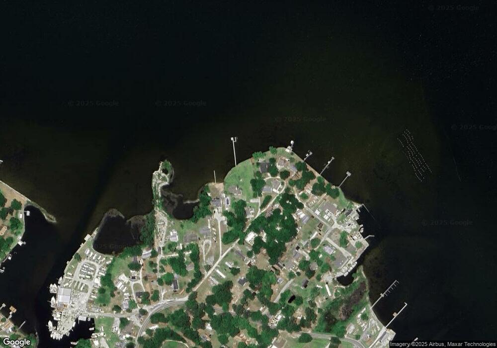
Map
Nearby Homes
- 139 Hall Point Rd
- 103 Dogwood Ln
- 222 Fulcher Landing Rd
- 175 Fulcher Landing Rd
- 534 Transom Way
- 554 Transom Way
- 574 Transom Way
- 536 Transom Way
- 200 Smallberry Ct
- 213 Lakeside Dr
- 657 Canady Rd
- 1850 N Carolina 172
- 2463 N Carolina 172
- 200 Bayside Dr
- 128 Gemstone Dr
- 109 Lawndale Ln
- 105 Katrina St
- 205 Peggys Trace
- 216 Peggy's Trace
- 122 Katrina St
- 552 Poverty Point Rd
- 546 Poverty Point Rd
- 531 Poverty Point Rd
- 538 Poverty Point Rd
- 544 Poverty Point Rd
- 542 Poverty Point Rd
- 515 Poverty Point Rd
- 515 Poverty Point Rd Unit B
- 515 Poverty Point Rd Unit A
- 513 Poverty Point Rd
- 133 Everett Ln
- 131 Everett Ln
- 133 Everett Ln
- 511 Poverty Point Rd
- 518 Poverty Point Rd
- 129 Everett Ln
- 123 Everett Ln
- 721 Millis Ln
- 119 Everett Ln
- 512 Poverty Point Rd
Your Personal Tour Guide
Ask me questions while you tour the home.