Estimated Value: $345,000 - $447,000
4
Beds
2
Baths
2,170
Sq Ft
$177/Sq Ft
Est. Value
About This Home
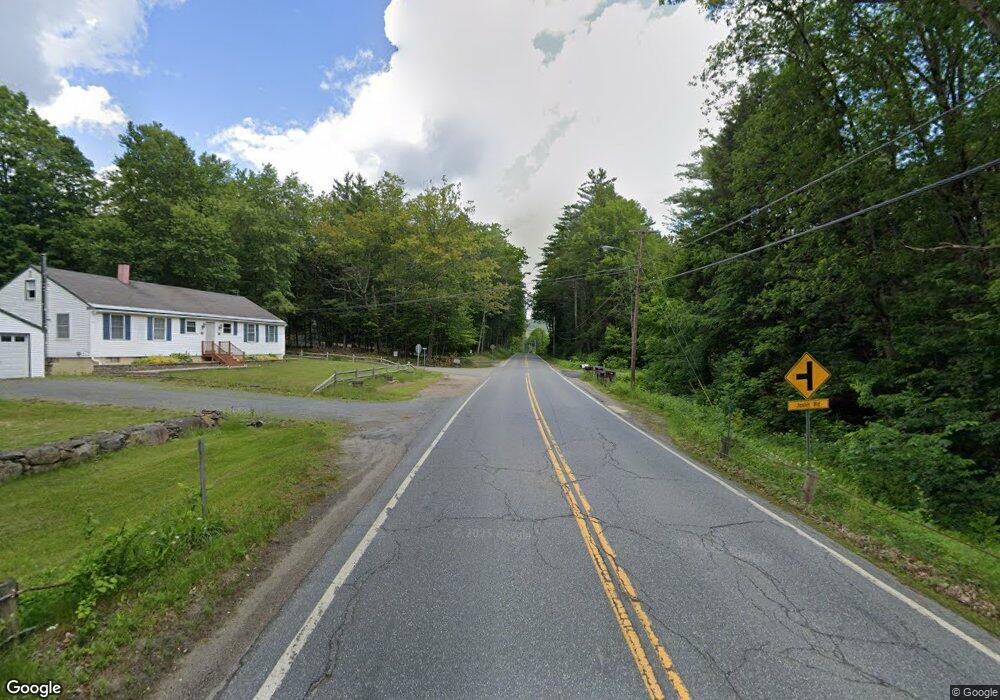
This home is located at 548 Route 12a, Keene, NH 03431 and is currently estimated at $384,016, approximately $176 per square foot. 548 Route 12a is a home with nearby schools including Alstead Primary School, Vilas Elementary School, and Fall Mountain Regional High School.
Ownership History
Date
Name
Owned For
Owner Type
Purchase Details
Closed on
Mar 8, 2022
Sold by
Reida Daniel J
Bought by
Rector Adam and Rector Emma H
Current Estimated Value
Home Financials for this Owner
Home Financials are based on the most recent Mortgage that was taken out on this home.
Original Mortgage
$237,500
Outstanding Balance
$219,088
Interest Rate
3.92%
Mortgage Type
Stand Alone Refi Refinance Of Original Loan
Estimated Equity
$164,928
Purchase Details
Closed on
Mar 20, 2014
Sold by
Weatherby Michael and Perry-Weatherby Deborah
Bought by
Schadler Jeffrey
Create a Home Valuation Report for This Property
The Home Valuation Report is an in-depth analysis detailing your home's value as well as a comparison with similar homes in the area
Purchase History
| Date | Buyer | Sale Price | Title Company |
|---|---|---|---|
| Rector Adam | $250,000 | None Available | |
| Rector Adam | $250,000 | None Available | |
| Rector Adam | $250,000 | None Available | |
| Rector Adam | $250,000 | None Available | |
| Schadler Jeffrey | $45,000 | -- | |
| Schadler Jeffrey | $45,000 | -- |
Source: Public Records
Mortgage History
| Date | Status | Borrower | Loan Amount |
|---|---|---|---|
| Open | Rector Adam | $237,500 | |
| Closed | Rector Adam | $237,500 |
Source: Public Records
Tax History
| Year | Tax Paid | Tax Assessment Tax Assessment Total Assessment is a certain percentage of the fair market value that is determined by local assessors to be the total taxable value of land and additions on the property. | Land | Improvement |
|---|---|---|---|---|
| 2024 | $5,102 | $189,100 | $69,000 | $120,100 |
| 2023 | $4,161 | $163,611 | $59,811 | $103,800 |
| 2022 | $4,031 | $163,611 | $59,811 | $103,800 |
| 2021 | $3,804 | $163,611 | $59,811 | $103,800 |
| 2020 | $3,995 | $163,596 | $59,796 | $103,800 |
| 2019 | $3,888 | $139,593 | $45,293 | $94,300 |
| 2018 | $3,465 | $128,114 | $45,514 | $82,600 |
| 2017 | $3,218 | $120,671 | $45,471 | $75,200 |
| 2016 | $2,344 | $87,096 | $45,496 | $41,600 |
| 2015 | $4,685 | $176,596 | $45,496 | $131,100 |
| 2014 | $5,139 | $215,941 | $57,241 | $158,700 |
| 2013 | $5,787 | $215,941 | $57,241 | $158,700 |
Source: Public Records
Map
Nearby Homes
- 411 Alstead Center Rd
- 400 Alstead Center Rd
- 861 Alstead Center Rd
- 00 New Hampshire 123
- 20 Shadowland Rd
- Lot 9-29 Murphy Hill Rd
- 178 North Rd
- 33 Maclean Rd
- 21 Main St
- 55 River St
- 16 Vilas Rd
- 100 River St
- 00 Rogers Rd Unit 5A
- 00 Cold River Rd Unit 3014.0
- 266 Tory Hill Rd
- 203 Winch Hill Rd
- 392 Cheshire Turnpike
- 458 Cheshire Turnpike
- 60 Dearborn Cir
- 61 North Rd
- 122 Nh Route 12a
- 538 Nh Route 12a
- 538 Route 12a
- 608 Alstead Center Rd
- 562 Route 12a
- 63 Duffy Ln
- 25 Duffy Ln
- 612 Pratt Rd
- 587 Alstead Center Rd
- 630 Pratt Rd
- 000 Vilas Rd
- 627 Pratt Rd
- 609 Pratt Rd
- 0 Old Grant Rd Unit 4363550
- 192 Valley Rd
- 27 Lake Dr
- - Heart's Desire
- 2 Bennett Rd
- 545 Pratt Rd
- 530 Pratt Rd
Your Personal Tour Guide
Ask me questions while you tour the home.