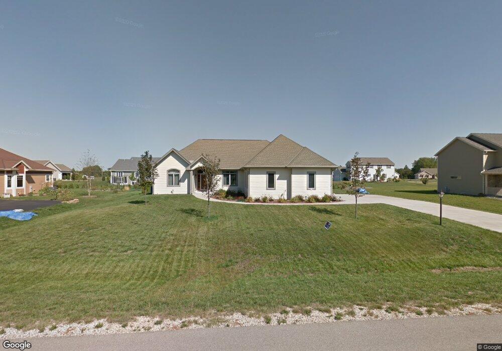
548 S Buth Rd Dousman, WI 53118
Estimated Value: $555,830 - $656,000
3
Beds
2
Baths
2,171
Sq Ft
$278/Sq Ft
Est. Value
About This Home
This home is located at 548 S Buth Rd, Dousman, WI 53118 and is currently estimated at $603,208, approximately $277 per square foot. 548 S Buth Rd is a home located in Waukesha County with nearby schools including Dousman Elementary School, Kettle Moraine Middle School, and Kettle Moraine High School.
Ownership History
Date
Name
Owned For
Owner Type
Purchase Details
Closed on
Jun 17, 2010
Sold by
Marcz Robert F
Bought by
Bagley John G and Bagley Karen A
Current Estimated Value
Home Financials for this Owner
Home Financials are based on the most recent Mortgage that was taken out on this home.
Original Mortgage
$50,000
Outstanding Balance
$31,252
Interest Rate
3.87%
Mortgage Type
New Conventional
Estimated Equity
$571,956
Create a Home Valuation Report for This Property
The Home Valuation Report is an in-depth analysis detailing your home's value as well as a comparison with similar homes in the area
Home Values in the Area
Average Home Value in this Area
Purchase History
| Date | Buyer | Sale Price | Title Company |
|---|---|---|---|
| Bagley John G | $290,000 | None Available |
Source: Public Records
Mortgage History
| Date | Status | Borrower | Loan Amount |
|---|---|---|---|
| Open | Bagley John G | $50,000 |
Source: Public Records
Tax History
| Year | Tax Paid | Tax Assessment Tax Assessment Total Assessment is a certain percentage of the fair market value that is determined by local assessors to be the total taxable value of land and additions on the property. | Land | Improvement |
|---|---|---|---|---|
| 2024 | $6,091 | $465,000 | $135,000 | $330,000 |
| 2023 | $5,694 | $405,000 | $117,000 | $288,000 |
| 2022 | $5,890 | $378,000 | $99,000 | $279,000 |
| 2021 | $5,441 | $378,000 | $99,000 | $279,000 |
| 2020 | $5,712 | $378,000 | $99,000 | $279,000 |
| 2019 | $5,261 | $292,000 | $55,000 | $237,000 |
| 2018 | $5,092 | $292,000 | $55,000 | $237,000 |
| 2017 | $5,062 | $292,000 | $55,000 | $237,000 |
| 2016 | $4,805 | $285,000 | $55,000 | $230,000 |
| 2015 | $5,092 | $297,000 | $55,000 | $242,000 |
| 2014 | $4,654 | $283,000 | $55,000 | $228,000 |
| 2013 | $4,654 | $283,000 | $55,000 | $228,000 |
Source: Public Records
Map
Nearby Homes
- 137 Twin Creeks Ct Dr
- 143 Twin Creeks Court Dr
- 584 Twin Creeks Dr
- 596 Twin Creeks Dr
- 590 Twin Creeks Dr
- Lt129 Twin Creeks Dr
- 148 Twin Creeks Ct
- 149 Twin Creeks Ct
- 337 Sand Hill Ln
- N62W35431 William Ct
- 412 E Red Pine Cir
- 244 Edwards St
- 234 Wolf Dr Unit 6B
- 228 Wolf Dr Unit 3
- Lt2 Wolf Dr
- Lt4 Wolf Dr
- 407 Ingleside Ct
- Lt3 Whitaker Ln
- Lt4 Whitaker Ln
- Lt2 Whitaker Ln
Your Personal Tour Guide
Ask me questions while you tour the home.