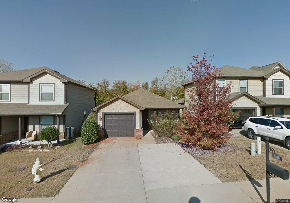
548 Union Station Place Unit 80 Calera, AL 35040
Estimated Value: $216,000 - $224,000
3
Beds
2
Baths
1,270
Sq Ft
$173/Sq Ft
Est. Value
About This Home
This home is located at 548 Union Station Place Unit 80, Calera, AL 35040 and is currently estimated at $219,897, approximately $173 per square foot. 548 Union Station Place Unit 80 is a home located in Shelby County with nearby schools including Calera Intermediate School, Calera Elementary School, and Calera Middle School.
Ownership History
Date
Name
Owned For
Owner Type
Purchase Details
Closed on
Aug 16, 2019
Sold by
Parker Melissa and Parker Marc
Bought by
Ennis Dale Craig and Ennis Paula Ann
Current Estimated Value
Home Financials for this Owner
Home Financials are based on the most recent Mortgage that was taken out on this home.
Original Mortgage
$141,414
Outstanding Balance
$123,853
Interest Rate
3.7%
Mortgage Type
New Conventional
Estimated Equity
$96,044
Purchase Details
Closed on
Jul 26, 2011
Sold by
D R Horton Inc
Bought by
Parker Melissa and Parker Marc
Home Financials for this Owner
Home Financials are based on the most recent Mortgage that was taken out on this home.
Original Mortgage
$113,886
Interest Rate
4.52%
Mortgage Type
New Conventional
Purchase Details
Closed on
Jun 15, 2010
Sold by
Union Station Llc
Bought by
D R Horton Inc Birmingham
Create a Home Valuation Report for This Property
The Home Valuation Report is an in-depth analysis detailing your home's value as well as a comparison with similar homes in the area
Home Values in the Area
Average Home Value in this Area
Purchase History
| Date | Buyer | Sale Price | Title Company |
|---|---|---|---|
| Ennis Dale Craig | $140,000 | Smith Closing & Title Llc | |
| Parker Melissa | $109,900 | None Available | |
| D R Horton Inc Birmingham | -- | None Available |
Source: Public Records
Mortgage History
| Date | Status | Borrower | Loan Amount |
|---|---|---|---|
| Open | Ennis Dale Craig | $141,414 | |
| Previous Owner | Parker Melissa | $113,886 |
Source: Public Records
Tax History Compared to Growth
Tax History
| Year | Tax Paid | Tax Assessment Tax Assessment Total Assessment is a certain percentage of the fair market value that is determined by local assessors to be the total taxable value of land and additions on the property. | Land | Improvement |
|---|---|---|---|---|
| 2024 | $1,008 | $18,660 | $0 | $0 |
| 2023 | $694 | $18,060 | $0 | $0 |
| 2022 | $694 | $14,920 | $0 | $0 |
| 2021 | $641 | $13,820 | $0 | $0 |
| 2020 | $425 | $12,900 | $0 | $0 |
| 2019 | $0 | $12,260 | $0 | $0 |
| 2017 | $0 | $11,420 | $0 | $0 |
| 2015 | -- | $11,000 | $0 | $0 |
| 2014 | -- | $11,140 | $0 | $0 |
Source: Public Records
Map
Nearby Homes
- 511 Union Station Place
- 212 Creekstone Trail
- 173 Union Station Dr
- 157 Union Station Dr
- 316 Union Station Way
- 253 Union Station Dr
- 205 the Heights Dr
- 589 Waterstone Dr
- 112 Stonecreek Place
- 5714 Smokey Rd
- 623 the Heights Ln
- 656 the Heights Ln
- 796 Michelle Manor
- 562 the Heights Ln
- 2051 Rossburg Place
- 302 Nottingham Dr
- 244 Koslin Loop
- 124 Aberdeen Loop
- The Penwell Plan at Koslin Farms
- The Hayden Plan at Koslin Farms
- 548 Union Station Place
- 552 Union Station Place
- 552 Union Station Place Unit 79
- 544 Union Station Place
- 544 Union Station Place Unit 81
- 556 Union Station Place
- 540 Union Station Place
- 560 Union Station Place
- 536 Union Station Place
- 536 Union Station Place Unit 83
- 193 Creekstone Trail
- 193 Creekstone Tr
- 564 Union Station Place
- 205 Creekstone Trail
- 197 Creekstone Trail
- 567 Union Station Place Unit 99
- 189 Creekstone Trail
- 209 Creekstone Trail
- 515 Union Station Place
- 185 Creekstone Trail