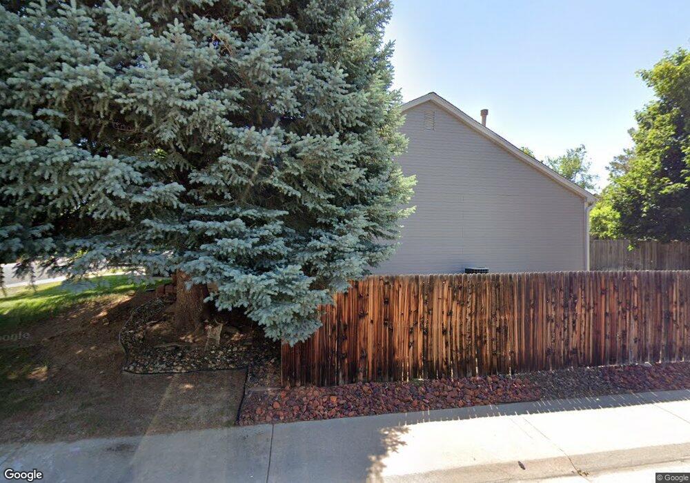
548 W Lois Way Louisville, CO 80027
Estimated Value: $614,000 - $734,000
3
Beds
1
Bath
960
Sq Ft
$692/Sq Ft
Est. Value
About This Home
This home is located at 548 W Lois Way, Louisville, CO 80027 and is currently estimated at $663,951, approximately $691 per square foot. 548 W Lois Way is a home located in Boulder County with nearby schools including Fireside Elementary School, Monarch K-8 School, and Monarch High School.
Ownership History
Date
Name
Owned For
Owner Type
Purchase Details
Closed on
Nov 2, 2024
Sold by
Martinez John L and Martinez Nancy Jo
Bought by
John And Nancy Martinez Family Trust
Current Estimated Value
Purchase Details
Closed on
Oct 8, 2009
Sold by
Martinez John L and Martinez Nancy Jo
Bought by
Martinez John L
Purchase Details
Closed on
Nov 26, 2005
Sold by
Martinez John L and Martinez Nancy Jo
Bought by
Martinez John L
Create a Home Valuation Report for This Property
The Home Valuation Report is an in-depth analysis detailing your home's value as well as a comparison with similar homes in the area
Home Values in the Area
Average Home Value in this Area
Purchase History
| Date | Buyer | Sale Price | Title Company |
|---|---|---|---|
| John And Nancy Martinez Family Trust | $500 | None Listed On Document | |
| John And Nancy Martinez Family Trust | $500 | None Listed On Document | |
| Martinez John L | -- | None Available | |
| Martinez John L | -- | -- |
Source: Public Records
Tax History Compared to Growth
Tax History
| Year | Tax Paid | Tax Assessment Tax Assessment Total Assessment is a certain percentage of the fair market value that is determined by local assessors to be the total taxable value of land and additions on the property. | Land | Improvement |
|---|---|---|---|---|
| 2025 | $2,852 | $39,544 | $18,213 | $21,331 |
| 2024 | $2,852 | $39,544 | $18,213 | $21,331 |
| 2023 | $2,804 | $38,431 | $19,283 | $22,834 |
| 2022 | $2,333 | $31,192 | $14,477 | $16,715 |
| 2021 | $2,467 | $33,784 | $15,680 | $18,104 |
| 2020 | $2,226 | $30,939 | $12,656 | $18,283 |
| 2019 | $2,195 | $30,939 | $12,656 | $18,283 |
| 2018 | $1,580 | $24,883 | $8,496 | $16,387 |
| 2017 | $1,548 | $27,510 | $9,393 | $18,117 |
| 2016 | $1,536 | $25,424 | $10,189 | $15,235 |
| 2015 | $1,456 | $21,859 | $12,020 | $9,839 |
| 2014 | $1,188 | $21,859 | $12,020 | $9,839 |
Source: Public Records
Map
Nearby Homes
- 159 S Polk Ave
- 641 W Dahlia St
- 408 Fillmore Ct
- 291 W Sycamore Ln
- 118 S Tanager Ct
- 592 Spruce Cir
- 284 S Taft Ct Unit 76
- 494 Owl Dr Unit 4
- 279 S Taft Ct Unit 53
- 362 S Taft Ct Unit 108
- 323 S Taft Ct Unit 26
- 305 S Taft Ct Unit 33
- 539 Coal Creek Ln
- 203 Springs Dr
- 426 W Spruce Ln
- 812 W Mulberry St
- 567 Manorwood Ln
- 749 Apple Ct
- 474 W Spruce St
- 593 Wildrose Way
- 542 W Lois Way
- 549 W Fir Way
- 545 W Fir Way
- 540 W Lois Way
- 161 S Tyler Ave
- 155 S Tyler Ave
- 167 S Tyler Ave
- 547 W Lois Way
- 537 W Fir Way
- 543 W Lois Way
- 532 W Lois Way
- 149 S Tyler Ave
- 175 S Tyler Ave
- 539 W Lois Way
- 141 S Tyler Ave
- 189 S Tyler Ave
- 529 W Fir Way
- 524 W Lois Way
- 533 W Lois Way
- 192 S Tyler Ave