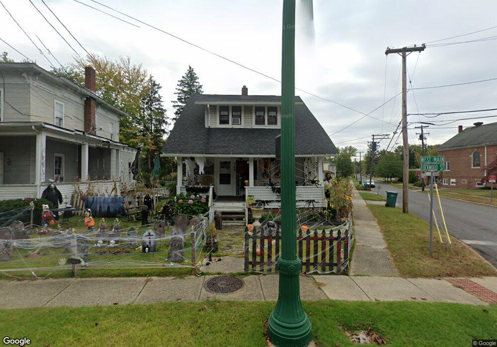
548 W Main St Geneva, OH 44041
Geneva NeighborhoodEstimated Value: $124,000 - $140,569
3
Beds
1
Bath
1,008
Sq Ft
$132/Sq Ft
Est. Value
About This Home
This home is located at 548 W Main St, Geneva, OH 44041 and is currently estimated at $133,142, approximately $132 per square foot. 548 W Main St is a home located in Ashtabula County with nearby schools including Geneva Middle School, Geneva High School, and Assumption School.
Ownership History
Date
Name
Owned For
Owner Type
Purchase Details
Closed on
Mar 17, 2025
Sold by
Cuccaro John and Cuccaro Danya
Bought by
Yommer Terry and Lowry Sarah
Current Estimated Value
Home Financials for this Owner
Home Financials are based on the most recent Mortgage that was taken out on this home.
Original Mortgage
$105,738
Outstanding Balance
$105,105
Interest Rate
6.87%
Mortgage Type
FHA
Estimated Equity
$28,037
Purchase Details
Closed on
Sep 20, 2013
Sold by
Ice Randy and Ice Dori
Bought by
Cuccaro John and Cuccaro Danya
Create a Home Valuation Report for This Property
The Home Valuation Report is an in-depth analysis detailing your home's value as well as a comparison with similar homes in the area
Home Values in the Area
Average Home Value in this Area
Purchase History
| Date | Buyer | Sale Price | Title Company |
|---|---|---|---|
| Yommer Terry | $129,900 | Venture Title | |
| Yommer Terry | $129,900 | Venture Title | |
| Cuccaro John | $28,000 | Buckeye Title |
Source: Public Records
Mortgage History
| Date | Status | Borrower | Loan Amount |
|---|---|---|---|
| Open | Yommer Terry | $105,738 | |
| Closed | Yommer Terry | $105,738 |
Source: Public Records
Tax History Compared to Growth
Tax History
| Year | Tax Paid | Tax Assessment Tax Assessment Total Assessment is a certain percentage of the fair market value that is determined by local assessors to be the total taxable value of land and additions on the property. | Land | Improvement |
|---|---|---|---|---|
| 2024 | $2,382 | $28,250 | $4,130 | $24,120 |
| 2023 | $1,397 | $28,250 | $4,130 | $24,120 |
| 2022 | $1,130 | $22,480 | $3,190 | $19,290 |
| 2021 | $1,162 | $22,480 | $3,190 | $19,290 |
| 2020 | $1,162 | $22,480 | $3,190 | $19,290 |
| 2019 | $1,040 | $19,400 | $3,120 | $16,280 |
| 2018 | $913 | $19,400 | $3,120 | $16,280 |
| 2017 | $913 | $19,400 | $3,120 | $16,280 |
| 2016 | $923 | $19,040 | $3,080 | $15,960 |
| 2015 | $918 | $19,040 | $3,080 | $15,960 |
| 2014 | $889 | $19,040 | $3,080 | $15,960 |
| 2013 | $830 | $18,450 | $2,590 | $15,860 |
Source: Public Records
Map
Nearby Homes
- 165 S Eagle St
- 515 S Broadway
- 234 Elm St
- 754 Chestnut St
- 276 Beach St
- 613 Sherman St
- 45 S Cedar St
- 484 E Main St
- 549 E Main St
- 0 S Ridge Rd E Unit 5176296
- 815 S Nearing Cir
- VL N Crowell Ave
- 3410 N Broadway
- 70 Crown Point
- 2302 Walter Main Rd
- 3669 N Broadway
- 3581 Austin Rd Unit 51
- 3583 Austin Rd Unit 89
- 3583 Austin Rd Unit 67
- 3583 Austin Rd Unit 24