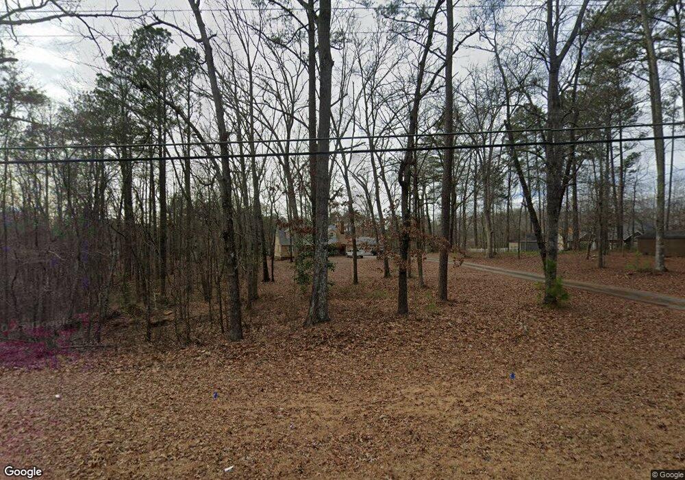
5481 Big a Rd Douglasville, GA 30135
Fouts Mill NeighborhoodEstimated Value: $256,821 - $348,000
3
Beds
2
Baths
1,761
Sq Ft
$175/Sq Ft
Est. Value
About This Home
This home is located at 5481 Big a Rd, Douglasville, GA 30135 and is currently estimated at $307,955, approximately $174 per square foot. 5481 Big a Rd is a home located in Douglas County with nearby schools including Bill Arp Elementary School, Fairplay Middle School, and Chapel Hill High School.
Ownership History
Date
Name
Owned For
Owner Type
Purchase Details
Closed on
Jun 9, 2006
Sold by
Hilton Brett O and Hilton Mandi B
Bought by
Veal David K
Current Estimated Value
Home Financials for this Owner
Home Financials are based on the most recent Mortgage that was taken out on this home.
Original Mortgage
$30,000
Interest Rate
6.49%
Mortgage Type
New Conventional
Purchase Details
Closed on
Jul 3, 2001
Sold by
Crestmark Homes Inc
Bought by
Hilton Brett O and Hilton Mandi B
Home Financials for this Owner
Home Financials are based on the most recent Mortgage that was taken out on this home.
Original Mortgage
$152,000
Interest Rate
6.67%
Mortgage Type
New Conventional
Create a Home Valuation Report for This Property
The Home Valuation Report is an in-depth analysis detailing your home's value as well as a comparison with similar homes in the area
Home Values in the Area
Average Home Value in this Area
Purchase History
| Date | Buyer | Sale Price | Title Company |
|---|---|---|---|
| Veal David K | $182,000 | -- | |
| Hilton Brett O | $160,000 | -- |
Source: Public Records
Mortgage History
| Date | Status | Borrower | Loan Amount |
|---|---|---|---|
| Open | Veal David | $25,000 | |
| Open | -- | $72,000 | |
| Closed | Veal David | $100,000 | |
| Closed | Veal David K | $30,000 | |
| Previous Owner | Hilton Brett O | $128,800 | |
| Previous Owner | Hilton Brett O | $21,250 | |
| Previous Owner | Hilton Brett O | $152,000 |
Source: Public Records
Tax History Compared to Growth
Tax History
| Year | Tax Paid | Tax Assessment Tax Assessment Total Assessment is a certain percentage of the fair market value that is determined by local assessors to be the total taxable value of land and additions on the property. | Land | Improvement |
|---|---|---|---|---|
| 2024 | $1,514 | $89,760 | $15,600 | $74,160 |
| 2023 | $1,514 | $89,760 | $15,600 | $74,160 |
| 2022 | $1,568 | $89,760 | $15,600 | $74,160 |
| 2021 | $1,372 | $70,000 | $15,440 | $54,560 |
| 2020 | $1,391 | $70,000 | $15,440 | $54,560 |
| 2019 | $1,267 | $68,440 | $15,440 | $53,000 |
| 2018 | $1,249 | $66,240 | $15,440 | $50,800 |
| 2017 | $1,194 | $60,160 | $15,440 | $44,720 |
| 2016 | $1,188 | $58,600 | $15,600 | $43,000 |
| 2015 | $1,189 | $57,120 | $15,600 | $41,520 |
| 2014 | $1,144 | $53,960 | $15,600 | $38,360 |
| 2013 | -- | $53,320 | $15,600 | $37,720 |
Source: Public Records
Map
Nearby Homes
- 5355 Brookshire Ct
- 5239 Nora Dr
- 6881 Dogwood Ln
- 0 Big a Rd Unit 20169908
- 6181 Shallow Wood Ln
- 6290 Shallowford Way
- 5225 Kings Hwy
- 5181 Kilroy Ln
- 6710 Grayland Dr
- 6236 Shallow Creek Ln
- 5965 Hickory Bend Dr
- 6883 Lakeshore Dr
- 6258 N Summers Cir
- 3949 Georgia 5
- 7212 Avalon Dr
- 5581 Fox Glove Ct
- 6025 Old Timber Trail Unit 11
- 5155 Oakdale Ct
- 5985 Old Timber Trail Unit 7
- 5493 Big a Rd
- 5493 Big a Rd Unit 20
- 6625 Ashebrooke Dr
- 6635 Ashebrooke Dr
- 0 Ashebrooke Dr Unit 8414023
- 0 Ashebrooke Dr Unit 8313712
- 0 Ashebrooke Dr Unit 7607424
- 0 Ashebrooke Dr Unit 7584291
- 0 Ashebrooke Dr Unit 8429159
- 0 Ashebrooke Dr Unit 8235301
- 0 Ashebrooke Dr Unit 8972167
- 0 Ashebrooke Dr Unit 7144266
- 0 Ashebrooke Dr Unit 7202604
- 0 Ashebrooke Dr Unit 7293408
- 0 Ashebrooke Dr Unit 7398758
- 0 Ashebrooke Dr
- 6605 Ashebrooke Dr
- 6645 Ashebrooke Dr
- 5523 Big a Rd
- 5515 Big a Rd
