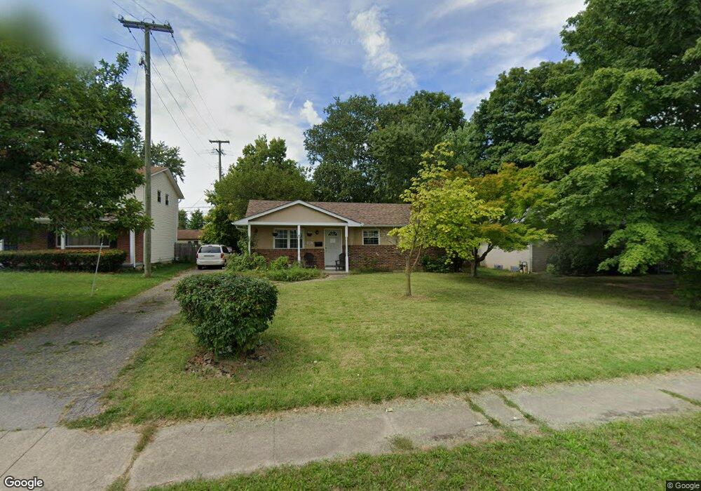
5481 Karl Rd Columbus, OH 43229
Forest Park West NeighborhoodEstimated Value: $232,722 - $260,000
3
Beds
1
Bath
1,120
Sq Ft
$219/Sq Ft
Est. Value
About This Home
This home is located at 5481 Karl Rd, Columbus, OH 43229 and is currently estimated at $245,181, approximately $218 per square foot. 5481 Karl Rd is a home located in Franklin County with nearby schools including Forest Park Elementary School, Woodward Park Middle School, and Northland High School.
Ownership History
Date
Name
Owned For
Owner Type
Purchase Details
Closed on
Jan 27, 2000
Sold by
Estate Of Margery A Fann
Bought by
Fann William D
Current Estimated Value
Home Financials for this Owner
Home Financials are based on the most recent Mortgage that was taken out on this home.
Original Mortgage
$20,000
Outstanding Balance
$6,525
Interest Rate
7.98%
Estimated Equity
$238,657
Purchase Details
Closed on
Jan 25, 2000
Sold by
Fann Ronald E and Fann William D
Bought by
Fann David
Home Financials for this Owner
Home Financials are based on the most recent Mortgage that was taken out on this home.
Original Mortgage
$20,000
Outstanding Balance
$6,525
Interest Rate
7.98%
Estimated Equity
$238,657
Create a Home Valuation Report for This Property
The Home Valuation Report is an in-depth analysis detailing your home's value as well as a comparison with similar homes in the area
Home Values in the Area
Average Home Value in this Area
Purchase History
| Date | Buyer | Sale Price | Title Company |
|---|---|---|---|
| Fann William D | -- | -- | |
| Fann David | -- | -- |
Source: Public Records
Mortgage History
| Date | Status | Borrower | Loan Amount |
|---|---|---|---|
| Open | Fann David | $20,000 |
Source: Public Records
Tax History Compared to Growth
Tax History
| Year | Tax Paid | Tax Assessment Tax Assessment Total Assessment is a certain percentage of the fair market value that is determined by local assessors to be the total taxable value of land and additions on the property. | Land | Improvement |
|---|---|---|---|---|
| 2024 | $3,173 | $69,240 | $20,830 | $48,410 |
| 2023 | $3,134 | $69,240 | $20,830 | $48,410 |
| 2022 | $2,207 | $41,520 | $11,100 | $30,420 |
| 2021 | $2,210 | $41,520 | $11,100 | $30,420 |
| 2020 | $2,214 | $41,520 | $11,100 | $30,420 |
| 2019 | $2,066 | $33,220 | $8,890 | $24,330 |
| 2018 | $1,031 | $33,220 | $8,890 | $24,330 |
| 2017 | $2,065 | $33,220 | $8,890 | $24,330 |
| 2016 | $1,886 | $27,760 | $7,460 | $20,300 |
| 2015 | $859 | $27,760 | $7,460 | $20,300 |
| 2014 | $1,721 | $27,760 | $7,460 | $20,300 |
| 2013 | $893 | $29,190 | $7,840 | $21,350 |
Source: Public Records
Map
Nearby Homes
- 1469 Sandalwood Place
- 5486 Pine Bluff Rd
- 1411 Firwood Dr
- 1687 Brookfield Square S
- 5485 Tamarack Blvd
- 5674 Lindenwood Rd
- 1752 Pine Tree St S Unit H
- 1704 Riverbirch Dr
- 1914 Walden Dr
- 5480 Rockwood Ct Unit R1
- 1744 Riverbirch Dr
- 5415 Vinewood Ct
- 5124 Northcliff Loop W
- 5548 Roche Dr
- 5462 Roche Dr
- 5357 Torchwood Loop W
- 5004 Julie Place
- 5990 Ambleside Dr
- 5579 Norcross Rd
- 1385 Thurell Rd
- 5473 Karl Rd
- 5487 Karl Rd
- 5465 Karl Rd
- 5488 Hazelwood Rd
- 5495 Karl Rd
- 5480 Hazelwood Rd
- 5496 Hazelwood Rd
- 5472 Hazelwood Rd
- 5504 Hazelwood Rd
- 5457 Karl Rd
- 5507 Karl Rd
- 5464 Hazelwood Rd
- 5512 Hazelwood Rd
- 5449 Karl Rd
- 5515 Karl Rd
- 5456 Hazelwood Rd
- 5546 Karl Rd
- 5520 Hazelwood Rd
- 5489 Hazelwood Rd
- 5441 Karl Rd