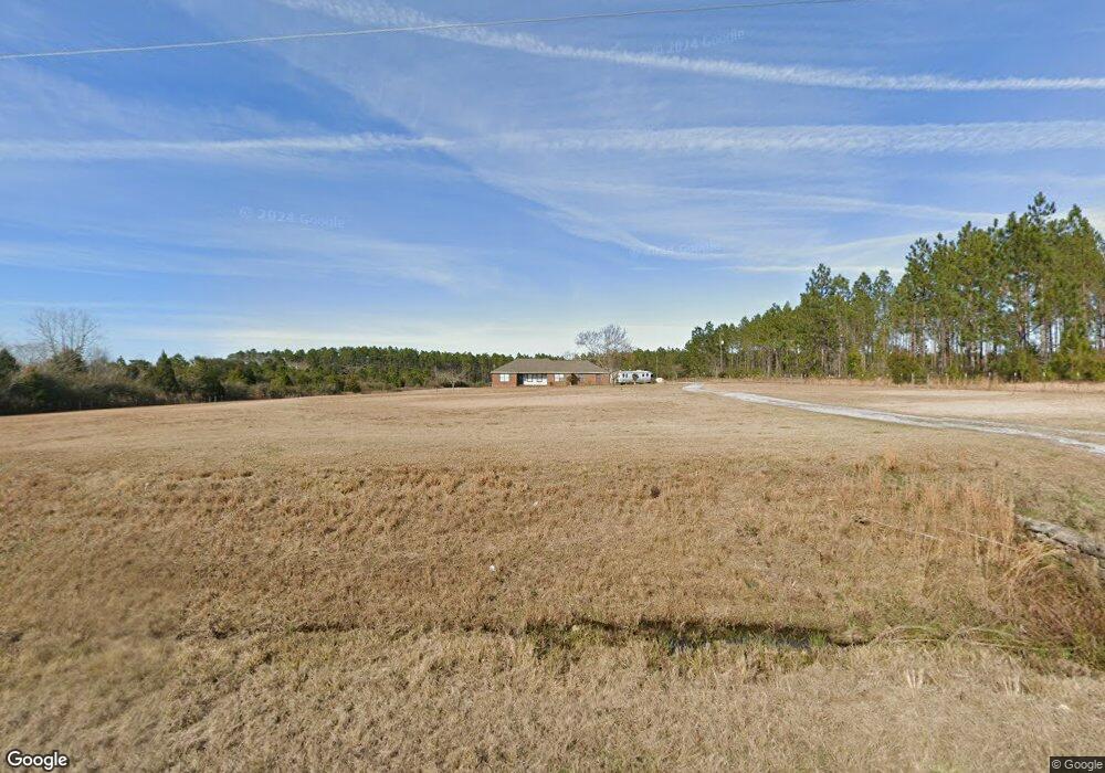
5484 County Highway 192 Defuniak Springs, FL 32433
Estimated Value: $396,000 - $533,000
3
Beds
2
Baths
1,970
Sq Ft
$231/Sq Ft
Est. Value
About This Home
This home is located at 5484 County Highway 192, Defuniak Springs, FL 32433 and is currently estimated at $454,304, approximately $230 per square foot. 5484 County Highway 192 is a home located in Walton County with nearby schools including Maude Saunders Elementary School, West Defuniak Elementary School, and Walton Middle School.
Ownership History
Date
Name
Owned For
Owner Type
Purchase Details
Closed on
Jan 16, 2007
Sold by
Simpson Chester E and Simpson Susan M
Bought by
Farber Ned W and Farber Christine
Current Estimated Value
Home Financials for this Owner
Home Financials are based on the most recent Mortgage that was taken out on this home.
Original Mortgage
$297,000
Outstanding Balance
$176,001
Interest Rate
6.06%
Mortgage Type
Purchase Money Mortgage
Estimated Equity
$278,303
Create a Home Valuation Report for This Property
The Home Valuation Report is an in-depth analysis detailing your home's value as well as a comparison with similar homes in the area
Home Values in the Area
Average Home Value in this Area
Purchase History
| Date | Buyer | Sale Price | Title Company |
|---|---|---|---|
| Farber Ned W | $330,000 | Landmark Title & Escrow Inc |
Source: Public Records
Mortgage History
| Date | Status | Borrower | Loan Amount |
|---|---|---|---|
| Open | Farber Ned W | $297,000 |
Source: Public Records
Tax History Compared to Growth
Tax History
| Year | Tax Paid | Tax Assessment Tax Assessment Total Assessment is a certain percentage of the fair market value that is determined by local assessors to be the total taxable value of land and additions on the property. | Land | Improvement |
|---|---|---|---|---|
| 2024 | $1,185 | $175,848 | -- | -- |
| 2023 | $1,185 | $170,726 | $0 | $0 |
| 2022 | $1,173 | $165,753 | $0 | $0 |
| 2021 | $1,186 | $160,925 | $0 | $0 |
| 2020 | $1,206 | $158,703 | $21,000 | $137,703 |
| 2019 | $1,202 | $159,070 | $21,000 | $138,070 |
| 2018 | $1,189 | $157,028 | $0 | $0 |
| 2017 | $1,200 | $157,678 | $21,000 | $136,678 |
| 2016 | $1,185 | $154,773 | $0 | $0 |
| 2015 | $1,106 | $144,314 | $0 | $0 |
| 2014 | $1,123 | $144,314 | $0 | $0 |
Source: Public Records
Map
Nearby Homes
- 116 Woodrum Rd
- 4103 King Lake Rd
- 1 ac. Amanda Ln
- 3.2 acres Paul Rd
- 600 Paradise Island Dr
- 2 Acres N Norwood North Rd
- 50 Kings Lake Blvd
- 834 Paradise Island Dr
- 000 Kings Lake Blvd
- 1100 Kings Lake Blvd
- 193 Seminole Terrace
- 395 Lake Holley Cir
- 00 Lake Holley Cir
- 227 Holland Rd
- 149 Nusom Dr
- xxx King Lake Rd
- LOT #56 Seacoast Way
- 50 Seacoast Estates
- Lot 59 Seacoast Way
- Lot 53 Seacoast Way
- 00 Co Hwy 192
- 5699 County Highway 192
- 5389 County Highway 192
- 6102 Us Hwy 331 N
- 106 Andrews Ave
- 34 Stanley Rd
- 159 Andrews Ave
- 119 Andrews Rd
- XX Us-331
- 6101 Us Highway 331 N
- 6655 Us Highway 331 N
- 249 Andrews Ave
- 193 Andrews Rd
- 6101 N Us-331
- 5001 County Highway 192
- 210 Dr Nelson Rd
- 62 Cordle Rd
- 34 Cordle Rd
- 6812 Us Highway 331 N
- 182 Woodrum Rd