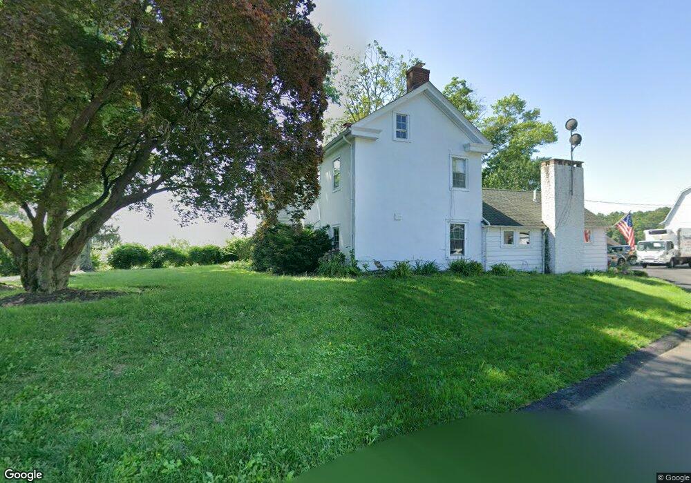
5484 Haring Rd Doylestown, PA 18902
Plumstead NeighborhoodEstimated Value: $385,000 - $694,000
5
Beds
2
Baths
3,254
Sq Ft
$166/Sq Ft
Est. Value
About This Home
This home is located at 5484 Haring Rd, Doylestown, PA 18902 and is currently estimated at $539,500, approximately $165 per square foot. 5484 Haring Rd is a home located in Bucks County with nearby schools including Groveland Elementary School, Tohickon Middle School, and Central Bucks High School-West.
Ownership History
Date
Name
Owned For
Owner Type
Purchase Details
Closed on
May 25, 2022
Sold by
Haring Elizabeth M
Bought by
Haring Elizabeth M and Lapsley Michael P
Current Estimated Value
Purchase Details
Closed on
Apr 4, 2014
Sold by
Haring Elizabeth M
Bought by
Haring Elizabeth M
Purchase Details
Closed on
Jan 26, 2007
Sold by
Hendrick Kenneth and Hendrick Sandra L Haring
Bought by
Lapsley Michael P and Lapsley Caroline L
Home Financials for this Owner
Home Financials are based on the most recent Mortgage that was taken out on this home.
Original Mortgage
$316,000
Interest Rate
7.9%
Mortgage Type
Unknown
Purchase Details
Closed on
Jul 25, 1975
Bought by
Haring Wilson H and Haring Elizabeth M
Create a Home Valuation Report for This Property
The Home Valuation Report is an in-depth analysis detailing your home's value as well as a comparison with similar homes in the area
Home Values in the Area
Average Home Value in this Area
Purchase History
| Date | Buyer | Sale Price | Title Company |
|---|---|---|---|
| Haring Elizabeth M | $100,000 | Cheleden Charles G | |
| Haring Elizabeth M | -- | None Available | |
| Lapsley Michael P | $395,000 | None Available | |
| Haring Wilson H | $75,000 | -- |
Source: Public Records
Mortgage History
| Date | Status | Borrower | Loan Amount |
|---|---|---|---|
| Previous Owner | Lapsley Michael P | $316,000 |
Source: Public Records
Tax History Compared to Growth
Tax History
| Year | Tax Paid | Tax Assessment Tax Assessment Total Assessment is a certain percentage of the fair market value that is determined by local assessors to be the total taxable value of land and additions on the property. | Land | Improvement |
|---|---|---|---|---|
| 2025 | $10,522 | $60,560 | $5,220 | $55,340 |
| 2024 | $10,522 | $60,560 | $5,220 | $55,340 |
| 2023 | $10,188 | $60,560 | $5,220 | $55,340 |
| 2022 | $10,074 | $60,560 | $5,220 | $55,340 |
| 2021 | $9,962 | $88,590 | $33,250 | $55,340 |
| 2020 | $9,962 | $88,590 | $33,250 | $55,340 |
| 2019 | $9,901 | $88,590 | $33,250 | $55,340 |
| 2018 | $9,901 | $88,590 | $33,250 | $55,340 |
| 2017 | $9,765 | $88,590 | $33,250 | $55,340 |
| 2016 | -- | $88,590 | $33,250 | $55,340 |
| 2015 | -- | $88,590 | $33,250 | $55,340 |
| 2014 | -- | $88,590 | $33,250 | $55,340 |
Source: Public Records
Map
Nearby Homes
- 4936 Curly Hill Rd
- 4811 Lincoln Aly
- 5068 Kratz Carriage Rd
- 4298 Kleinot Dr
- 4306 Kleinot Dr
- 4246 Kleinot Dr
- 4464 Kleinot Dr
- 4330 Kleinot Dr
- 4317 Kleinot Dr
- 4263 Kleinot Dr
- 0 Valley Park Rd
- 4000 Miriam Dr
- 3923 Ferry Rd
- 3789 Stump Rd
- 4964 Point Pleasant Pike
- 1222 Hockley Dr
- 1214 Hockley Dr
- 5403 Stump Rd
- 204 Pennland Farm Dr
- 3838 Jacob Stout Rd
- 5449 Haring Rd
- 5449 Old Easton Rd
- 5540 Haring Rd
- 5449 Easton Rd
- 1157 N Easton Rd Unit 2
- 135-007 Easton Rd
- 1190 N Easton Rd
- 4573 Curly Hill Rd
- 5550 Haring Rd
- 4432 Curly Hill Rd
- 5370 Old Easton Rd
- 5550 Old Easton Rd
- 4375 Curly Hill Rd
- 5511 Easton Rd
- 11 Poplar Ln
- 5440 Old Easton Rd
- 5366 Old Easton Rd
- 4595 Curly Hill Rd
- 5342 Old Easton Rd
- 1 Poplar Ln