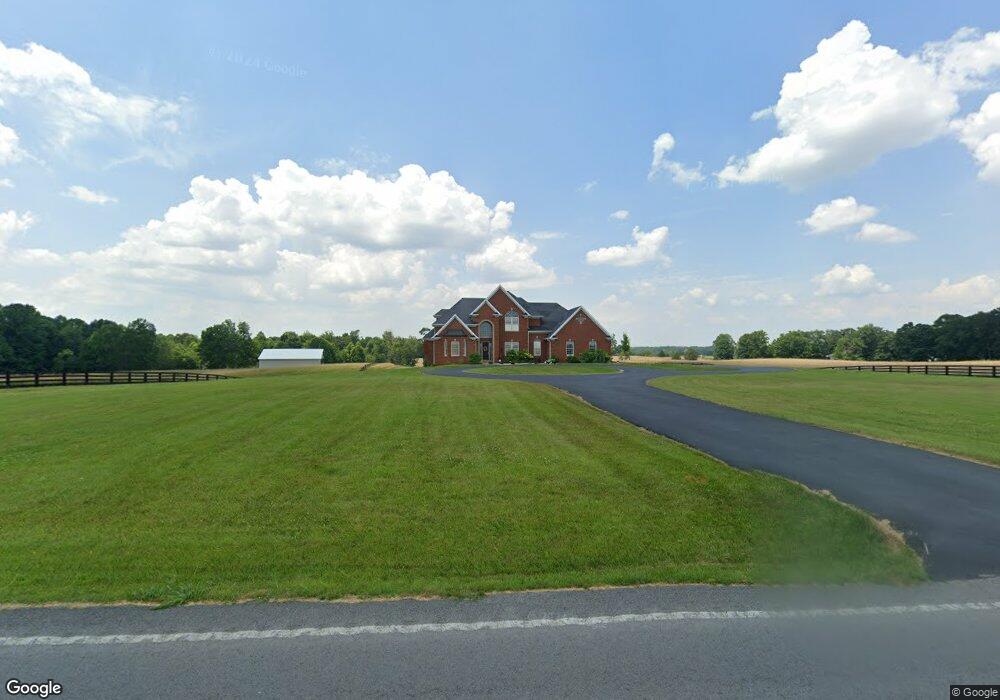
5485 Highway 379 Unit Tract 7 Russell Springs, KY 42642
Estimated Value: $674,000 - $885,000
4
Beds
3
Baths
4,200
Sq Ft
$189/Sq Ft
Est. Value
About This Home
This home is located at 5485 Highway 379 Unit Tract 7, Russell Springs, KY 42642 and is currently estimated at $794,117, approximately $189 per square foot. 5485 Highway 379 Unit Tract 7 is a home located in Russell County with nearby schools including Russell County High School.
Ownership History
Date
Name
Owned For
Owner Type
Purchase Details
Closed on
Feb 9, 2024
Sold by
Loy Vicki
Bought by
Cooper Vic and Cooper Leanne
Current Estimated Value
Purchase Details
Closed on
Oct 6, 2023
Sold by
Loy Vicki
Bought by
Loy Development Llc
Purchase Details
Closed on
Aug 31, 2021
Sold by
Loy Jeffrey C and Loy Vicki
Bought by
Weslyn Land Company Inc
Purchase Details
Closed on
Apr 27, 2021
Sold by
Clint Loy Jeffrey and Clint Vicki L
Bought by
Pjm Solar Devco I Llc
Purchase Details
Closed on
Oct 30, 2006
Sold by
Burton Patricia Gail and Burton Clem
Bought by
Loy Jeffrey C and Loy Vicki
Create a Home Valuation Report for This Property
The Home Valuation Report is an in-depth analysis detailing your home's value as well as a comparison with similar homes in the area
Home Values in the Area
Average Home Value in this Area
Purchase History
| Date | Buyer | Sale Price | Title Company |
|---|---|---|---|
| Cooper Vic | $785,000 | None Listed On Document | |
| Loy Development Llc | $401,500 | None Listed On Document | |
| Weslyn Land Company Inc | $363,000 | Smith David F | |
| Pjm Solar Devco I Llc | -- | None Listed On Document | |
| Loy Jeffrey C | $228,000 | None Available |
Source: Public Records
Tax History Compared to Growth
Tax History
| Year | Tax Paid | Tax Assessment Tax Assessment Total Assessment is a certain percentage of the fair market value that is determined by local assessors to be the total taxable value of land and additions on the property. | Land | Improvement |
|---|---|---|---|---|
| 2024 | $3,788 | $400,000 | $0 | $0 |
| 2023 | $3,137 | $323,700 | $0 | $0 |
| 2022 | $3,150 | $323,700 | $0 | $0 |
| 2021 | $3,224 | $323,700 | $0 | $0 |
| 2020 | $3,234 | $323,700 | $0 | $0 |
| 2019 | $3,231 | $323,700 | $0 | $0 |
| 2018 | $3,212 | $323,700 | $0 | $0 |
| 2017 | $3,194 | $323,700 | $0 | $0 |
| 2016 | $3,122 | $323,710 | $0 | $0 |
| 2015 | -- | $323,700 | $0 | $0 |
| 2013 | -- | $550,000 | $0 | $0 |
Source: Public Records
Map
Nearby Homes
- 243 Akers Rd
- 4661 Kentucky 379
- 157 Hale Wilson Rd
- 529 Lakewood Dr
- 2295 Kentucky 92
- 5410 Kentucky 92
- 0 Rambling Creek Rd
- 2941 N Highway 379
- 1865 Blair School Rd
- 000 S Grider Rd
- Lot 11 Pickett Ln
- 78 Hoover Rd
- 0 Gaskin Ln
- S Grider Rd
- 286 Geneva Dr
- 2485 N Main St
- 30 Leveridge Ct
- 1243 N Main St
- 35 Leveridge Ct
- 807 W Cumberland Ave
- 5369 Highway 379
- 5485 Highway 379
- 5364 Highway 379
- 5484 Kentucky 379
- 560 Houston Ln
- 5251 Highway 379
- 5592 Highway 379
- 5211 Highway 379
- 5298 Highway 379
- 5386 Highway 379
- 5138 Highway 379
- 99 Houston Ln
- 205 Houston Ln
- 81 Panda Ln
- 80 Panda Ln
- 5087 Kentucky 379
- 131 Panda Ln
- 50 Panda Ln
- 150 Panda Ln
- 5076 Highway 379