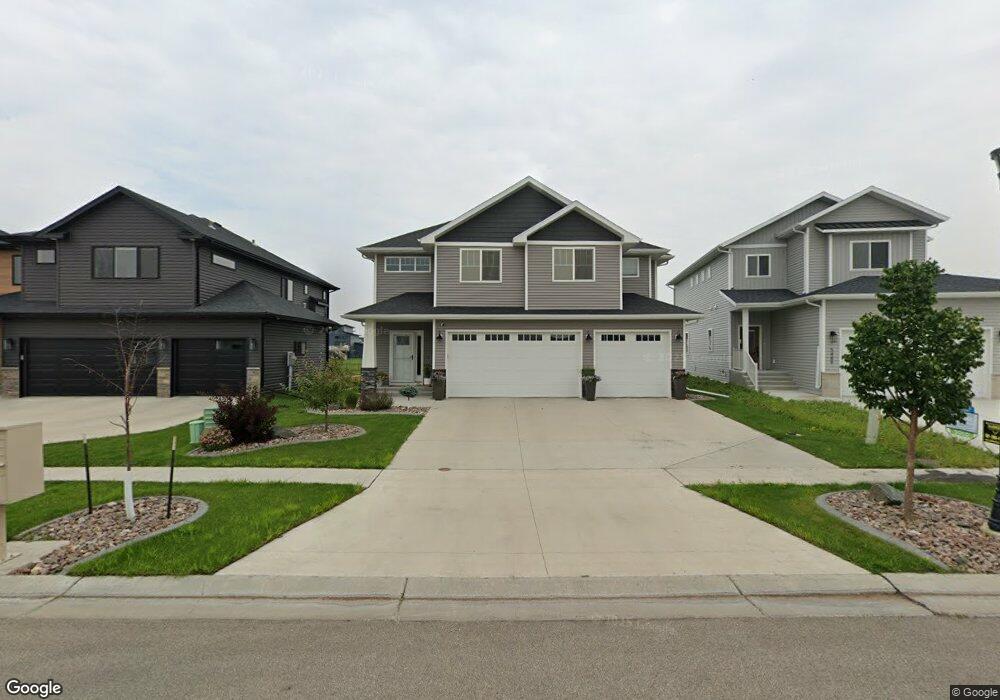
5485 Lori Ln W West Fargo, ND 58078
The Wilds NeighborhoodEstimated Value: $423,000 - $470,000
4
Beds
3
Baths
2,238
Sq Ft
$198/Sq Ft
Est. Value
About This Home
This home is located at 5485 Lori Ln W, West Fargo, ND 58078 and is currently estimated at $442,739, approximately $197 per square foot. 5485 Lori Ln W is a home located in Cass County with nearby schools including Legacy Elementary School, Liberty Middle School, and West Fargo Sheyenne High School.
Ownership History
Date
Name
Owned For
Owner Type
Purchase Details
Closed on
Jul 15, 2022
Sold by
Ripplinger and Kevin
Bought by
Emery Joel and Emery Tara
Current Estimated Value
Home Financials for this Owner
Home Financials are based on the most recent Mortgage that was taken out on this home.
Original Mortgage
$390,600
Outstanding Balance
$371,611
Interest Rate
5.09%
Mortgage Type
New Conventional
Estimated Equity
$71,128
Purchase Details
Closed on
Nov 2, 2020
Sold by
Jordahl Custom Homees Inc
Bought by
Ripplinger Kayla and Ripplinger Kevin
Home Financials for this Owner
Home Financials are based on the most recent Mortgage that was taken out on this home.
Original Mortgage
$337,504
Interest Rate
2.9%
Mortgage Type
FHA
Create a Home Valuation Report for This Property
The Home Valuation Report is an in-depth analysis detailing your home's value as well as a comparison with similar homes in the area
Home Values in the Area
Average Home Value in this Area
Purchase History
| Date | Buyer | Sale Price | Title Company |
|---|---|---|---|
| Emery Joel | $434,000 | The Title Company | |
| Ripplinger Kayla | $346,242 | The Title Co Residential |
Source: Public Records
Mortgage History
| Date | Status | Borrower | Loan Amount |
|---|---|---|---|
| Open | Emery Joel | $390,600 | |
| Previous Owner | Ripplinger Kayla | $337,504 |
Source: Public Records
Tax History Compared to Growth
Tax History
| Year | Tax Paid | Tax Assessment Tax Assessment Total Assessment is a certain percentage of the fair market value that is determined by local assessors to be the total taxable value of land and additions on the property. | Land | Improvement |
|---|---|---|---|---|
| 2024 | $7,891 | $210,250 | $33,800 | $176,450 |
| 2023 | $7,779 | $187,750 | $33,800 | $153,950 |
| 2022 | $6,320 | $132,250 | $33,800 | $98,450 |
| 2021 | $4,757 | $83,450 | $28,150 | $55,300 |
| 2020 | $1,716 | $19,700 | $19,700 | $0 |
| 2019 | $364 | $200 | $200 | $0 |
Source: Public Records
Map
Nearby Homes
- 5476 Lori Ln W
- 1025 Ashley Dr W
- 1033 Ashley Dr W
- 1001 Ashley Dr W
- 5460 11th St W
- 977 Ashley Dr W
- 1105 Jill Dr W
- 811 Cathy Dr W
- 1129 Jill Dr W
- 5219 11th St W
- Rockford Plan at The Wilds - The Wilds 21st Addition
- 5816 James Dr W
- Kittson Plan at The Wilds - The Wilds 21st Addition
- Pinehurst Plan at The Wilds - The Wilds 21st Addition
- Douglas Plan at The Wilds - The Wilds 21st Addition
- Kittson II Plan at The Wilds - The Wilds 21st Addition
- Augusta Plan at The Wilds - The Wilds 21st Addition
- Archer Plan at The Wilds - The Wilds 21st Addition
- Franklin Plan at The Wilds - The Wilds 21st Addition
- 1182 Jill Dr W
- 5481 Lori Ln W
- 5477 Lori Ln W
- 5493 Lori Ln W
- 5473 Lori Ln W
- 5497 Lori Ln W
- 5469 Lori Ln W
- 5480 Lori Ln W
- 5465 Lori Ln W
- 5484 Lori Ln W
- 5490 Lori Ln W
- 1029 Ashley Dr W
- 5466 Lori Ln W
- 5461 Lori Ln W
- 5507 Lori Ln W
- 5462 Lori Ln W
- 1021 Ashley Dr W
- 5506 Lori Ln W
- 5457 Lori Ln W
- 5497 11th St W
- 1037 Ashley Dr W