Estimated Value: $221,000 - $229,000
3
Beds
2
Baths
1,417
Sq Ft
$158/Sq Ft
Est. Value
About This Home
This home is located at 5488 S Forrest Hill Rd, Atoka, OK 74525 and is currently estimated at $223,862, approximately $157 per square foot. 5488 S Forrest Hill Rd is a home located in Atoka County with nearby schools including Harmony Public School.
Ownership History
Date
Name
Owned For
Owner Type
Purchase Details
Closed on
Apr 24, 2017
Sold by
Keeler Scott D and Keeler Debra C
Bought by
Armstrong Joshua Lee
Current Estimated Value
Home Financials for this Owner
Home Financials are based on the most recent Mortgage that was taken out on this home.
Original Mortgage
$110,649
Interest Rate
4.3%
Mortgage Type
New Conventional
Purchase Details
Closed on
Oct 20, 2011
Sold by
Jolly Hal
Bought by
Keeler Scott Dwayne
Purchase Details
Closed on
May 8, 2007
Sold by
Ultimate Builders
Bought by
Hal Jolly
Create a Home Valuation Report for This Property
The Home Valuation Report is an in-depth analysis detailing your home's value as well as a comparison with similar homes in the area
Home Values in the Area
Average Home Value in this Area
Purchase History
| Date | Buyer | Sale Price | Title Company |
|---|---|---|---|
| Armstrong Joshua Lee | $118,000 | -- | |
| Keeler Scott Dwayne | $107,500 | -- | |
| Hal Jolly | $112,000 | -- |
Source: Public Records
Mortgage History
| Date | Status | Borrower | Loan Amount |
|---|---|---|---|
| Closed | Armstrong Joshua Lee | $110,649 |
Source: Public Records
Tax History Compared to Growth
Tax History
| Year | Tax Paid | Tax Assessment Tax Assessment Total Assessment is a certain percentage of the fair market value that is determined by local assessors to be the total taxable value of land and additions on the property. | Land | Improvement |
|---|---|---|---|---|
| 2024 | $1,223 | $17,398 | $840 | $16,558 |
| 2023 | $1,185 | $16,891 | $775 | $16,116 |
| 2022 | $1,149 | $16,399 | $684 | $15,715 |
| 2021 | $1,113 | $15,922 | $684 | $15,238 |
| 2020 | $1,079 | $15,458 | $684 | $14,774 |
| 2019 | $1,098 | $14,722 | $684 | $14,038 |
| 2018 | $1,063 | $14,160 | $684 | $13,476 |
| 2017 | $984 | $14,120 | $684 | $13,436 |
| 2016 | $1,000 | $14,267 | $684 | $13,583 |
| 2015 | $984 | $14,152 | $684 | $13,468 |
| 2014 | $1,059 | $15,156 | $624 | $14,532 |
Source: Public Records
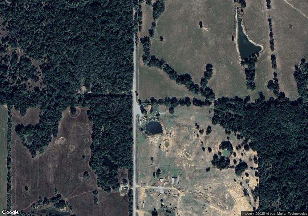
Map
Nearby Homes
- 0 S Forrest Hill Rd
- 3153 E Boggy Depot Rd
- 0 S Half Bank Unit 2543004
- 0 S Half Bank Unit 2525754
- 2284 E Roping Rd
- 00018 E Windy Ln
- 161 N Hickory Ave
- 1411 W Dairy Ln
- 2279 E Decker Dr
- 00 Katy Rd
- 6676 State Highway 3
- 2289 W Community Chapel Rd
- 0 Katy Rd
- 2736 E Windy Ln
- 7951 S Katy Rd
- 2067 S Mississippi Ave
- 3526 S Mississippi Ave
- 000 Oak Tree
- 1 Oak Tree
- 2865 S Oak Leaf Ln
- 5488 S Forrest Hill Rd
- 560 S Forrest Hill Rd Unit B
- 560 S Forrest Hill Rd Unit C
- 560 S Forrest Hill Rd Unit A
- 5295 S Forrest Hill Rd
- 5149 S Forrest Hill Rd
- 0000 Boggy Depot Rd
- 3270 E Boggy Depot Rd
- 3506 E Boggy Depot Rd
- 3240 E Boggy Depot Rd
- 6091 S Forrest Hill Rd
- 351 E Windy Ln Unit C
- 351 E Windy Ln Unit B
- 2708 E Windy Ln
- 4862 S Forrest Hill Rd
- 4862 S Forrest Hill Rd
- 3526 E Boggy Depot Rd
- 2540 E Windy Ln
- 354 E Boggy Depot Rd
- 2380 E Boggy Depot Rd