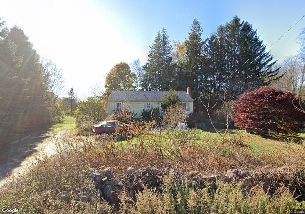
549 Amston Rd Colchester, CT 06415
Estimated Value: $328,000 - $342,000
2
Beds
2
Baths
1,144
Sq Ft
$290/Sq Ft
Est. Value
About This Home
This home is located at 549 Amston Rd, Colchester, CT 06415 and is currently estimated at $332,309, approximately $290 per square foot. 549 Amston Rd is a home located in New London County with nearby schools including Colchester Elementary School, Jack Jackter Intermediate School, and William J. Johnston Middle School.
Ownership History
Date
Name
Owned For
Owner Type
Purchase Details
Closed on
May 22, 1995
Sold by
Adams Ernest L
Bought by
Stevens Deborah D
Current Estimated Value
Home Financials for this Owner
Home Financials are based on the most recent Mortgage that was taken out on this home.
Original Mortgage
$63,000
Interest Rate
5.13%
Mortgage Type
Unknown
Purchase Details
Closed on
Sep 23, 1993
Sold by
Radwan Theodora A Est
Bought by
Adams Ernest L
Home Financials for this Owner
Home Financials are based on the most recent Mortgage that was taken out on this home.
Original Mortgage
$41,000
Interest Rate
4%
Mortgage Type
Unknown
Create a Home Valuation Report for This Property
The Home Valuation Report is an in-depth analysis detailing your home's value as well as a comparison with similar homes in the area
Home Values in the Area
Average Home Value in this Area
Purchase History
| Date | Buyer | Sale Price | Title Company |
|---|---|---|---|
| Stevens Deborah D | $39,500 | -- | |
| Adams Ernest L | $58,000 | -- |
Source: Public Records
Mortgage History
| Date | Status | Borrower | Loan Amount |
|---|---|---|---|
| Closed | Adams Ernest L | $63,000 | |
| Previous Owner | Adams Ernest L | $41,000 |
Source: Public Records
Tax History Compared to Growth
Tax History
| Year | Tax Paid | Tax Assessment Tax Assessment Total Assessment is a certain percentage of the fair market value that is determined by local assessors to be the total taxable value of land and additions on the property. | Land | Improvement |
|---|---|---|---|---|
| 2025 | $4,201 | $140,400 | $41,700 | $98,700 |
| 2024 | $4,025 | $140,400 | $41,700 | $98,700 |
| 2023 | $3,822 | $140,400 | $41,700 | $98,700 |
| 2022 | $3,802 | $140,400 | $41,700 | $98,700 |
| 2021 | $3,685 | $112,200 | $38,100 | $74,100 |
| 2020 | $3,685 | $112,200 | $38,100 | $74,100 |
| 2019 | $3,685 | $112,200 | $38,100 | $74,100 |
| 2018 | $3,622 | $112,200 | $38,100 | $74,100 |
| 2017 | $3,632 | $112,200 | $38,100 | $74,100 |
| 2016 | $3,725 | $120,500 | $49,300 | $71,200 |
| 2015 | $3,707 | $120,500 | $49,300 | $71,200 |
| 2014 | $3,684 | $120,500 | $49,300 | $71,200 |
Source: Public Records
Map
Nearby Homes
- 236 Stollman Rd
- 283 Windham Ave
- 39 Jaffee Terrace
- 50 Center Ct Unit 50
- 710 Fieldstone Ct
- 401 Stage Coach Row
- 168 Park Ave
- 24 Wood Acres Rd
- 18 Spring Hill Rd
- 282 Deepwood Dr
- 14 Woodside Rd
- 2 Lots on Deepwood Dr
- 185 Deepwood Dr
- 56 Norwich Ave
- 0 Park Rd Unit 24130670
- 76 Park Rd
- 0 Deepwood Dr
- 0 Wildwood Dr
- 37 Andrews St
- 30 Island Beach Rd
- 545 Amston Rd
- 553 Amston Rd
- 539 Amston Rd
- 191 Miller Rd
- 563 Amston Rd
- 564 Amston Rd
- 544 Amston Rd
- 27 Settlers Path
- 557 Amston Rd
- 976 Church St
- 21 Settlers Path
- 969 Church St
- 13 Settlers Path
- 5 Hawks Landing
- 22 Settlers Path
- 967 Church St
- 13 Hawks Landing
- 16 Settlers Path
- 953 Church St
- 28 Settlers Path